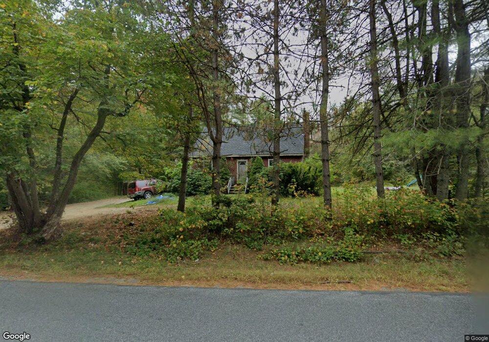
139 Swamp Rd Durham, ME 04222
Estimated Value: $370,000 - $492,000
3
Beds
2
Baths
1,512
Sq Ft
$275/Sq Ft
Est. Value
About This Home
This home is located at 139 Swamp Rd, Durham, ME 04222 and is currently estimated at $415,122, approximately $274 per square foot. 139 Swamp Rd is a home located in Androscoggin County with nearby schools including Durham Community School, Freeport High School, and Lisbon Falls Christian Academy.
Ownership History
Date
Name
Owned For
Owner Type
Purchase Details
Closed on
Oct 29, 2012
Sold by
Fhlmc
Bought by
Applebee Tyler S
Current Estimated Value
Home Financials for this Owner
Home Financials are based on the most recent Mortgage that was taken out on this home.
Original Mortgage
$144,897
Outstanding Balance
$98,776
Interest Rate
3.56%
Mortgage Type
Purchase Money Mortgage
Estimated Equity
$316,346
Purchase Details
Closed on
Jan 10, 2012
Sold by
Pine Patrick L and Pine Fhlmc
Bought by
Fhlmc
Purchase Details
Closed on
Sep 6, 2011
Sold by
Pine Patrick L
Bought by
Everhome Mortgage Co
Purchase Details
Closed on
Aug 15, 2006
Sold by
Horne Amy L and Horne Jory L
Bought by
Pine Patrick L and Pine Regina C
Home Financials for this Owner
Home Financials are based on the most recent Mortgage that was taken out on this home.
Original Mortgage
$155,200
Interest Rate
7%
Mortgage Type
Adjustable Rate Mortgage/ARM
Create a Home Valuation Report for This Property
The Home Valuation Report is an in-depth analysis detailing your home's value as well as a comparison with similar homes in the area
Home Values in the Area
Average Home Value in this Area
Purchase History
| Date | Buyer | Sale Price | Title Company |
|---|---|---|---|
| Applebee Tyler S | -- | -- | |
| Fhlmc | -- | -- | |
| Everhome Mortgage Co | $155,145 | -- | |
| Pine Patrick L | -- | -- |
Source: Public Records
Mortgage History
| Date | Status | Borrower | Loan Amount |
|---|---|---|---|
| Open | Applebee Tyler S | $144,897 | |
| Previous Owner | Pine Patrick L | $155,200 | |
| Previous Owner | Pine Patrick L | $29,100 |
Source: Public Records
Tax History
| Year | Tax Paid | Tax Assessment Tax Assessment Total Assessment is a certain percentage of the fair market value that is determined by local assessors to be the total taxable value of land and additions on the property. | Land | Improvement |
|---|---|---|---|---|
| 2025 | $5,756 | $171,400 | $62,000 | $109,400 |
| 2024 | $3,728 | $171,400 | $62,000 | $109,400 |
| 2023 | $3,659 | $171,400 | $62,000 | $109,400 |
| 2022 | $3,548 | $171,400 | $62,000 | $109,400 |
| 2021 | $3,548 | $171,400 | $62,000 | $109,400 |
| 2020 | $3,471 | $171,400 | $62,000 | $109,400 |
| 2019 | $443 | $171,400 | $62,000 | $109,400 |
| 2018 | $431 | $171,400 | $62,000 | $109,400 |
| 2016 | $1,422 | $171,400 | $62,000 | $109,400 |
| 2015 | $2,982 | $171,400 | $62,000 | $109,400 |
| 2014 | $2,854 | $171,400 | $62,000 | $109,400 |
| 2013 | $2,562 | $171,400 | $62,000 | $109,400 |
Source: Public Records
Map
Nearby Homes
- 45 Ruby Ln
- 253 Quaker Meeting House Rd
- 52 Shiloh Rd
- 277 Ferry Rd
- 606 Lisbon St
- 14 Goddard St
- 13 Frost Hill Ave
- 146 Shiloh Rd
- 27 Bowdoin St
- 18 Plummer St
- 39 Pine Knoll Dr
- 12 Honeysuckle Ln
- 9 Stevens Dr
- 2 Bulick St
- 23 Dumas St
- Lot 9 Little Fawn Ln
- 131 Summer St
- 51 Gould Rd
- 2 Fox Knoll Ln
- 26 Stanley Dr
- 117 Swamp Rd
- 136 Swamp Rd
- 123 Swamp Rd
- 128 Swamp Rd
- 118 Swamp Rd
- 111 Swamp Rd
- 178 Swamp Rd
- 103 Swamp Rd
- 22 Harmoney Acres
- 23 Harmoney Acres
- 194 Swamp Rd Unit 178 Swamp Rd
- 194 Swamp Rd Unit 194
- 100 Swamp Rd
- 164 Swamp Rd
- 207 Swamp Rd
- 8 Steer Clear Ln
- 86 Swamp Rd
- TBD Swamp Rd Unit B
- 28 Lilac Ln
- 16 Lilac Ln
Your Personal Tour Guide
Ask me questions while you tour the home.