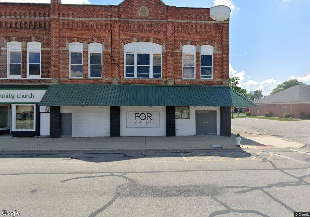
139 W Main St Deshler, OH 43516
Studio
1
Bath
6,540
Sq Ft
10,019
Sq Ft Lot
About This Home
This home is located at 139 W Main St, Deshler, OH 43516. 139 W Main St is a home located in Henry County with nearby schools including Patrick Henry Middle School and Patrick Henry High School.
Ownership History
Date
Name
Owned For
Owner Type
Purchase Details
Closed on
Mar 15, 2018
Sold by
Scarbrough Real Estate Holding Company L
Bought by
Wave Commnity Church Inc
Home Financials for this Owner
Home Financials are based on the most recent Mortgage that was taken out on this home.
Original Mortgage
$50,500
Outstanding Balance
$36,309
Interest Rate
4.22%
Mortgage Type
Construction
Purchase Details
Closed on
Sep 25, 2015
Sold by
Dean & Caren Management Llc
Bought by
Scarbrough Real Estate Holding Company L
Create a Home Valuation Report for This Property
The Home Valuation Report is an in-depth analysis detailing your home's value as well as a comparison with similar homes in the area
Purchase History
| Date | Buyer | Sale Price | Title Company |
|---|---|---|---|
| Wave Commnity Church Inc | $30,000 | None Available | |
| Scarbrough Real Estate Holding Company L | $80,000 | Attorney |
Source: Public Records
Mortgage History
| Date | Status | Borrower | Loan Amount |
|---|---|---|---|
| Open | Wave Commnity Church Inc | $50,500 |
Source: Public Records
Tax History
| Year | Tax Paid | Tax Assessment Tax Assessment Total Assessment is a certain percentage of the fair market value that is determined by local assessors to be the total taxable value of land and additions on the property. | Land | Improvement |
|---|---|---|---|---|
| 2024 | $1,176 | $21,330 | $0 | $21,330 |
| 2023 | $1,205 | $21,330 | $0 | $21,330 |
| 2022 | $1,300 | $42,320 | $0 | $42,320 |
| 2021 | $591 | $9,610 | $0 | $9,610 |
| 2020 | $617 | $9,610 | $0 | $9,610 |
| 2019 | $606 | $9,610 | $0 | $9,610 |
| 2018 | $2,344 | $36,100 | $2,380 | $33,720 |
| 2017 | $2,219 | $36,100 | $2,380 | $33,720 |
| 2016 | $1,696 | $25,520 | $2,380 | $23,140 |
| 2015 | $1,663 | $25,520 | $2,380 | $23,140 |
| 2014 | $1,659 | $25,520 | $2,380 | $23,140 |
| 2013 | $1,659 | $25,520 | $2,380 | $23,140 |
Source: Public Records
Map
Nearby Homes
- 126 S Keyser Ave
- 219 W Maple St
- 425 W Elm St
- 407 S Stearns Ave
- 423 S Stearns Ave
- 429 N Park St
- 424 E Main St
- 524 N Keyser Ave
- 524 E Elm St
- 106 N Harvest Dr
- 1403 County Road D
- 117 Meadow Ln
- 115 Meadow Ln
- 113 N Meadow Ln
- 116 Meadow Ln
- 119 N Harvest St
- 112 N Harvest Dr
- 121 N Harvest St
- 118 N Harvest Dr
- 120 N Harvest Dr
Your Personal Tour Guide
Ask me questions while you tour the home.