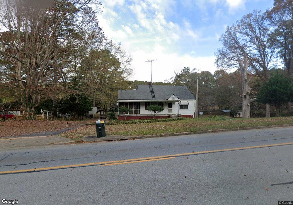
1390 E Broad St Greensboro, GA 30642
Greensboro AreaEstimated Value: $203,000 - $641,000
About This Home
This home is located at 1390 E Broad St, Greensboro, GA 30642 and is currently estimated at $358,255, approximately $229 per square foot. 1390 E Broad St is a home located in Greene County with nearby schools including Greene County High School.
Ownership History
We collect this data history from publicly available records. To have your information removed, we recommend requesting removal directly through your county’s website.
Purchase Details
Purchase Details
Purchase Details
Purchase Details
Purchase Details
Purchase Details
Purchase Details
Home Values in the Area
Average Home Value in this Area
Purchase History
We collect this data history from publicly available records. To have your information removed, we recommend requesting removal directly through your county’s website.
| Date | Buyer | Sale Price | Title Company |
|---|---|---|---|
| -- | -- | ||
| -- | -- | ||
| -- | -- | ||
| -- | -- | ||
| -- | -- | ||
| -- | -- | ||
| -- | -- |
Tax History
We collect this data history from publicly available records. To have your information removed, we recommend requesting removal directly through your county’s website.
| Year | Tax Paid | Tax Assessment Tax Assessment Total Assessment is a certain percentage of the fair market value that is determined by local assessors to be the total taxable value of land and additions on the property. | Land | Improvement |
|---|---|---|---|---|
| 2025 | $852 | $58,520 | $13,600 | $44,920 |
| 2024 | $845 | $54,120 | $13,600 | $40,520 |
| 2023 | $283 | $56,200 | $13,600 | $42,600 |
| 2022 | $509 | $47,388 | $8,000 | $39,388 |
| 2021 | $519 | $43,828 | $8,000 | $35,828 |
| 2020 | $527 | $28,040 | $4,400 | $23,640 |
| 2019 | $544 | $28,040 | $4,400 | $23,640 |
| 2018 | $522 | $28,040 | $4,400 | $23,640 |
| 2017 | $693 | $28,059 | $4,420 | $23,639 |
| 2016 | $716 | $29,262 | $4,420 | $24,842 |
| 2015 | $680 | $29,262 | $4,420 | $24,842 |
| 2014 | $688 | $28,898 | $4,420 | $24,478 |
Map
- 0 Railroad St Unit 10578007
- 0 Railroad St Unit 218854
- 0 Railroad St Unit 98211680
- 306 E Greene St
- 301 N East St
- 1020 Horton Dr
- 102 Mulberry St
- 1060 Twin Pines Cir
- 108 Gordon St
- 310 S Walnut St
- 0 Georgia 15 Unit 10722172
- 504 Martin Luther King Junior Dr
- 103 E Elm St
- 408 S Main St
- 403 S Main St
- 407 S Main St
- 207 N Laurel Ave
- 318 W South St
- 0 Old Union Point Rd Unit 10771736
- 109 Reynolds Dr
- 1380 E Broad St
- 1420 E Broad St
- 1371 E Broad St
- 1430 E Broad St
- 1360 E Broad St
- 1361 E Broad St
- 102 Pinecrest St
- 1080 Phelps Rd
- 1441 E Broad St
- 1450 E Broad St
- 102 Pinecrest Dr
- 104 Pinecrest St
- 1461 E Broad St
- 1021 Thomas St
- 32.43 AC Us Highway 278 Unit 32.43 AC
- 5881 Us Highway 278
- E E Broad St Unit 10, 11
- E E Broad St
- 1481 E Broad St
- 1090 Phelps Rd
Ask me questions while you tour the home.