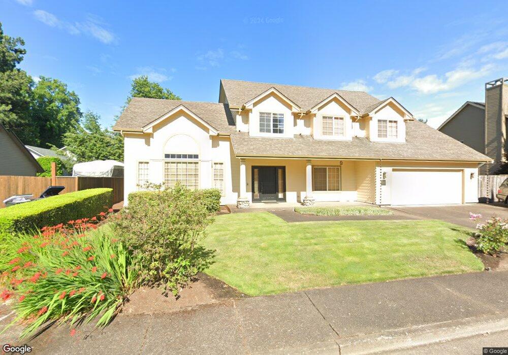
1391 Bogart Ln Eugene, OR 97401
Harlow NeighborhoodEstimated Value: $598,389 - $673,000
3
Beds
2
Baths
2,028
Sq Ft
$316/Sq Ft
Est. Value
About This Home
This home is located at 1391 Bogart Ln, Eugene, OR 97401 and is currently estimated at $640,097, approximately $315 per square foot. 1391 Bogart Ln is a home located in Lane County with nearby schools including Holt Elementary School, Monroe Middle School, and Sheldon High School.
Ownership History
Date
Name
Owned For
Owner Type
Purchase Details
Closed on
Aug 26, 2005
Sold by
Brandt Shawn M and Brandt Kathleen
Bought by
Mcnamara Andrew M and Mcnamara Tami S
Current Estimated Value
Home Financials for this Owner
Home Financials are based on the most recent Mortgage that was taken out on this home.
Original Mortgage
$215,000
Outstanding Balance
$110,658
Interest Rate
5.64%
Mortgage Type
Fannie Mae Freddie Mac
Estimated Equity
$529,439
Purchase Details
Closed on
Apr 19, 2001
Sold by
Elizabeth Brody Susan and Lloyd Johnson Allen
Bought by
Brandt Shawn M and Brandt Kathleen
Home Financials for this Owner
Home Financials are based on the most recent Mortgage that was taken out on this home.
Original Mortgage
$172,000
Interest Rate
6.98%
Create a Home Valuation Report for This Property
The Home Valuation Report is an in-depth analysis detailing your home's value as well as a comparison with similar homes in the area
Home Values in the Area
Average Home Value in this Area
Purchase History
| Date | Buyer | Sale Price | Title Company |
|---|---|---|---|
| Mcnamara Andrew M | $320,000 | Cascade Title Co | |
| Brandt Shawn M | $215,000 | Western Pioneer Title Co |
Source: Public Records
Mortgage History
| Date | Status | Borrower | Loan Amount |
|---|---|---|---|
| Open | Mcnamara Andrew M | $215,000 | |
| Previous Owner | Brandt Shawn M | $172,000 |
Source: Public Records
Tax History
| Year | Tax Paid | Tax Assessment Tax Assessment Total Assessment is a certain percentage of the fair market value that is determined by local assessors to be the total taxable value of land and additions on the property. | Land | Improvement |
|---|---|---|---|---|
| 2025 | $7,096 | $364,192 | -- | -- |
| 2024 | $7,008 | $353,585 | -- | -- |
| 2023 | $7,008 | $343,287 | $0 | $0 |
| 2022 | $6,565 | $333,289 | $0 | $0 |
| 2021 | $6,166 | $323,582 | $0 | $0 |
| 2020 | $6,114 | $314,158 | $0 | $0 |
| 2019 | $5,872 | $305,008 | $0 | $0 |
| 2018 | $5,481 | $287,500 | $0 | $0 |
| 2017 | $5,159 | $287,500 | $0 | $0 |
| 2016 | $4,918 | $279,126 | $0 | $0 |
| 2015 | $4,750 | $270,996 | $0 | $0 |
| 2014 | $4,648 | $263,103 | $0 | $0 |
Source: Public Records
Map
Nearby Homes
- 1491 Victorian Way
- 0 Sprig Ln Unit Lot 3
- 0 Sprig Ln Unit Lot 3 766109892
- 1564 Regency Dr
- 2956 Willakenzie Rd
- 1630 Ridgley Blvd
- 1271 Arcadia Dr
- 825 Waverly St
- 3700 Babcock Ln Unit 106
- 950 Coburg Rd
- 1090 Corydon St
- 2872 Suffolk Ct
- 2580 Elysium Ave
- 2746 Harlow Rd
- 2577 Elysium Ave
- 349 van Duyn St
- 2345 Pioneer Pike
- 2495 Jeppesen Acres Rd
- 2994 Dapple Way
- 600 Cherry Dr Unit 8
- 1389 Bogart Ln
- 1388 Barrington Ave
- 1421 Bogart Ln
- 1385 Bogart Ln
- 1368 Barrington Ave
- 1410 Barrington Ave
- 1399 Bogart Ln
- 1409 Bogart Ln
- 0 Barrington Ave Unit 19009921
- 0 Barrington Ave Unit 8104599
- 0 Barrington Ave Unit 9 9039204
- 0 Barrington Ave Unit 1-4
- 0 Barrington Ave Unit 5-9
- 1381 Bogart Ln
- 1433 Bogart Ln
- 1375 Bogart Ln
- 1436 Barrington Ave
- 1346 Barrington Ave
- 1445 Bogart Ln
- 1387 Barrington Ave
Your Personal Tour Guide
Ask me questions while you tour the home.