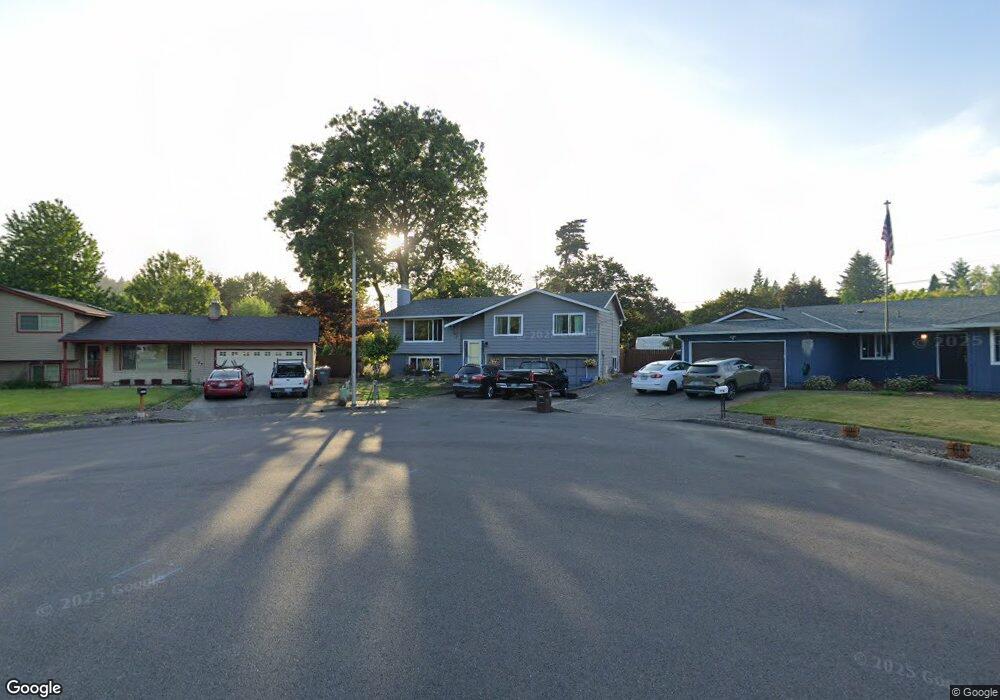
1391 SE 11th St Gresham, OR 97080
Historic Southeast NeighborhoodEstimated Value: $432,000 - $514,599
3
Beds
3
Baths
1,890
Sq Ft
$259/Sq Ft
Est. Value
About This Home
This home is located at 1391 SE 11th St, Gresham, OR 97080 and is currently estimated at $489,150, approximately $258 per square foot. 1391 SE 11th St is a home located in Multnomah County with nearby schools including East Gresham Elementary School, Dexter McCarty Middle School, and Gresham High School.
Ownership History
Date
Name
Owned For
Owner Type
Purchase Details
Closed on
Oct 20, 2009
Sold by
White Kenneth S
Bought by
Smith Jeffrey F
Current Estimated Value
Home Financials for this Owner
Home Financials are based on the most recent Mortgage that was taken out on this home.
Original Mortgage
$206,900
Outstanding Balance
$134,346
Interest Rate
5.05%
Mortgage Type
New Conventional
Estimated Equity
$354,804
Create a Home Valuation Report for This Property
The Home Valuation Report is an in-depth analysis detailing your home's value as well as a comparison with similar homes in the area
Home Values in the Area
Average Home Value in this Area
Purchase History
| Date | Buyer | Sale Price | Title Company |
|---|---|---|---|
| Smith Jeffrey F | $229,900 | Fidelity Natl Title Co Of Or |
Source: Public Records
Mortgage History
| Date | Status | Borrower | Loan Amount |
|---|---|---|---|
| Open | Smith Jeffrey F | $206,900 |
Source: Public Records
Tax History
| Year | Tax Paid | Tax Assessment Tax Assessment Total Assessment is a certain percentage of the fair market value that is determined by local assessors to be the total taxable value of land and additions on the property. | Land | Improvement |
|---|---|---|---|---|
| 2025 | $5,307 | $260,800 | -- | -- |
| 2024 | $5,080 | $253,210 | -- | -- |
| 2023 | $4,629 | $245,840 | $0 | $0 |
| 2022 | $4,499 | $238,680 | $0 | $0 |
| 2021 | $4,386 | $231,730 | $0 | $0 |
| 2020 | $4,127 | $224,990 | $0 | $0 |
| 2019 | $4,143 | $218,440 | $0 | $0 |
| 2018 | $3,832 | $212,080 | $0 | $0 |
| 2017 | $3,676 | $205,910 | $0 | $0 |
| 2016 | $3,242 | $199,920 | $0 | $0 |
Source: Public Records
Map
Nearby Homes
- 1120 SE Spruce Ct
- 1949 SE Palmquist Rd Unit 51
- 1949 SE Palmquist Rd Unit 91
- 1949 SE Palmquist Rd Unit 121
- 1326 SE Linden Ct
- 511 SE 15th St
- 2137 SE 15th Aly
- 450 SE Hogan Rd
- 1700 SE 4th St
- 1918 SE Regner Rd
- 732 SE Rene Ave
- 2024 SE Spruce Ave
- 2358 SE Palmquist Rd
- 2240 SE 16th St
- 2125 SE 18th Aly
- 1780 SE 2nd Place
- 1414 SE Beech Place
- 2392 SE 16th Aly
- 329 SE Linden Ct
- 2243 SE 19th St
- 1405 SE 11th St
- 1129 SE Maple Place
- 1066 SE Liberty Ave
- 1350 SE 10th St
- 1080 SE Liberty Ave
- 1390 SE 10th St
- 1010 SE Liberty Ave
- 1425 SE 11th St
- 1159 SE Maple Place
- 1134 SE Liberty Ave
- 1480 SE 10th St
- 1465 SE 11th St
- 1162 SE Liberty Ave
- 1488 SE 10th St
- 1095 SE Liberty Ave
- 1150 SE Maple Place
- 1055 SE Liberty Ave
- 1345 SE 10th St
- 1375 SE 10th St
- 1025 SE Liberty Ave
Your Personal Tour Guide
Ask me questions while you tour the home.