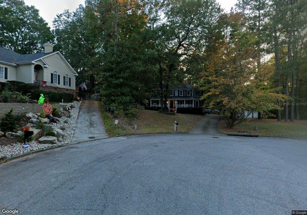
14 Bolin Ct North Augusta, SC 29841
Estimated Value: $307,643 - $332,000
4
Beds
3
Baths
2,000
Sq Ft
$159/Sq Ft
Est. Value
About This Home
This home is located at 14 Bolin Ct, North Augusta, SC 29841 and is currently estimated at $318,911, approximately $159 per square foot. 14 Bolin Ct is a home located in Aiken County with nearby schools including Hammond Hill Elementary School, Paul Knox Middle School, and North Augusta High School.
Ownership History
Date
Name
Owned For
Owner Type
Purchase Details
Closed on
Oct 26, 2010
Sold by
Stein Christina
Bought by
Forrest Whitney E
Current Estimated Value
Home Financials for this Owner
Home Financials are based on the most recent Mortgage that was taken out on this home.
Original Mortgage
$170,732
Outstanding Balance
$111,203
Interest Rate
4.25%
Mortgage Type
FHA
Estimated Equity
$207,708
Purchase Details
Closed on
Oct 25, 2010
Sold by
Turner Jeffrey Allen and Stein Christina
Bought by
Stein Christina
Home Financials for this Owner
Home Financials are based on the most recent Mortgage that was taken out on this home.
Original Mortgage
$170,732
Outstanding Balance
$111,203
Interest Rate
4.25%
Mortgage Type
FHA
Estimated Equity
$207,708
Purchase Details
Closed on
May 2, 2006
Sold by
Lowe Thomas B and Lowe Kimberly A
Bought by
Turner Jeffrey Allen and Stein Christina
Create a Home Valuation Report for This Property
The Home Valuation Report is an in-depth analysis detailing your home's value as well as a comparison with similar homes in the area
Purchase History
We collect this data history from publicly available records. To have your information removed, we recommend requesting removal directly through your county’s website.
| Date | Buyer | Sale Price | Title Company |
|---|---|---|---|
| Forrest Whitney E | $177,000 | -- | |
| Stein Christina | -- | -- | |
| Turner Jeffrey Allen | $175,000 | None Available |
Source: Public Records
Mortgage History
We collect this data history from publicly available records. To have your information removed, we recommend requesting removal directly through your county’s website.
| Date | Status | Borrower | Loan Amount |
|---|---|---|---|
| Open | Forrest Whitney E | $170,732 |
Source: Public Records
Tax History
| Year | Tax Paid | Tax Assessment Tax Assessment Total Assessment is a certain percentage of the fair market value that is determined by local assessors to be the total taxable value of land and additions on the property. | Land | Improvement |
|---|---|---|---|---|
| 2025 | $821 | $8,200 | -- | -- |
| 2023 | $823 | $8,210 | $1,680 | $163,040 |
| 2022 | $800 | $8,200 | $0 | $0 |
| 2021 | $802 | $8,200 | $0 | $0 |
| 2020 | $708 | $7,140 | $0 | $0 |
| 2019 | $708 | $7,140 | $0 | $0 |
| 2018 | $710 | $7,140 | $1,200 | $5,940 |
| 2017 | $674 | $0 | $0 | $0 |
| 2016 | $675 | $0 | $0 | $0 |
| 2015 | $695 | $0 | $0 | $0 |
| 2014 | $696 | $0 | $0 | $0 |
| 2013 | -- | $0 | $0 | $0 |
Source: Public Records
Map
Nearby Homes
- 1932 Bolin Rd
- 1808 Robinson Dr
- 1 Leyland Place
- 2 Leyland Place
- 1427 Brookgreen Dr
- 1424 Socastee Dr
- 1904 Robin Rd
- 710 W Martintown Rd
- 1815 Mountside Dr
- 1420 Waccamaw Dr
- 793 Big Pine Rd
- 1831 Courtney Dr
- 1826 Courtney Dr
- 1906 Bobolink Ave
- 1908 Bobolink Ave
- 639 Caroline Ct Unit 7c
- 633 Caroline Ct Unit 7b
- 623 Caroline Ct Unit 8d
- 617 Caroline Ct Unit 8c
- 613 Caroline Ct Unit 8b
Your Personal Tour Guide
Ask me questions while you tour the home.