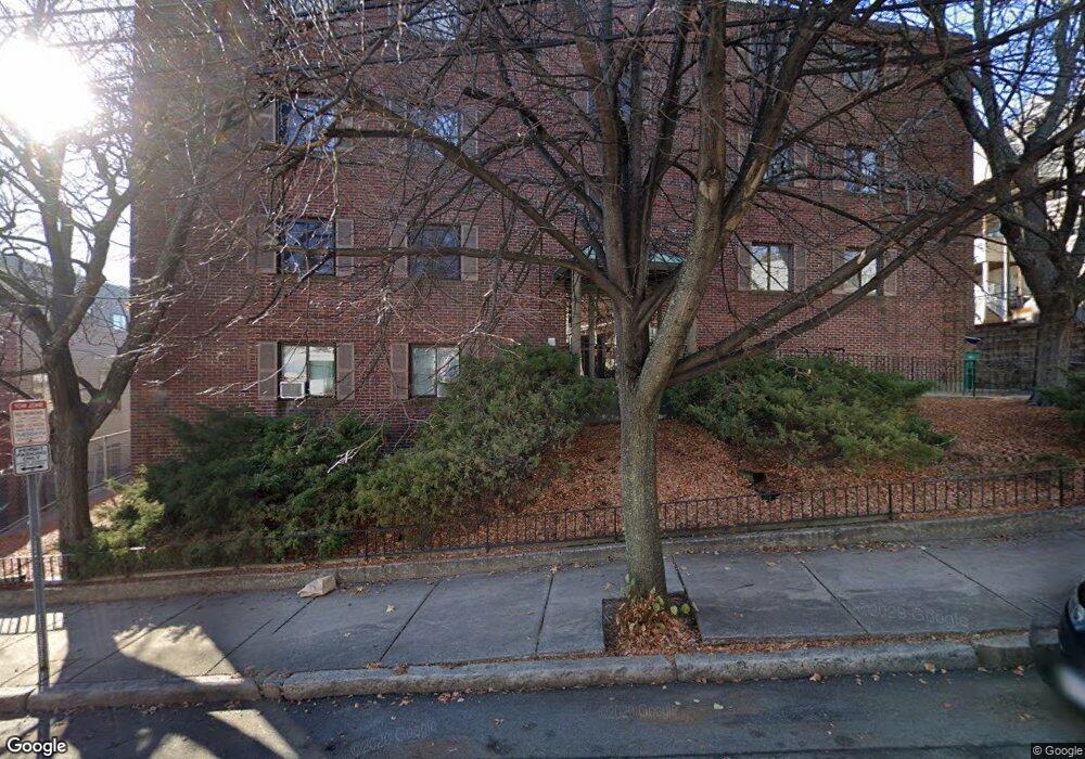
14 Boston St Unit 33 Somerville, MA 02143
Prospect Hill NeighborhoodEstimated Value: $622,000 - $744,000
2
Beds
1
Bath
945
Sq Ft
$716/Sq Ft
Est. Value
About This Home
This home is located at 14 Boston St Unit 33, Somerville, MA 02143 and is currently estimated at $677,047, approximately $716 per square foot. 14 Boston St Unit 33 is a home located in Middlesex County with nearby schools including Somerville High School, Prospect Hill Academy Upper Elementary Campus, and Bright Future Educare Center.
Ownership History
Date
Name
Owned For
Owner Type
Purchase Details
Closed on
Nov 15, 2019
Sold by
Cornelia Robart 2008 Ret
Bought by
Hurley Melinda
Current Estimated Value
Home Financials for this Owner
Home Financials are based on the most recent Mortgage that was taken out on this home.
Original Mortgage
$350,000
Outstanding Balance
$308,216
Interest Rate
3.65%
Mortgage Type
New Conventional
Estimated Equity
$368,831
Purchase Details
Closed on
Sep 2, 2008
Sold by
Robart Cornelia
Bought by
Cornelia Robart Rt and Robart Cornelia
Create a Home Valuation Report for This Property
The Home Valuation Report is an in-depth analysis detailing your home's value as well as a comparison with similar homes in the area
Home Values in the Area
Average Home Value in this Area
Purchase History
| Date | Buyer | Sale Price | Title Company |
|---|---|---|---|
| Hurley Melinda | $500,000 | -- | |
| Cornelia Robart Rt | -- | -- |
Source: Public Records
Mortgage History
| Date | Status | Borrower | Loan Amount |
|---|---|---|---|
| Open | Hurley Melinda | $350,000 |
Source: Public Records
Tax History
| Year | Tax Paid | Tax Assessment Tax Assessment Total Assessment is a certain percentage of the fair market value that is determined by local assessors to be the total taxable value of land and additions on the property. | Land | Improvement |
|---|---|---|---|---|
| 2025 | $5,489 | $503,100 | $0 | $503,100 |
| 2024 | $5,410 | $514,300 | $0 | $514,300 |
| 2023 | $5,272 | $509,900 | $0 | $509,900 |
| 2022 | $4,957 | $486,900 | $0 | $486,900 |
| 2021 | $4,805 | $471,500 | $0 | $471,500 |
| 2020 | $4,200 | $416,300 | $0 | $416,300 |
| 2019 | $4,114 | $382,300 | $0 | $382,300 |
| 2018 | $3,654 | $323,100 | $0 | $323,100 |
| 2017 | $3,434 | $294,300 | $0 | $294,300 |
| 2016 | $3,517 | $280,700 | $0 | $280,700 |
| 2015 | $3,429 | $271,900 | $0 | $271,900 |
Source: Public Records
Map
Nearby Homes
- 192 Washington St Unit C
- 25 Alston St
- 16 Alston St Unit 16
- 20 Alston St
- 142 Cross St
- 3 Linden St
- 16 Hamlet St
- 8 Everett St
- 9 Sanborn Ave
- 14 Hamlet St Unit C
- 14 Hamlet St Unit B
- 10 Sanborn Ave
- 129 Glen St Unit B
- 15 Walnut St
- 76 Franklin St
- 29 Gilman St
- 300 Somerville Ave
- 34 Franklin Ave
- 74 Gilman St Unit 1
- 67 Prospect St
- 14 Boston St Unit 34
- 14 Boston St Unit 32
- 14 Boston St Unit 31
- 14 Boston St Unit 3
- 14 Boston St Unit 24
- 14 Boston St Unit 23
- 14 Boston St Unit 22
- 14 Boston St Unit 21
- 14 Boston St Unit 2
- 14 Boston St
- 14 Boston St Unit 13
- 14 Boston St Unit 12
- 14 Boston St Unit 11
- 14 Boston St Unit 1
- 14 Boston St Unit 3D (aka 24)
- 14 Boston St Unit 4d
- 14 Boston St Unit 1B
- 14 Boston St Unit 15
- 14 Boston St Unit 14
- 14 Boston St Unit 4-B
Your Personal Tour Guide
Ask me questions while you tour the home.