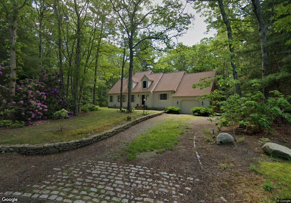
14 Bottom Ln Sandwich, MA 02563
Estimated Value: $724,000 - $1,131,000
4
Beds
3
Baths
2,701
Sq Ft
$327/Sq Ft
Est. Value
About This Home
This home is located at 14 Bottom Ln, Sandwich, MA 02563 and is currently estimated at $882,940, approximately $326 per square foot. 14 Bottom Ln is a home located in Barnstable County with nearby schools including Sandwich Middle High School, Sandwich Montessori School, and Riverview School.
Ownership History
Date
Name
Owned For
Owner Type
Purchase Details
Closed on
Mar 30, 1998
Sold by
Household Finc Corp 2
Bought by
Koczera Mary
Current Estimated Value
Home Financials for this Owner
Home Financials are based on the most recent Mortgage that was taken out on this home.
Original Mortgage
$181,800
Outstanding Balance
$26,917
Interest Rate
6.96%
Mortgage Type
Purchase Money Mortgage
Estimated Equity
$856,023
Purchase Details
Closed on
Dec 11, 1997
Sold by
Antonowicz Jane and Antonowicz Fhlmc
Bought by
Household Fin Corp 2
Create a Home Valuation Report for This Property
The Home Valuation Report is an in-depth analysis detailing your home's value as well as a comparison with similar homes in the area
Purchase History
| Date | Buyer | Sale Price | Title Company |
|---|---|---|---|
| Koczera Mary | $202,000 | -- | |
| Koczera Mary | $202,000 | -- | |
| Household Fin Corp 2 | $155,000 | -- |
Source: Public Records
Mortgage History
| Date | Status | Borrower | Loan Amount |
|---|---|---|---|
| Open | Koczera Mary | $181,800 | |
| Closed | Koczera Mary | $181,800 |
Source: Public Records
Tax History
| Year | Tax Paid | Tax Assessment Tax Assessment Total Assessment is a certain percentage of the fair market value that is determined by local assessors to be the total taxable value of land and additions on the property. | Land | Improvement |
|---|---|---|---|---|
| 2025 | $6,656 | $629,700 | $142,600 | $487,100 |
| 2024 | $6,775 | $627,300 | $144,400 | $482,900 |
| 2023 | $6,557 | $570,200 | $131,200 | $439,000 |
| 2022 | $6,804 | $517,000 | $126,800 | $390,200 |
| 2021 | $2,653 | $469,000 | $121,900 | $347,100 |
| 2020 | $2,663 | $449,000 | $119,800 | $329,200 |
| 2019 | $3,946 | $435,400 | $127,100 | $308,300 |
| 2018 | $2,617 | $409,600 | $122,700 | $286,900 |
| 2017 | $3,611 | $386,600 | $118,800 | $267,800 |
| 2016 | $5,484 | $379,000 | $117,500 | $261,500 |
| 2015 | $5,609 | $378,500 | $121,800 | $256,700 |
Source: Public Records
Map
Nearby Homes
- 6 George Gallant Rd
- 82 Old Fields Rd
- 15 Maxwell Ln
- 7 Hunter's Trail
- 7 Maxwell Ln
- 10 Hunters Trail
- 10 Hunter's Trail
- 16 Newtown Rd
- 159 Great Hill Rd
- 1 Katies Way
- 10 Wintergreen Ln
- 47 Stoney Pond Cir
- 2 Open Space Dr
- 303 Turtleback Rd
- 53 Chase Rd
- 17 Kettle Drum Ln
- 46 Service Rd
- 2 Maple Swamp Rd
- 2 Maple Swamp Rd
- 42 Pond View Dr
Your Personal Tour Guide
Ask me questions while you tour the home.