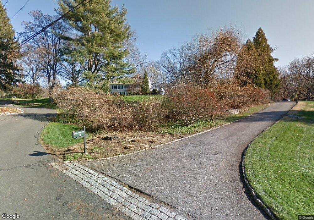
14 Brookside Dr Westport, CT 06880
Staples NeighborhoodEstimated Value: $2,148,000 - $3,882,000
About This Home
This home is located at 14 Brookside Dr, Westport, CT 06880 and is currently estimated at $3,116,457, approximately $599 per square foot. 14 Brookside Dr is a home located in Fairfield County with nearby schools including Saugatuck Elementary School, Bedford Middle School, and Staples High School.
Ownership History
We collect this data history from publicly available records. To have your information removed, we recommend requesting removal directly through your county’s website.
Purchase Details
Home Financials for this Owner
Home Financials are based on the most recent Mortgage that was taken out on this home.Purchase Details
Purchase Details
Home Values in the Area
Average Home Value in this Area
Purchase History
We collect this data history from publicly available records. To have your information removed, we recommend requesting removal directly through your county’s website.
| Date | Buyer | Sale Price | Title Company |
|---|---|---|---|
| -- | -- | ||
| -- | -- | ||
| -- | -- | ||
| $802,500 | -- | ||
| $802,500 | -- | ||
| $750,000 | -- |
Mortgage History
We collect this data history from publicly available records. To have your information removed, we recommend requesting removal directly through your county’s website.
| Date | Status | Borrower | Loan Amount |
|---|---|---|---|
| Open | $1,406,250 | ||
| Closed | $1,406,250 |
Tax History
We collect this data history from publicly available records. To have your information removed, we recommend requesting removal directly through your county’s website.
| Year | Tax Paid | Tax Assessment Tax Assessment Total Assessment is a certain percentage of the fair market value that is determined by local assessors to be the total taxable value of land and additions on the property. | Land | Improvement |
|---|---|---|---|---|
| 2025 | $25,866 | $1,371,500 | $474,600 | $896,900 |
| 2024 | $25,537 | $1,371,500 | $474,600 | $896,900 |
| 2023 | $25,167 | $1,371,500 | $474,600 | $896,900 |
| 2022 | $24,783 | $1,371,500 | $474,600 | $896,900 |
| 2021 | $7,020 | $1,371,500 | $474,600 | $896,900 |
| 2020 | $23,130 | $1,468,800 | $495,600 | $973,200 |
| 2019 | $24,764 | $1,468,800 | $495,600 | $973,200 |
| 2018 | $24,764 | $1,468,800 | $495,600 | $973,200 |
| 2017 | $6,607 | $1,468,800 | $495,600 | $973,200 |
| 2016 | $24,764 | $1,468,800 | $495,600 | $973,200 |
| 2015 | $23,783 | $1,314,700 | $457,100 | $857,600 |
| 2014 | $23,586 | $1,314,700 | $457,100 | $857,600 |
Map
- 80 Compo Rd N
- 72 Compo Rd N
- 143 Roseville Rd
- 140 Roseville Rd
- 5 Lehn Farm Rd
- 107 Compo Rd N
- 21 Dover Rd
- 2 Ledgemoor Ln
- 22 Evergreen Ave
- 6 Janson Dr
- 15 Gorham Ave
- 24 Washington Ave
- 32 Berndale Dr
- 8 Washington Ave
- 30 Saint Johns Place
- 2 Windy Hill Rd
- 310 Main St
- 32 Whitney Glen Unit 32
- 32 Webb Rd
- 4 Woods Grove Rd
- 19 Deerwood Ln
- 12 Brookside Dr
- 15 Brookside Dr
- 17 Deerwood Ln
- 11 Brookside Dr
- 21 Deerwood Ln
- 19 Darbrook Rd
- 15 Deerwood Rd
- 10 Brookside Dr
- 9 Lost Lodge Rd
- 9 Brookside Dr
- 10 Northgate
- 11 Deerwood Rd
- 10 Deerwood Rd
- 8 Brookside Dr
- 7 Country Ln
- 6 Lost Lodge Rd
- 24 Darbrook Rd
- 151 Roseville Rd
- 9 Deerwood Rd
Ask me questions while you tour the home.