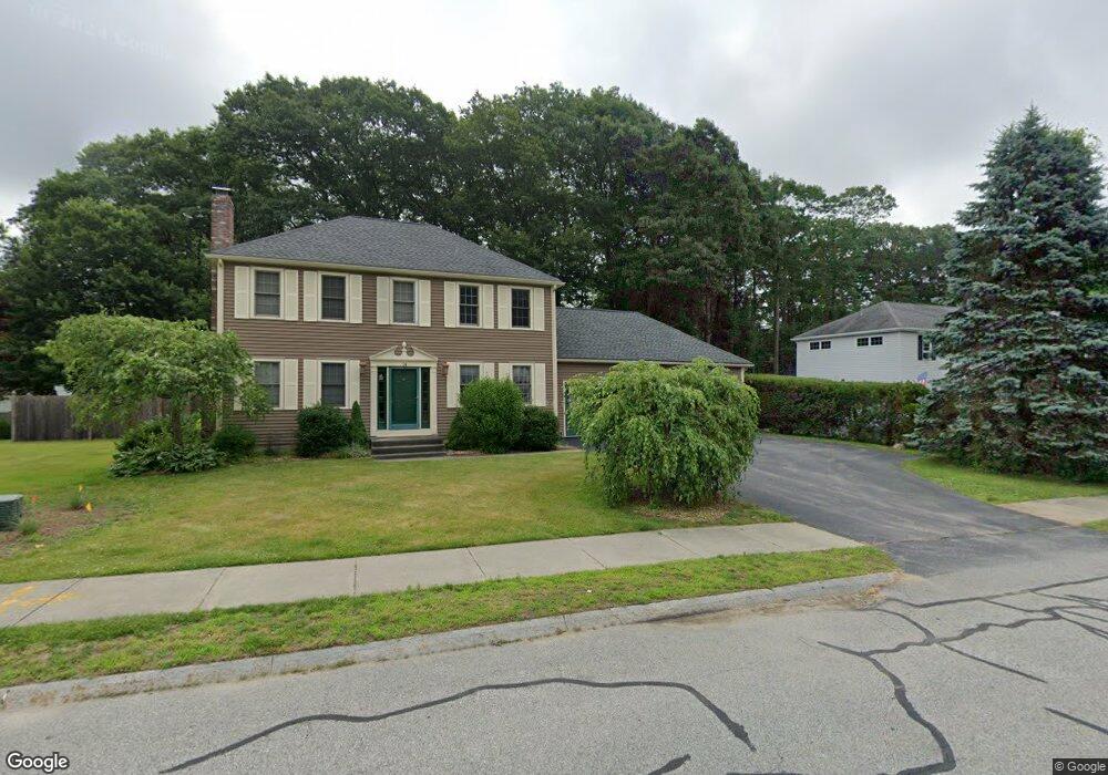
14 Danielle Dr Millbury, MA 01527
Estimated Value: $604,297 - $658,000
3
Beds
2
Baths
1,792
Sq Ft
$352/Sq Ft
Est. Value
About This Home
This home is located at 14 Danielle Dr, Millbury, MA 01527 and is currently estimated at $631,074, approximately $352 per square foot. 14 Danielle Dr is a home located in Worcester County with nearby schools including Elmwood Street Elementary School, Raymond E. Shaw Elementary School, and Millbury Junior/Senior High School.
Ownership History
Date
Name
Owned For
Owner Type
Purchase Details
Closed on
Sep 8, 1993
Sold by
Quality Home Bldrs
Bought by
Mcatee David C and Mcatee Kathleen
Current Estimated Value
Home Financials for this Owner
Home Financials are based on the most recent Mortgage that was taken out on this home.
Original Mortgage
$140,800
Interest Rate
7.21%
Mortgage Type
Purchase Money Mortgage
Create a Home Valuation Report for This Property
The Home Valuation Report is an in-depth analysis detailing your home's value as well as a comparison with similar homes in the area
Home Values in the Area
Average Home Value in this Area
Purchase History
| Date | Buyer | Sale Price | Title Company |
|---|---|---|---|
| Mcatee David C | $158,325 | -- | |
| Mcatee David C | $158,325 | -- |
Source: Public Records
Mortgage History
| Date | Status | Borrower | Loan Amount |
|---|---|---|---|
| Open | Mcatee David C | $84,000 | |
| Closed | Mcatee David C | $50,000 | |
| Open | Mcatee David C | $134,500 | |
| Closed | Mcatee David C | $140,800 |
Source: Public Records
Tax History
| Year | Tax Paid | Tax Assessment Tax Assessment Total Assessment is a certain percentage of the fair market value that is determined by local assessors to be the total taxable value of land and additions on the property. | Land | Improvement |
|---|---|---|---|---|
| 2025 | $7,193 | $537,200 | $139,000 | $398,200 |
| 2024 | $6,600 | $498,900 | $128,700 | $370,200 |
| 2023 | $6,117 | $423,300 | $90,400 | $332,900 |
| 2022 | $5,426 | $361,700 | $86,700 | $275,000 |
| 2021 | $5,360 | $347,400 | $86,700 | $260,700 |
| 2020 | $9,736 | $342,700 | $86,700 | $256,000 |
| 2019 | $5,061 | $319,300 | $75,500 | $243,800 |
| 2018 | $0 | $320,500 | $88,600 | $231,900 |
| 2017 | $4,909 | $298,800 | $88,600 | $210,200 |
| 2016 | $4,790 | $291,000 | $88,600 | $202,400 |
| 2015 | $4,726 | $287,100 | $94,200 | $192,900 |
| 2014 | $4,361 | $255,000 | $90,700 | $164,300 |
Source: Public Records
Map
Nearby Homes
- 46 Lexington Rd
- Lot 1 Cooper Rd
- 8 Autumn Gate Cir
- 2 Riverlin Pkwy
- 28 Cortland Way
- 17 Lincoln Ave
- 18 Lincoln Ave
- 7 Canal St
- 37-39 Main St
- 26 Leslie Ln
- 2 Wilson Rd Unit B
- 2 Wilson Rd Unit A
- 75 Main St
- 5 Ann Dr Unit 5
- 75 Potter Hill Rd
- 8 Sycamore Cir
- 5 Lincoln Ln Unit 5
- 9 Danielle Dr
- 2 Jessica j Dr
- 4 John Dr
Your Personal Tour Guide
Ask me questions while you tour the home.