Estimated Value: $972,000 - $1,157,997
About This Home
This home is located at 14 Deacon Benham Rd, Stow, MA 01775 and is currently estimated at $1,060,499, approximately $341 per square foot. 14 Deacon Benham Rd is a home located in Middlesex County with nearby schools including Center School, Hale Middle School, and Nashoba Regional High School.
Ownership History
We collect this data history from publicly available records. To have your information removed, we recommend requesting removal directly through your county’s website.
Purchase Details
Home Values in the Area
Average Home Value in this Area
Purchase History
We collect this data history from publicly available records. To have your information removed, we recommend requesting removal directly through your county’s website.
| Date | Buyer | Sale Price | Title Company |
|---|---|---|---|
| $200,000 | -- |
Mortgage History
We collect this data history from publicly available records. To have your information removed, we recommend requesting removal directly through your county’s website.
| Date | Status | Borrower | Loan Amount |
|---|---|---|---|
| Closed | $45,000 |
Tax History
We collect this data history from publicly available records. To have your information removed, we recommend requesting removal directly through your county’s website.
| Year | Tax Paid | Tax Assessment Tax Assessment Total Assessment is a certain percentage of the fair market value that is determined by local assessors to be the total taxable value of land and additions on the property. | Land | Improvement |
|---|---|---|---|---|
| 2025 | $16,159 | $927,600 | $448,100 | $479,500 |
| 2024 | $14,898 | $877,900 | $417,300 | $460,600 |
| 2023 | $14,482 | $798,800 | $386,600 | $412,200 |
| 2022 | $13,559 | $693,200 | $335,800 | $357,400 |
| 2021 | $13,315 | $666,400 | $335,800 | $330,600 |
| 2020 | $13,770 | $668,100 | $316,500 | $351,600 |
| 2019 | $13,348 | $663,100 | $316,500 | $346,600 |
| 2018 | $13,509 | $643,900 | $316,500 | $327,400 |
| 2017 | $13,348 | $648,300 | $316,500 | $331,800 |
| 2016 | $12,791 | $640,200 | $298,700 | $341,500 |
| 2015 | $12,845 | $642,900 | $284,400 | $358,500 |
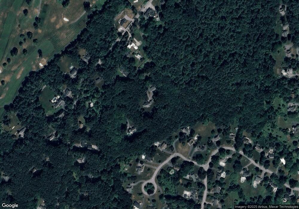
Map
- 28 Whitman St
- 29 Pine Ridge Rd
- 170 Hudson Rd
- 13 Edson St
- 60 Wheeler Rd
- 28 Mcintosh Dr Unit 22
- 28 Mcintosh Dr
- 66 Pine Point Rd
- 42 Wilkins St
- 15 Ministers Way
- 11 Crescent St
- 22 Kettell Plain Rd
- Lot 27C Pennie Ln
- Lt 27b1a b Pennie Ln
- Pennie Ln
- 120 Maple St
- 15 Devincent Dr
- 45 Hiley Brook Rd
- 4 Lanes End Rd
- 1 Glendale Rd
- 15 Deacon Benham Rd
- 8 Deacon Benham Rd
- 1 Catherine Cir
- 17 Nyra Rd
- 7 Catherine Cir
- 282 Gleasondale Rd
- 264 Gleasondale Rd
- 9 Nyra Rd
- 296 Gleasondale Rd
- 2 Catherine Cir
- 13 Catherine Cir
- 306 Gleasondale Rd
- 1 Nyra Rd
- 312 Gleasondale Rd
- 279 Gleasondale Rd
- 43 Robert Rd
- 8 Cross St
- 295 Gleasondale Rd
- 318 Gleasondale Rd
- 285 Gleasondale Rd
Ask me questions while you tour the home.