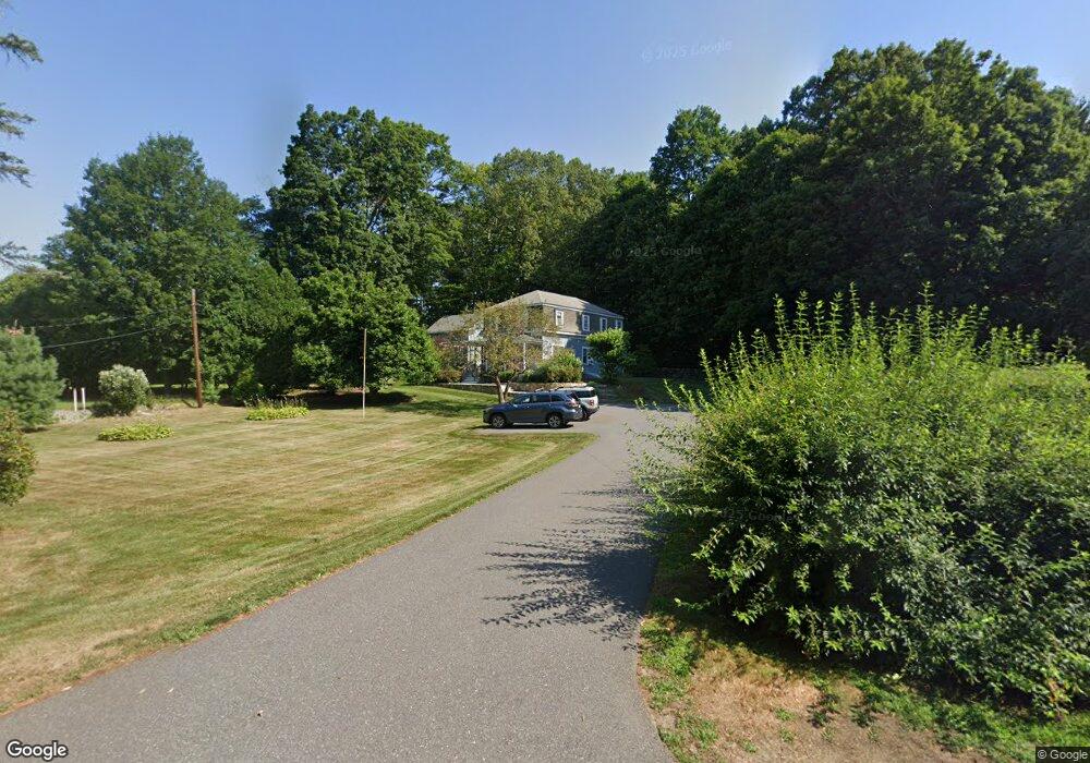
14 East St Lexington, MA 02420
Munroe Hill NeighborhoodEstimated Value: $1,041,000 - $1,884,000
About This Home
This home is located at 14 East St, Lexington, MA 02420 and is currently estimated at $1,611,929, approximately $809 per square foot. 14 East St is a home located in Middlesex County with nearby schools including Fiske Elementary School, William Diamond Middle School, and Lexington High School.
Ownership History
We collect this data history from publicly available records. To have your information removed, we recommend requesting removal directly through your county’s website.
Purchase Details
Purchase Details
Home Values in the Area
Average Home Value in this Area
Purchase History
We collect this data history from publicly available records. To have your information removed, we recommend requesting removal directly through your county’s website.
| Date | Buyer | Sale Price | Title Company |
|---|---|---|---|
| -- | None Available | ||
| $632,500 | -- |
Mortgage History
We collect this data history from publicly available records. To have your information removed, we recommend requesting removal directly through your county’s website.
| Date | Status | Borrower | Loan Amount |
|---|---|---|---|
| Previous Owner | $150,000 | ||
| Closed | $518,000 | ||
| Previous Owner | $250,000 | ||
| Previous Owner | $37,500 | ||
| Previous Owner | $562,500 | ||
| Closed | $250,000 | ||
| Previous Owner | $60,000 | ||
| Previous Owner | $322,700 |
Tax History
We collect this data history from publicly available records. To have your information removed, we recommend requesting removal directly through your county’s website.
| Year | Tax Paid | Tax Assessment Tax Assessment Total Assessment is a certain percentage of the fair market value that is determined by local assessors to be the total taxable value of land and additions on the property. | Land | Improvement |
|---|---|---|---|---|
| 2025 | $17,171 | $1,404,000 | $853,000 | $551,000 |
| 2024 | $16,415 | $1,340,000 | $812,000 | $528,000 |
| 2023 | $16,029 | $1,233,000 | $738,000 | $495,000 |
| 2022 | $15,387 | $1,115,000 | $671,000 | $444,000 |
| 2021 | $5,395 | $1,035,000 | $613,000 | $422,000 |
| 2020 | $14,373 | $1,023,000 | $613,000 | $410,000 |
| 2019 | $14,134 | $1,001,000 | $608,000 | $393,000 |
| 2018 | $0 | $933,000 | $556,000 | $377,000 |
| 2017 | $4,255 | $930,000 | $530,000 | $400,000 |
| 2016 | $11,490 | $787,000 | $505,000 | $282,000 |
| 2015 | $10,625 | $715,000 | $459,000 | $256,000 |
| 2014 | $10,500 | $677,000 | $417,000 | $260,000 |
Map
- 13 Seaborn Place
- 7 Burnham Rd
- 8 Porter Ln
- 197 Grant St
- 4 Westwood Rd
- 6 Juniper Place
- 72 Meriam St
- 4 Adams St
- 6 Oakmount Cir
- 23 Burroughs Rd
- 1 Maureen Rd
- 18 Victory Garden Way
- 55 Meriam St
- 11 Longfellow Rd
- 10 Victory Garden Way
- 590 Lowell St
- 38 Edgewood Rd Unit 2
- 38 Courtyard Place Unit 38
- 38 Courtyard Place
- 661 Lowell St Unit 16
Ask me questions while you tour the home.