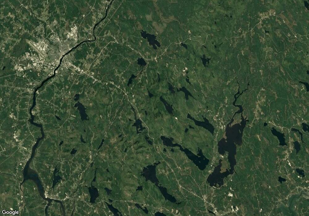
14 Enterprise Dr Dedham, ME 04429
Estimated Value: $345,000 - $672,000
Studio
--
Baths
--
Sq Ft
2.9
Acre Lot
About This Home
This home is located at 14 Enterprise Dr, Dedham, ME 04429 and is currently estimated at $437,546. 14 Enterprise Dr is a home located in Hancock with nearby schools including Dedham School.
Create a Home Valuation Report for This Property
The Home Valuation Report is an in-depth analysis detailing your home's value as well as a comparison with similar homes in the area
Tax History
We collect this data history from publicly available records. To have your information removed, we recommend requesting removal directly through your county’s website.
| Year | Tax Paid | Tax Assessment Tax Assessment Total Assessment is a certain percentage of the fair market value that is determined by local assessors to be the total taxable value of land and additions on the property. | Land | Improvement |
|---|---|---|---|---|
| 2025 | $4,331 | $268,200 | $46,300 | $221,900 |
| 2024 | $3,835 | $268,200 | $46,300 | $221,900 |
| 2023 | $3,507 | $206,300 | $35,600 | $170,700 |
| 2022 | $3,260 | $206,300 | $35,600 | $170,700 |
| 2021 | $3,301 | $206,300 | $35,600 | $170,700 |
| 2020 | $3,218 | $206,300 | $35,600 | $170,700 |
| 2019 | $3,002 | $206,300 | $35,600 | $170,700 |
| 2018 | $2,940 | $206,300 | $35,600 | $170,700 |
| 2017 | $1,910 | $206,300 | $35,600 | $170,700 |
| 2016 | $1,471 | $206,300 | $35,600 | $170,700 |
| 2014 | $2,646 | $171,850 | $33,400 | $138,450 |
| 2013 | $2,561 | $171,850 | $33,400 | $138,450 |
Source: Public Records
Map
Nearby Homes
- 28 Norwood Rd
- 46 Larkspur Rd
- 80 Pearl Point Rd
- 361 Peakes Hill Rd
- 44 Pine Trail
- 10 Bridle Path
- Lot#3 & 5 Millstream Heights
- 20 Brayall Ridge Dr
- 335 Upper Dedham Rd
- 39 Lakeview Ave
- 467 Upper Dedham Rd
- 11 High Hill Ct
- 325 Lower Dedham Rd
- 37 Lower Dedham Rd
- M7L34-2-1 Kidder Hill Rd
- 136 Holbrook Rd
- 14 Hillbilly Hill Rd
- 61 Kingsbury Rd
- 630 South Rd
- 12 Moose Tuchus Point
Your Personal Tour Guide
Ask me questions while you tour the home.