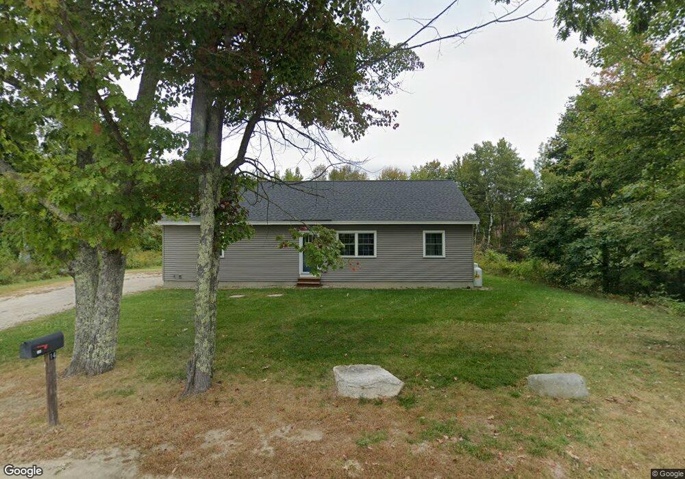
14 Gilmore Rd New Gloucester, ME 04260
Estimated Value: $368,000 - $447,000
About This Home
This home is located at 14 Gilmore Rd, New Gloucester, ME 04260 and is currently estimated at $414,874, approximately $319 per square foot. 14 Gilmore Rd is a home located in Cumberland County with nearby schools including Gray-New Gloucester High School and Spurwink School - Auburn.
Ownership History
We collect this data history from publicly available records. To have your information removed, we recommend requesting removal directly through your county’s website.
Purchase Details
Home Financials for this Owner
Home Financials are based on the most recent Mortgage that was taken out on this home.Purchase Details
Home Financials for this Owner
Home Financials are based on the most recent Mortgage that was taken out on this home.Home Values in the Area
Average Home Value in this Area
Purchase History
We collect this data history from publicly available records. To have your information removed, we recommend requesting removal directly through your county’s website.
| Date | Buyer | Sale Price | Title Company |
|---|---|---|---|
| $375,000 | -- | ||
| -- | -- |
Mortgage History
We collect this data history from publicly available records. To have your information removed, we recommend requesting removal directly through your county’s website.
| Date | Status | Borrower | Loan Amount |
|---|---|---|---|
| Open | $290,000 | ||
| Previous Owner | $190,000 |
Tax History
We collect this data history from publicly available records. To have your information removed, we recommend requesting removal directly through your county’s website.
| Year | Tax Paid | Tax Assessment Tax Assessment Total Assessment is a certain percentage of the fair market value that is determined by local assessors to be the total taxable value of land and additions on the property. | Land | Improvement |
|---|---|---|---|---|
| 2025 | $3,565 | $230,421 | $65,280 | $165,141 |
| 2024 | $3,431 | $230,421 | $65,280 | $165,141 |
| 2023 | $3,293 | $230,421 | $65,280 | $165,141 |
| 2022 | $3,180 | $230,421 | $65,280 | $165,141 |
| 2021 | $3,180 | $230,421 | $65,280 | $165,141 |
| 2020 | $3,145 | $230,421 | $65,280 | $165,141 |
| 2019 | $960 | $56,800 | $56,800 | $0 |
| 2018 | $897 | $56,800 | $56,800 | $0 |
| 2017 | $886 | $56,800 | $56,800 | $0 |
| 2016 | $992 | $67,500 | $56,800 | $10,700 |
| 2015 | $1,361 | $92,900 | $56,800 | $36,100 |
| 2014 | $1,347 | $92,900 | $56,800 | $36,100 |
| 2013 | $1,250 | $92,900 | $56,800 | $36,100 |
Map
- 21 Bald Hill Rd
- 22 Snow Hill Rd
- 10-56 C&E Bowdoin Way
- 146 Cobbs Bridge Rd
- 372 Intervale Rd
- 410 Intervale Rd
- 494 Snow Hill Rd
- 436 Lot A Foster Rd
- 436 Lot B Foster Rd
- 68 Bean Family Rd
- TBD Emmaus Rd
- 672 Danville Corner Rd
- 155 & 151 Gloucester Hill Rd
- 38 Harvest Hill Ln Unit 38
- 16 Harvest Hill Ln Unit 2
- 14 Harvest Hill Ln Unit 1
- 56 Simplicity Way
- 241 E Hardscrabble Rd
- 42 Birchwood Ln
- 14 Golden Way
- 1101 Lewiston Rd
- 80 Peacock Hill Rd
- 1095 Lewiston Rd
- 1119 Lewiston Rd
- 1100 Lewiston Rd
- 79 Peacock Hill Rd
- 1108 Lewiston Rd
- 52 Peacock Hill Rd
- 52 Peacock Hill
- 87 Peacock Hill Rd
- 1127 Lewiston Rd
- 1126 Lewiston Rd
- 1094 Lewiston Rd
- 1128 Lewiston Rd
- 1137 Lewiston Rd
- 1084 Lewiston Rd
- 1134 Lewiston Rd
- 11 Donnas Ln
- Lot 1 Country Charm Ln
- 37 Peacock Hill Rd
Ask me questions while you tour the home.