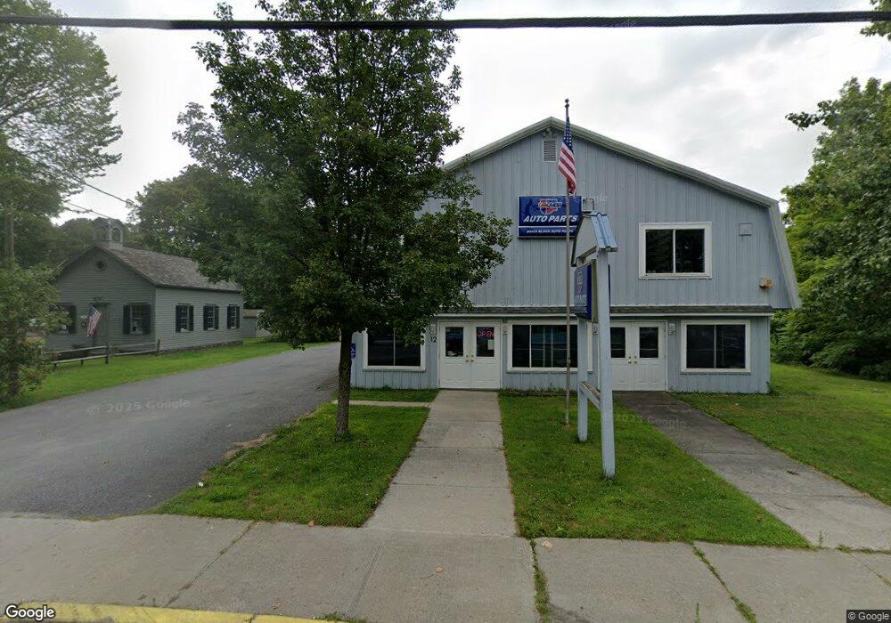
14 Main St Millerton, NY 12546
North East NeighborhoodEstimated Value: $429,254 - $442,000
1
Bed
2
Baths
1,920
Sq Ft
$227/Sq Ft
Est. Value
About This Home
This home is located at 14 Main St, Millerton, NY 12546 and is currently estimated at $435,627, approximately $226 per square foot. 14 Main St is a home with nearby schools including Webutuck Elementary School, Eugene Brooks Intermediate School, and Webutuck High School.
Ownership History
Date
Name
Owned For
Owner Type
Purchase Details
Closed on
Jul 29, 2021
Sold by
Rail Trail Supply Co Llc
Bought by
Grusauskas Jonathan
Current Estimated Value
Purchase Details
Closed on
Feb 10, 2016
Sold by
Soracco Victoria Anne
Bought by
Rail Trail Supply Co Llc
Purchase Details
Closed on
Sep 10, 2010
Sold by
Tanner Charles
Bought by
Soracco Victoria Anne
Purchase Details
Closed on
Dec 10, 2001
Sold by
Estate Of Linnea Harvey
Bought by
Tanner Charles Executor
Create a Home Valuation Report for This Property
The Home Valuation Report is an in-depth analysis detailing your home's value as well as a comparison with similar homes in the area
Home Values in the Area
Average Home Value in this Area
Purchase History
| Date | Buyer | Sale Price | Title Company |
|---|---|---|---|
| Grusauskas Jonathan | $335,000 | First American Title | |
| Rail Trail Supply Co Llc | -- | Gary L Murphy | |
| Rail Trail Supply Co Llc | -- | Gary L Murphy | |
| Soracco Victoria Anne | $225,000 | Steven Patterson | |
| Soracco Victoria Anne | $225,000 | Steven Patterson | |
| Tanner Charles Executor | -- | -- | |
| Tanner Charles Executor | -- | -- |
Source: Public Records
Tax History
| Year | Tax Paid | Tax Assessment Tax Assessment Total Assessment is a certain percentage of the fair market value that is determined by local assessors to be the total taxable value of land and additions on the property. | Land | Improvement |
|---|---|---|---|---|
| 2024 | $7,017 | $373,000 | $96,000 | $277,000 |
| 2023 | $6,663 | $355,200 | $95,900 | $259,300 |
| 2022 | $6,253 | $328,900 | $88,800 | $240,100 |
| 2021 | $5,781 | $271,700 | $83,000 | $188,700 |
| 2020 | $5,621 | $256,300 | $90,100 | $166,200 |
| 2019 | $5,528 | $256,300 | $90,100 | $166,200 |
| 2018 | $5,870 | $256,300 | $90,100 | $166,200 |
| 2017 | $5,830 | $256,300 | $90,100 | $166,200 |
| 2016 | $5,875 | $256,300 | $90,100 | $166,200 |
| 2015 | -- | $256,300 | $90,100 | $166,200 |
| 2014 | -- | $295,500 | $90,100 | $205,400 |
Source: Public Records
Map
Nearby Homes
- 5 Central Ave
- 24 Dutchess Ave
- 5846 S Elm Ave
- 490 Mill St
- 80 Rudd Pond Rd
- 5 Country View Rd
- 22 Beilke Rd
- 5627 Route 22
- 77 Belgo Rd
- 0 Ore Hill Rd Unit 24132985
- 151 Lake Ln
- 0 Smithfield Rd Unit KEY879008
- 0 Smithfield Rd Unit 157012
- 0 Smithfield Rd Unit KEY857365
- 106 Indian Mountain Rd
- 317 Skunks Misery Rd
- A Skunks Misery Rd
- 87 Kaye Rd
- 0 Skunks Misery Rd Unit KEY860535
- 6 Juniper Ledge Ln
- 51 S Center St
- 43 S Center St
- 5902 S Elm Ave
- 2 Main St
- 5898 S Elm Ave
- 18 Main St
- 33 S Center St Unit 35
- 50 S Center St
- 54 S Center St
- 54 S Center(54-56) St
- 56 S Center St
- 42 S Center St Unit 2
- 5896 S Elm Ave
- 1 Railroad Plaza
- 7 Main St
- 7 Main St
- 7 Main St Unit 3
- 7 Main St Unit 12
- 9 Main St Unit 12
- 54 S Center
Your Personal Tour Guide
Ask me questions while you tour the home.