14 Marriott Dr Lumberton, NJ 08048
Estimated Value: $662,021 - $791,000
About This Home
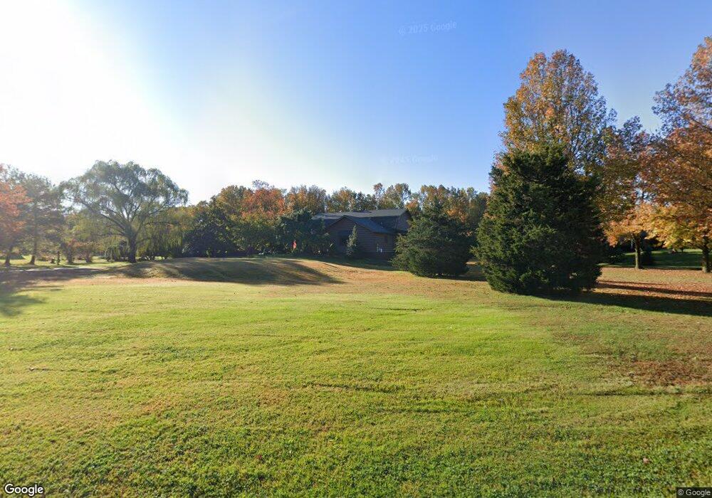
This home is located at 14 Marriott Dr, Lumberton, NJ 08048 and is currently estimated at $735,005, approximately $303 per square foot. 14 Marriott Dr is a home located in Burlington County with nearby schools including Ashbrook Elementary School, Bobby’s Run School, and Lumberton Middle School.
Ownership History
We collect this data history from publicly available records. To have your information removed, we recommend requesting removal directly through your county’s website.
Purchase Details
Home Financials for this Owner
Home Financials are based on the most recent Mortgage that was taken out on this home.Purchase Details
Home Values in the Area
Average Home Value in this Area
Purchase History
We collect this data history from publicly available records. To have your information removed, we recommend requesting removal directly through your county’s website.
| Date | Buyer | Sale Price | Title Company |
|---|---|---|---|
| -- | Freedom Title & Abstract | ||
| $175,000 | Federation Title Agency Inc |
Mortgage History
We collect this data history from publicly available records. To have your information removed, we recommend requesting removal directly through your county’s website.
| Date | Status | Borrower | Loan Amount |
|---|---|---|---|
| Open | $236,500 |
Tax History
We collect this data history from publicly available records. To have your information removed, we recommend requesting removal directly through your county’s website.
| Year | Tax Paid | Tax Assessment Tax Assessment Total Assessment is a certain percentage of the fair market value that is determined by local assessors to be the total taxable value of land and additions on the property. | Land | Improvement |
|---|---|---|---|---|
| 2025 | $10,656 | $400,300 | $160,900 | $239,400 |
| 2024 | $10,020 | $400,300 | $160,900 | $239,400 |
| 2023 | $10,020 | $400,300 | $160,900 | $239,400 |
| 2022 | $9,787 | $400,300 | $160,900 | $239,400 |
| 2021 | $9,759 | $400,300 | $160,900 | $239,400 |
| 2020 | $9,675 | $400,300 | $160,900 | $239,400 |
| 2019 | $9,567 | $400,300 | $160,900 | $239,400 |
| 2018 | $9,423 | $400,300 | $160,900 | $239,400 |
| 2017 | $9,247 | $400,300 | $160,900 | $239,400 |
| 2016 | $9,047 | $400,300 | $160,900 | $239,400 |
| 2015 | $8,979 | $400,300 | $160,900 | $239,400 |
| 2014 | $8,638 | $400,300 | $160,900 | $239,400 |
Map
- 52 Phillips Rd
- 40 Phillips Rd
- 56 Phillips Rd
- 55 Parry Dr
- 48 Parry Dr
- 1904 Ark Rd
- 1712 Ark Rd
- 17 Chase Rd
- 309 Ark Rd
- 14 Elsinore Dr
- 1120 Mount Laurel Rd
- 5005A Albridge Way Unit 5005
- 1804B Denham Ct Unit 1804B
- 140 Kettlebrook Dr
- 63 Kettlebrook Dr
- 1404B Denham Ct
- 501A Harwood Ct Unit 501
- 9 Cloverdale Ct
- 17 Amaryllis Ln
- 4203 Burryport Way
Ask me questions while you tour the home.