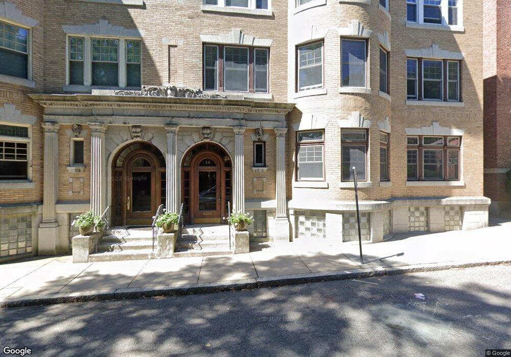
14 Marshal St Unit 2 Brookline, MA 02446
Coolidge Corner NeighborhoodEstimated Value: $1,350,000 - $1,826,000
3
Beds
1
Bath
1,988
Sq Ft
$807/Sq Ft
Est. Value
About This Home
This home is located at 14 Marshal St Unit 2, Brookline, MA 02446 and is currently estimated at $1,604,765, approximately $807 per square foot. 14 Marshal St Unit 2 is a home located in Norfolk County with nearby schools including Amos A. Lawrence School, Brookline High School, and Bridge Boston Charter School.
Ownership History
Date
Name
Owned For
Owner Type
Purchase Details
Closed on
Nov 29, 2006
Sold by
Saldana Helene G
Bought by
Izsak Carolina and Echaniz Hector
Current Estimated Value
Home Financials for this Owner
Home Financials are based on the most recent Mortgage that was taken out on this home.
Original Mortgage
$504,000
Outstanding Balance
$302,165
Interest Rate
6.36%
Mortgage Type
Purchase Money Mortgage
Estimated Equity
$1,302,600
Create a Home Valuation Report for This Property
The Home Valuation Report is an in-depth analysis detailing your home's value as well as a comparison with similar homes in the area
Home Values in the Area
Average Home Value in this Area
Purchase History
| Date | Buyer | Sale Price | Title Company |
|---|---|---|---|
| Izsak Carolina | $630,000 | -- |
Source: Public Records
Mortgage History
| Date | Status | Borrower | Loan Amount |
|---|---|---|---|
| Open | Izsak Carolina | $504,000 |
Source: Public Records
Tax History
| Year | Tax Paid | Tax Assessment Tax Assessment Total Assessment is a certain percentage of the fair market value that is determined by local assessors to be the total taxable value of land and additions on the property. | Land | Improvement |
|---|---|---|---|---|
| 2025 | $13,687 | $1,386,700 | $0 | $1,386,700 |
| 2024 | $13,282 | $1,359,500 | $0 | $1,359,500 |
| 2023 | $13,042 | $1,308,100 | $0 | $1,308,100 |
| 2022 | $13,069 | $1,282,500 | $0 | $1,282,500 |
| 2021 | $12,444 | $1,269,800 | $0 | $1,269,800 |
| 2020 | $11,881 | $1,257,300 | $0 | $1,257,300 |
| 2019 | $11,220 | $1,197,400 | $0 | $1,197,400 |
| 2018 | $10,699 | $1,131,000 | $0 | $1,131,000 |
| 2017 | $10,346 | $1,047,200 | $0 | $1,047,200 |
| 2016 | $9,426 | $904,600 | $0 | $904,600 |
| 2015 | $8,783 | $822,400 | $0 | $822,400 |
| 2014 | $8,459 | $742,700 | $0 | $742,700 |
Source: Public Records
Map
Nearby Homes
- 65 Francis St Unit A
- 100 Sewall Ave Unit 5
- 81 Francis St Unit 2
- 63 Longwood Ave Unit 2
- 60 Longwood Ave Unit 802
- 20 Chapel St Unit A303
- 20 Chapel St Unit B811
- 20 Chapel St Unit A703
- 20 Chapel St Unit B309
- 15 Kent Square
- 11 Kent Square
- 11 Kent Square Unit 11
- 50 Longwood Ave Unit 518
- 50 Longwood Ave Unit 718
- 50 Longwood Ave Unit 712
- 50 Longwood Ave Unit 611
- 45 Longwood Ave Unit 801
- 45 Longwood Ave Unit 712
- 45 Longwood Ave Unit 812
- 57 Saint Paul St Unit 19
- 14 Marshal St Unit 3
- 14 Marshal St Unit 1
- 12 Marshal St Unit 3
- 12 Marshal St Unit 2
- 12 Marshal St Unit 1
- 20 Marshal St Unit 2
- 20 Marshal St Unit 3
- 20 Marshal St Unit 1A
- 20 Marshal St Unit 4
- 28 Marshal St Unit 4
- 28 Marshal St Unit 3
- 28 Marshal St Unit 2
- 28 Marshal St Unit 1
- 28 Marshal St Unit 2,28
- 130 Longwood Ave Unit B
- 130 Longwood Ave Unit 3B
- 130 Longwood Ave Unit 3A
- 130 Longwood Ave Unit 2
- 130 Longwood Ave Unit 1B
- 130 Longwood Ave Unit 1A
Your Personal Tour Guide
Ask me questions while you tour the home.