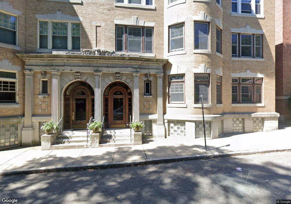
14 Marshal St Unit 2 Brookline, MA 02446
Coolidge Corner NeighborhoodEstimated Value: $1,380,000 - $1,911,000
About This Home
This home is located at 14 Marshal St Unit 2, Brookline, MA 02446 and is currently estimated at $1,673,552, approximately $841 per square foot. 14 Marshal St Unit 2 is a home located in Norfolk County with nearby schools including Amos A. Lawrence School, Brookline High School, and Bridge Boston Charter School.
Ownership History
We collect this data history from publicly available records. To have your information removed, we recommend requesting removal directly through your county’s website.
Purchase Details
Home Financials for this Owner
Home Financials are based on the most recent Mortgage that was taken out on this home.Home Values in the Area
Average Home Value in this Area
Purchase History
We collect this data history from publicly available records. To have your information removed, we recommend requesting removal directly through your county’s website.
| Date | Buyer | Sale Price | Title Company |
|---|---|---|---|
| $630,000 | -- |
Mortgage History
We collect this data history from publicly available records. To have your information removed, we recommend requesting removal directly through your county’s website.
| Date | Status | Borrower | Loan Amount |
|---|---|---|---|
| Open | $504,000 |
Tax History
We collect this data history from publicly available records. To have your information removed, we recommend requesting removal directly through your county’s website.
| Year | Tax Paid | Tax Assessment Tax Assessment Total Assessment is a certain percentage of the fair market value that is determined by local assessors to be the total taxable value of land and additions on the property. | Land | Improvement |
|---|---|---|---|---|
| 2025 | $13,687 | $1,386,700 | $0 | $1,386,700 |
| 2024 | $13,282 | $1,359,500 | $0 | $1,359,500 |
| 2023 | $13,042 | $1,308,100 | $0 | $1,308,100 |
| 2022 | $13,069 | $1,282,500 | $0 | $1,282,500 |
| 2021 | $12,444 | $1,269,800 | $0 | $1,269,800 |
| 2020 | $11,881 | $1,257,300 | $0 | $1,257,300 |
| 2019 | $11,220 | $1,197,400 | $0 | $1,197,400 |
| 2018 | $10,699 | $1,131,000 | $0 | $1,131,000 |
| 2017 | $10,346 | $1,047,200 | $0 | $1,047,200 |
| 2016 | $9,426 | $904,600 | $0 | $904,600 |
| 2015 | $8,783 | $822,400 | $0 | $822,400 |
| 2014 | $8,459 | $742,700 | $0 | $742,700 |
Map
- 14 Marshal St Unit 1
- 131 Sewall Ave Unit 61
- 131 Sewall Ave Unit 49
- 123 Sewall Ave Unit 2K
- 97 Sewall Ave Unit 5
- 65 Francis St Unit A
- 135 Saint Paul St Unit 5
- 123 Saint Paul St Unit 1
- 92 Sewall Ave Unit 2C
- 269 Kent St
- 63 Longwood Ave Unit 2
- 60 Longwood Ave Unit 408
- 99 Perry St Unit 6
- 21 Kent Square Unit 2
- 21 Kent Square Unit 1
- 50 Longwood Ave Unit 712
- 50 Longwood Ave Unit 1118
- 50 Longwood Ave Unit 718
- 50 Longwood Ave Unit 311
- 45 Longwood Ave Unit 707
- 128 Longwood Ave Unit P
- 128 Longwood Ave
- 128 Longwood Ave Unit 1
- 128 Longwood Ave Unit B
- 128 Longwood Ave Unit 2
- 128 Longwood Ave Unit 3
- 128 Longwood Ave Unit 4
- 128 Longwood Ave
- 130 Longwood Ave Unit B
- 130 Longwood Ave Unit 3B
- 130 Longwood Ave Unit 3A
- 130 Longwood Ave Unit 2
- 130 Longwood Ave Unit 1B
- 130 Longwood Ave Unit 1A
- 130 Longwood Ave Unit longwood ave 1
- 130 Longwood Ave Unit 100 longwood ave 1
- 130 Longwood Ave Unit 3
- 126 Longwood Ave Unit 3
- 126 Longwood Ave Unit 2
- 126 Longwood Ave Unit 1
Ask me questions while you tour the home.