14 Michael Ct Newton, NJ 07860
Estimated Value: $470,624 - $655,000
About This Home
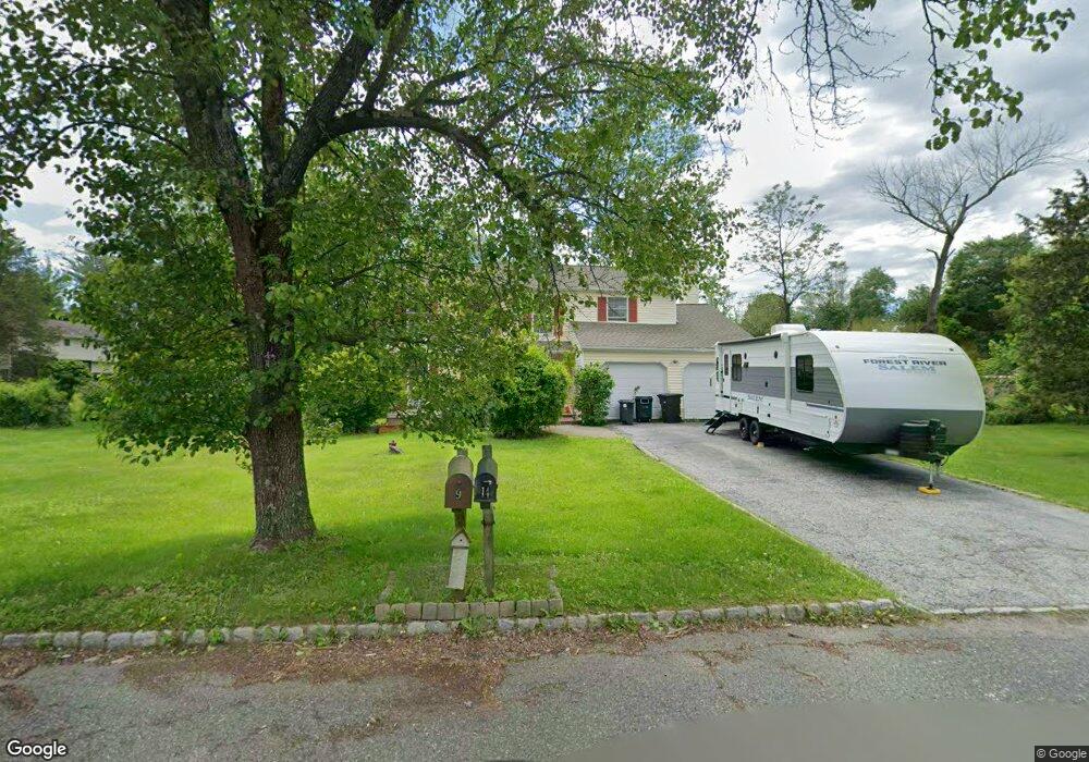
This home is located at 14 Michael Ct, Newton, NJ 07860 and is currently estimated at $574,406, approximately $296 per square foot. 14 Michael Ct is a home located in Sussex County with nearby schools including Green Hills School and Tranquility Adventist School.
Ownership History
We collect this data history from publicly available records. To have your information removed, we recommend requesting removal directly through your county’s website.
Purchase Details
Purchase Details
Home Financials for this Owner
Home Financials are based on the most recent Mortgage that was taken out on this home.Home Values in the Area
Average Home Value in this Area
Purchase History
We collect this data history from publicly available records. To have your information removed, we recommend requesting removal directly through your county’s website.
| Date | Buyer | Sale Price | Title Company |
|---|---|---|---|
| -- | Chicago Title Insurance Co | ||
| $351,500 | Chicago Title Insurance Co |
Mortgage History
We collect this data history from publicly available records. To have your information removed, we recommend requesting removal directly through your county’s website.
| Date | Status | Borrower | Loan Amount |
|---|---|---|---|
| Previous Owner | $333,925 |
Tax History
We collect this data history from publicly available records. To have your information removed, we recommend requesting removal directly through your county’s website.
| Year | Tax Paid | Tax Assessment Tax Assessment Total Assessment is a certain percentage of the fair market value that is determined by local assessors to be the total taxable value of land and additions on the property. | Land | Improvement |
|---|---|---|---|---|
| 2025 | $9,979 | $489,600 | $137,200 | $352,400 |
| 2024 | $9,907 | $256,400 | $94,200 | $162,200 |
| 2023 | $9,907 | $256,400 | $94,200 | $162,200 |
| 2022 | $9,425 | $256,400 | $94,200 | $162,200 |
| 2021 | $9,302 | $256,400 | $94,200 | $162,200 |
| 2020 | $9,077 | $256,400 | $94,200 | $162,200 |
| 2019 | $8,884 | $256,400 | $94,200 | $162,200 |
| 2018 | $9,351 | $256,400 | $94,200 | $162,200 |
| 2017 | $9,164 | $256,400 | $94,200 | $162,200 |
| 2016 | $8,895 | $256,400 | $94,200 | $162,200 |
| 2015 | $8,577 | $256,400 | $94,200 | $162,200 |
| 2014 | $8,343 | $256,400 | $94,200 | $162,200 |
Map
- 17 Shotwell Rd
- 37 Pequest Rd
- 7 Woodfield Rd
- 14 Misty Ln
- 155 Wintermute Rd
- 83 Creek Rd
- 2 Stone Forge Rd
- 112 Kennedy Rd
- 84 Yellow Frame Rd
- 104 Creek Rd
- 10 Old Forge Rd
- 488 Ridge Rd
- 86 Kennedy Rd
- 15 Spring Hunter Ct
- 107 South St
- 1127 Dark Moon Rd
- 468 Ridge Rd
- 3 Troon Dr Unit 35
- 569 Ervey Rd
- 77 Decker Pond Rd
- 77 Wolfs Corner Rd
- 12 Michael Ct
- 99 Wolfs Corner Rd
- 10 Michael Ct
- 95 Wolfs Corner Rd
- 9 Michael Ct
- 101 Wolfs Corner Rd
- 93 Wolfs Corner Rd
- 105 Wolfs Corner Rd
- 3 Michael Ct
- 5 Michael Ct
- 8 Michael Ct
- 107 Wolfs Corner Rd
- 94 Wolfs Corner Rd
- 96 Wolfs Corner Rd
- 0 Wolfs Corner Rd
- 90 Wolfs Corner Rd
- 100 Wolfs Corner Rd
- 4 Michael Ct
- 2 Michael Ct
Ask me questions while you tour the home.