14 Poor House Rd Newtown, CT 06470
Estimated Value: $846,023 - $945,000
4
Beds
4
Baths
3,704
Sq Ft
$239/Sq Ft
Est. Value
About This Home
This home is located at 14 Poor House Rd, Newtown, CT 06470 and is currently estimated at $885,756, approximately $239 per square foot. 14 Poor House Rd is a home located in Fairfield County with nearby schools including Head O'Meadow Elementary School, Reed Intermediate School, and Newtown Middle School.
Ownership History
Date
Name
Owned For
Owner Type
Purchase Details
Closed on
Aug 3, 2001
Sold by
Sienkiewicz Craig and Sienkiewicz Michelle
Bought by
Scarangella Eugene and Scarangella Jennifer
Current Estimated Value
Purchase Details
Closed on
Sep 15, 1997
Sold by
Wolferseder Lynda
Bought by
Sienkiewicz Craig A and Sienkiewicz Michele
Purchase Details
Closed on
Jul 31, 1989
Sold by
Ppg Ind Inc
Bought by
Wolferseder Frank
Create a Home Valuation Report for This Property
The Home Valuation Report is an in-depth analysis detailing your home's value as well as a comparison with similar homes in the area
Home Values in the Area
Average Home Value in this Area
Purchase History
We collect this data history from publicly available records. To have your information removed, we recommend requesting removal directly through your county’s website.
| Date | Buyer | Sale Price | Title Company |
|---|---|---|---|
| Scarangella Eugene | $442,500 | -- | |
| Scarangella Eugene | $442,500 | -- | |
| Sienkiewicz Craig A | $304,000 | -- | |
| Sienkiewicz Craig A | $304,000 | -- | |
| Wolferseder Frank | $320,000 | -- |
Source: Public Records
Mortgage History
We collect this data history from publicly available records. To have your information removed, we recommend requesting removal directly through your county’s website.
| Date | Status | Borrower | Loan Amount |
|---|---|---|---|
| Open | Wolferseder Frank | $444,000 | |
| Closed | Wolferseder Frank | $259,000 |
Source: Public Records
Tax History
| Year | Tax Paid | Tax Assessment Tax Assessment Total Assessment is a certain percentage of the fair market value that is determined by local assessors to be the total taxable value of land and additions on the property. | Land | Improvement |
|---|---|---|---|---|
| 2025 | $13,295 | $462,610 | $117,820 | $344,790 |
| 2024 | $12,477 | $462,610 | $117,820 | $344,790 |
| 2023 | $12,139 | $462,610 | $117,820 | $344,790 |
| 2022 | $11,476 | $331,010 | $93,150 | $237,860 |
| 2021 | $11,469 | $331,010 | $93,150 | $237,860 |
| 2020 | $11,506 | $331,010 | $93,150 | $237,860 |
| 2019 | $11,509 | $331,010 | $93,150 | $237,860 |
| 2018 | $11,334 | $331,010 | $93,150 | $237,860 |
| 2017 | $11,467 | $338,570 | $93,130 | $245,440 |
| 2016 | $11,376 | $338,570 | $93,130 | $245,440 |
| 2015 | $11,197 | $338,570 | $93,130 | $245,440 |
| 2014 | $11,278 | $338,570 | $93,130 | $245,440 |
Source: Public Records
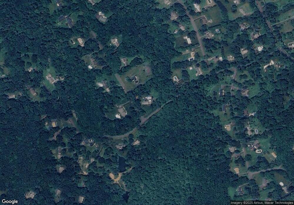
Map
Nearby Homes
- 3 Old Dodgingtown Rd
- 20 Brookwood Dr
- 21 Codfish Hill Road Extension
- 9 Cemetery Rd
- 7 Pinnacle Dr
- 28 Poverty Hollow Rd
- 6 Jacklin Rd
- 18 N Branch Rd
- 132 Codfish Hill Rd
- 10 Karen Blvd
- 17 Abbotts Hill Rd
- 44 Aunt Pattys Ln W
- 31 Aunt Pattys Ln W
- 109 Codfish Hill Rd
- 62 Codfish Hill Rd
- 183 Sugar St
- 29 Greenleaf Farms Rd
- 10 Arthurs Ct
- 13 Aunt Pattys Ln W
- 14 Merlins Ln
- 39 Brookwood Dr
- 12 Poor House Rd
- 48 Brookwood Dr
- 37 Brookwood Dr
- 44 Brookwood Dr
- 1 Brookwood Dr
- 3 Brookwood Dr
- 19 Poor House Rd
- 5 Brookwood Dr
- 2 Shut Rd
- 35 Brookwood Dr
- 7 Brookwood Dr
- 22 Poor House Rd
- 4 Shut Rd
- 2 Brookwood Dr
- 42 Brookwood Dr
- 9 Brookwood Dr
- 29 Poor House Rd
- 10 Shut Rd
- 11 Brookwood Dr
Your Personal Tour Guide
Ask me questions while you tour the home.