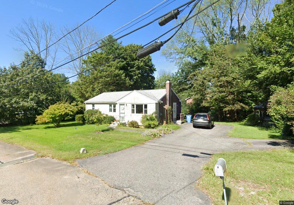
14 Redbird Rd Wrentham, MA 02093
Estimated Value: $417,000 - $512,491
3
Beds
1
Bath
1,044
Sq Ft
$457/Sq Ft
Est. Value
About This Home
This home is located at 14 Redbird Rd, Wrentham, MA 02093 and is currently estimated at $476,623, approximately $456 per square foot. 14 Redbird Rd is a home located in Norfolk County with nearby schools including Delaney Elementary School, Charles E Roderick, and Discovery Daycare Center.
Ownership History
Date
Name
Owned For
Owner Type
Purchase Details
Closed on
Apr 10, 2020
Sold by
Julewitz Eva C
Bought by
Valle Laura
Current Estimated Value
Home Financials for this Owner
Home Financials are based on the most recent Mortgage that was taken out on this home.
Original Mortgage
$190,000
Outstanding Balance
$167,674
Interest Rate
3.2%
Mortgage Type
New Conventional
Estimated Equity
$308,949
Create a Home Valuation Report for This Property
The Home Valuation Report is an in-depth analysis detailing your home's value as well as a comparison with similar homes in the area
Purchase History
| Date | Buyer | Sale Price | Title Company |
|---|---|---|---|
| Valle Laura | $312,000 | None Available |
Source: Public Records
Mortgage History
| Date | Status | Borrower | Loan Amount |
|---|---|---|---|
| Open | Valle Laura | $190,000 |
Source: Public Records
Tax History
| Year | Tax Paid | Tax Assessment Tax Assessment Total Assessment is a certain percentage of the fair market value that is determined by local assessors to be the total taxable value of land and additions on the property. | Land | Improvement |
|---|---|---|---|---|
| 2025 | $5,206 | $449,200 | $251,900 | $197,300 |
| 2024 | $4,852 | $404,300 | $251,900 | $152,400 |
| 2023 | $4,575 | $362,500 | $229,000 | $133,500 |
| 2022 | $4,499 | $329,100 | $206,100 | $123,000 |
| 2021 | $4,218 | $299,800 | $184,100 | $115,700 |
| 2020 | $4,064 | $285,200 | $168,000 | $117,200 |
| 2019 | $4,000 | $283,300 | $168,000 | $115,300 |
| 2018 | $3,554 | $249,600 | $159,700 | $89,900 |
| 2017 | $3,420 | $240,000 | $156,600 | $83,400 |
| 2016 | $3,377 | $236,500 | $152,100 | $84,400 |
| 2015 | $3,291 | $219,700 | $146,200 | $73,500 |
| 2014 | $3,270 | $213,600 | $140,600 | $73,000 |
Source: Public Records
Map
Nearby Homes
- 15 Tilting Rock Rd
- 10 Nature View Dr
- 15 Nature View Dr
- 3 Earle Stewart Ln
- 2 Earle Stewart Ln
- 12 Earle Stewart Ln
- 10 Earle Stewart Ln Unit Lot 5
- 135 Creek St Unit 2
- 151 Dedham St
- 282 Thurston St
- 35 Fairbanks Dr
- 500 Franklin St
- 483 Thurston St
- 55 Walnut Rd
- 30 Partridge View Ln S
- 576 Dedham St
- 10 Sycamore Rd
- 165 Wampum St
- 1 Weber Farm Rd Unit 1
- 4 Weber Farm Rd Unit 4
- 24 Redbird Rd
- 6 Redbird Rd
- 180 Taunton St
- 5 Redbird Rd
- 13 Redbird Rd
- 34 Redbird Rd
- 183 Taunton St
- 220 Taunton St
- 197 Taunton St
- 177 Taunton St
- 33 Redbird Rd
- 209 Taunton St
- 169 Taunton St
- 289 Taunton St
- 215 Taunton St
- 224 Taunton St Unit 224
- 224 Taunton St Unit 1
- 224 Taunton St
- 224 Taunton St
- 226 Taunton St
Your Personal Tour Guide
Ask me questions while you tour the home.