14 Shawn Ln Limerick, ME 04048
Limerick AreaEstimated Value: $443,000 - $588,545
About This Home
This home is located at 14 Shawn Ln, Limerick, ME 04048 and is currently estimated at $499,386, approximately $650 per square foot. 14 Shawn Ln is a home located in York County with nearby schools including Massabesic High School.
Ownership History
We collect this data history from publicly available records. To have your information removed, we recommend requesting removal directly through your county’s website.
Purchase Details
Home Financials for this Owner
Home Financials are based on the most recent Mortgage that was taken out on this home.Home Values in the Area
Average Home Value in this Area
Purchase History
We collect this data history from publicly available records. To have your information removed, we recommend requesting removal directly through your county’s website.
| Date | Buyer | Sale Price | Title Company |
|---|---|---|---|
| -- | -- |
Mortgage History
We collect this data history from publicly available records. To have your information removed, we recommend requesting removal directly through your county’s website.
| Date | Status | Borrower | Loan Amount |
|---|---|---|---|
| Open | $60,000 | ||
| Closed | $35,000 | ||
| Closed | $25,000 | ||
| Open | $200,000 |
Tax History
We collect this data history from publicly available records. To have your information removed, we recommend requesting removal directly through your county’s website.
| Year | Tax Paid | Tax Assessment Tax Assessment Total Assessment is a certain percentage of the fair market value that is determined by local assessors to be the total taxable value of land and additions on the property. | Land | Improvement |
|---|---|---|---|---|
| 2025 | $5,058 | $532,388 | $110,320 | $422,068 |
| 2024 | $5,058 | $532,388 | $110,320 | $422,068 |
| 2023 | $6,243 | $410,736 | $59,000 | $351,736 |
| 2022 | $5,832 | $410,736 | $59,000 | $351,736 |
| 2021 | $5,455 | $328,589 | $47,200 | $281,389 |
| 2020 | $5,389 | $328,589 | $47,200 | $281,389 |
| 2019 | $5,175 | $328,589 | $47,200 | $281,389 |
| 2018 | $5,307 | $328,589 | $47,200 | $281,389 |
| 2017 | $5,175 | $328,589 | $47,200 | $281,389 |
| 2016 | $4,911 | $326,297 | $47,200 | $279,097 |
| 2015 | $4,764 | $326,297 | $47,200 | $279,097 |
| 2014 | $4,617 | $326,297 | $47,200 | $279,097 |
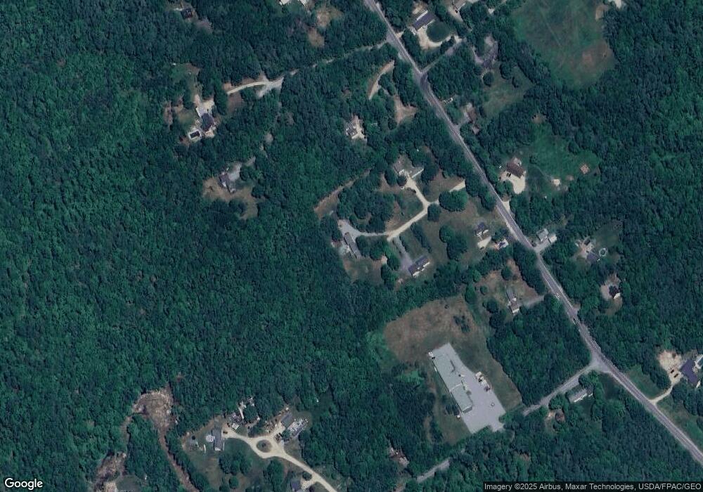
Map
- 266 Sokokis Trail S
- 6 Waycross Way
- TBD 0 Foss Rd
- Lots 24-26 Katie Cir
- TBD Sokokis Trail & Beaver Brook Rd
- TBB Sokokis Trail & Beaver Brook Rd
- 56 Burnham Rd
- 48 Leisure Ln
- 4 Deer Crossing Rd
- 169 Grandview Dr
- Lot 65 Leisure Ln
- 41 Arrowhead Ln
- 17 Home Field Dr
- Lot 156 Leisure Ln
- LOT# 8 Business Park Rd
- Lot# 11 Business Park Rd
- 148 Beaver Brook Rd
- 392 Foss Rd
- 49 Kings Hill Rd
- 82 Diamond Dr
- 19 Shawn Ln
- 6 Shawn Ln
- 209 Sokokis Trail S
- 241 Sokokis Trail S
- 0 Shawn
- 12 Woodridge Dr
- 230 Sokokis Trail S
- 255 Sokokis Trail S
- 19 Foss Rd
- 220 Sokokis Trail S
- 12 Woodbridge Dr
- 22 Woodridge Dr
- 246 Sokokis Trail S
- 37 Foss Rd
- 218 Sokokis Trail S
- 18 Jay Ln
- 11 Enterprise Rd
- 252 Sokokis Trail S
- 6 Jay Ln
- Lot #3 Foss Rd
Ask me questions while you tour the home.