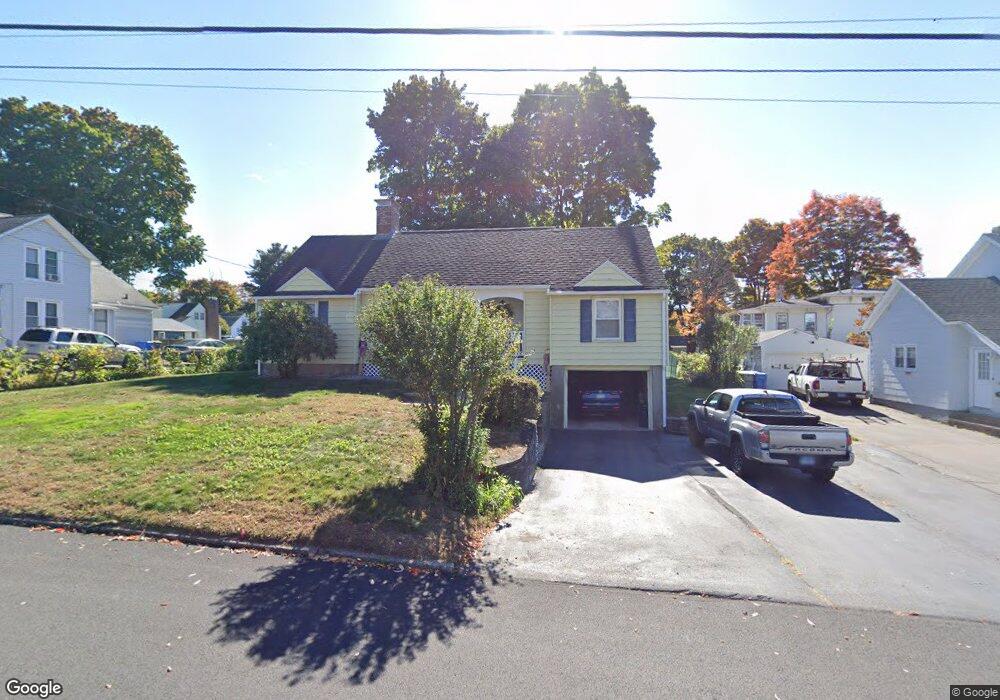
14 Vernon St Bristol, CT 06010
Forestville NeighborhoodEstimated Value: $324,000 - $336,000
About This Home
This home is located at 14 Vernon St, Bristol, CT 06010 and is currently estimated at $329,613, approximately $262 per square foot. 14 Vernon St is a home located in Hartford County with nearby schools including Northeast Middle School, Bristol Eastern High School, and St Matthew School.
Ownership History
We collect this data history from publicly available records. To have your information removed, we recommend requesting removal directly through your county’s website.
Purchase Details
Purchase Details
Purchase Details
Home Values in the Area
Average Home Value in this Area
Purchase History
We collect this data history from publicly available records. To have your information removed, we recommend requesting removal directly through your county’s website.
| Date | Buyer | Sale Price | Title Company |
|---|---|---|---|
| $129,000 | -- | ||
| $149,900 | -- | ||
| $120,000 | -- |
Mortgage History
We collect this data history from publicly available records. To have your information removed, we recommend requesting removal directly through your county’s website.
| Date | Status | Borrower | Loan Amount |
|---|---|---|---|
| Closed | $108,288 | ||
| Closed | $167,397 | ||
| Closed | $50,000 |
Tax History
We collect this data history from publicly available records. To have your information removed, we recommend requesting removal directly through your county’s website.
| Year | Tax Paid | Tax Assessment Tax Assessment Total Assessment is a certain percentage of the fair market value that is determined by local assessors to be the total taxable value of land and additions on the property. | Land | Improvement |
|---|---|---|---|---|
| 2025 | $5,831 | $172,760 | $54,600 | $118,160 |
| 2024 | $5,502 | $172,760 | $54,600 | $118,160 |
| 2023 | $5,243 | $172,760 | $54,600 | $118,160 |
| 2022 | $4,687 | $122,220 | $36,960 | $85,260 |
| 2021 | $4,687 | $122,220 | $36,960 | $85,260 |
| 2020 | $4,687 | $122,220 | $36,960 | $85,260 |
| 2019 | $4,650 | $122,220 | $36,960 | $85,260 |
| 2018 | $4,507 | $122,220 | $36,960 | $85,260 |
| 2017 | $4,469 | $124,040 | $45,850 | $78,190 |
| 2016 | $4,469 | $124,040 | $45,850 | $78,190 |
| 2015 | $4,293 | $124,040 | $45,850 | $78,190 |
| 2014 | $4,266 | $123,270 | $45,850 | $77,420 |
Map
- 22 Rowe Place
- 35 Buckley Ave
- 231 Central St
- 379 Washington St
- 48 Twining St
- 132 Milton Rd
- 14 Hotchkiss Dr
- 82 Bingham St
- 29 Bingham St
- 133 Central St
- 428 Washington St
- 33 Kenney St
- 135 E Main St
- 187 W Washington St
- 162 E Main St
- 121 Mechanic St
- 2 Burton St
- 277 Mechanic St
- 13 Predem Rd
- 73 Jeannette St
Ask me questions while you tour the home.