Estimated Value: $567,000 - $664,931
3
Beds
2
Baths
1,670
Sq Ft
$378/Sq Ft
Est. Value
About This Home
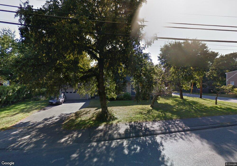
This home is located at 140 Central St, Acton, MA 01720 and is currently estimated at $630,983, approximately $377 per square foot. 140 Central St is a home located in Middlesex County with nearby schools including Acton-Boxborough Regional High School and Maynard Knowledge Beginnings.
Ownership History
Date
Name
Owned For
Owner Type
Purchase Details
Closed on
Nov 14, 2023
Sold by
Manning Mary
Bought by
John D Manning T D and John Manning
Current Estimated Value
Purchase Details
Closed on
May 21, 2013
Sold by
Manning John D
Bought by
Manning Karalee
Purchase Details
Closed on
Jun 28, 2001
Sold by
Collard Jeffrey O and Collard Avery M
Bought by
Manning John D and Manning Karalee
Home Financials for this Owner
Home Financials are based on the most recent Mortgage that was taken out on this home.
Original Mortgage
$235,600
Interest Rate
7.14%
Mortgage Type
Purchase Money Mortgage
Purchase Details
Closed on
Apr 24, 1997
Sold by
Noman Kamal J and Noman Amal S
Bought by
Collard Jeffrey O and Collard Avery M
Purchase Details
Closed on
Aug 2, 1991
Sold by
Byron Cynthia A
Bought by
Noman Kamal G and Noman Amal S
Create a Home Valuation Report for This Property
The Home Valuation Report is an in-depth analysis detailing your home's value as well as a comparison with similar homes in the area
Home Values in the Area
Average Home Value in this Area
Purchase History
| Date | Buyer | Sale Price | Title Company |
|---|---|---|---|
| John D Manning T D | -- | None Available | |
| Manning Mary | $528,500 | None Available | |
| Manning Karalee | -- | -- | |
| Manning John D | $294,500 | -- | |
| Collard Jeffrey O | $180,000 | -- | |
| Collard Jeffrey O | $180,000 | -- | |
| Noman Kamal G | $148,000 | -- | |
| Noman Kamal G | $148,000 | -- |
Source: Public Records
Mortgage History
| Date | Status | Borrower | Loan Amount |
|---|---|---|---|
| Previous Owner | Noman Kamal G | $235,600 | |
| Previous Owner | Noman Kamal G | $150,000 |
Source: Public Records
Tax History
| Year | Tax Paid | Tax Assessment Tax Assessment Total Assessment is a certain percentage of the fair market value that is determined by local assessors to be the total taxable value of land and additions on the property. | Land | Improvement |
|---|---|---|---|---|
| 2025 | $9,369 | $546,300 | $264,900 | $281,400 |
| 2024 | $8,792 | $527,400 | $264,900 | $262,500 |
| 2023 | $8,838 | $503,300 | $240,800 | $262,500 |
| 2022 | $8,039 | $413,300 | $209,400 | $203,900 |
| 2021 | $7,764 | $383,800 | $193,900 | $189,900 |
| 2020 | $7,196 | $374,000 | $193,900 | $180,100 |
| 2019 | $6,902 | $356,300 | $193,900 | $162,400 |
| 2018 | $6,799 | $350,800 | $193,900 | $156,900 |
| 2017 | $6,686 | $350,800 | $193,900 | $156,900 |
| 2016 | $6,404 | $333,000 | $193,900 | $139,100 |
| 2015 | $6,309 | $331,200 | $193,900 | $137,300 |
| 2014 | $6,205 | $319,000 | $193,900 | $125,100 |
Source: Public Records
Map
Nearby Homes
- 92 Willow St Unit 1
- 27 Tuttle Dr
- 94 Willow St Unit 2
- 15 Martin St
- 389 Arlington St
- 203 Main St
- 23 Spruce St Unit B
- 159 Prospect St Unit 4
- 30 Duggan Rd
- 7 Woodfield Rd
- 75 School St
- 53 Cortland Ln Unit 53
- 70 River St
- 40 Mohawk Dr
- 7 Sandy Dr
- 129 Acton St Unit 16
- 190 School St
- 42 Trefry Ln
- 91 Drummer Rd Unit 91
- 249 Boxboro Rd
Your Personal Tour Guide
Ask me questions while you tour the home.