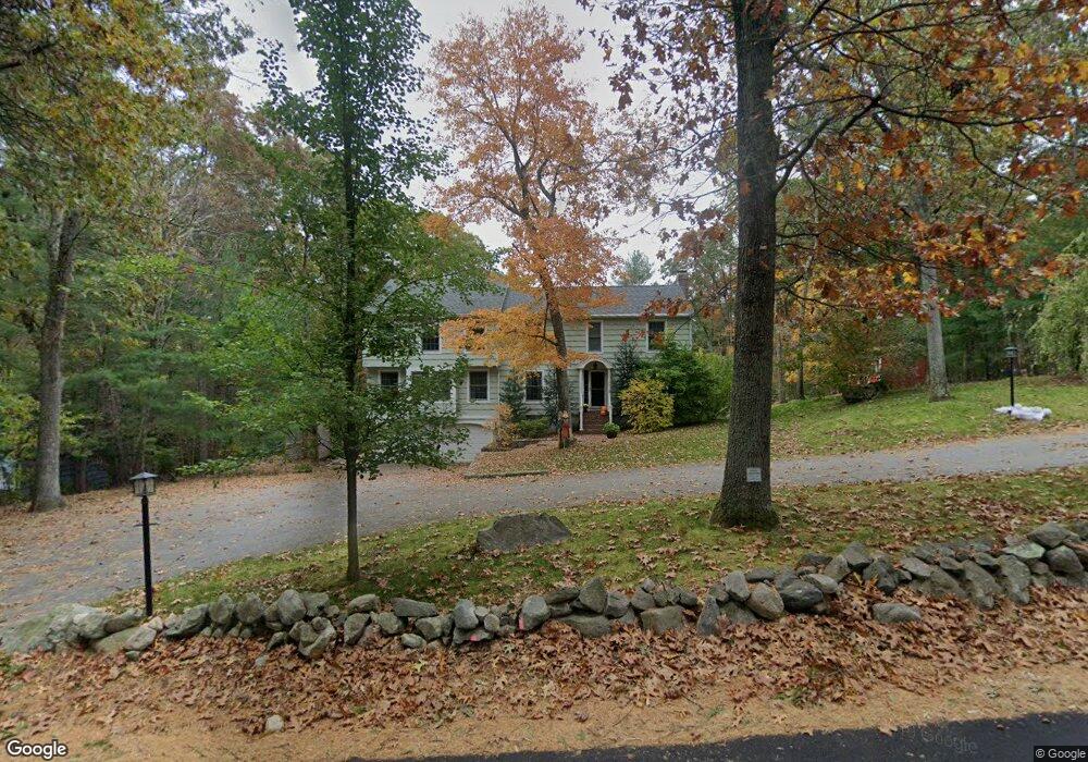
140 Morse Rd Sudbury, MA 01776
Estimated Value: $1,048,000 - $1,295,000
About This Home
This home is located at 140 Morse Rd, Sudbury, MA 01776 and is currently estimated at $1,166,520, approximately $393 per square foot. 140 Morse Rd is a home located in Middlesex County with nearby schools including General John Nixon Elementary School, Ephraim Curtis Middle School, and Lincoln-Sudbury Regional High School.
Ownership History
We collect this data history from publicly available records. To have your information removed, we recommend requesting removal directly through your county’s website.
Purchase Details
Home Financials for this Owner
Home Financials are based on the most recent Mortgage that was taken out on this home.Home Values in the Area
Average Home Value in this Area
Purchase History
We collect this data history from publicly available records. To have your information removed, we recommend requesting removal directly through your county’s website.
| Date | Buyer | Sale Price | Title Company |
|---|---|---|---|
| $221,000 | -- | ||
| $221,000 | -- |
Mortgage History
We collect this data history from publicly available records. To have your information removed, we recommend requesting removal directly through your county’s website.
| Date | Status | Borrower | Loan Amount |
|---|---|---|---|
| Open | $292,000 | ||
| Closed | $207,000 | ||
| Closed | $198,900 |
Tax History
We collect this data history from publicly available records. To have your information removed, we recommend requesting removal directly through your county’s website.
| Year | Tax Paid | Tax Assessment Tax Assessment Total Assessment is a certain percentage of the fair market value that is determined by local assessors to be the total taxable value of land and additions on the property. | Land | Improvement |
|---|---|---|---|---|
| 2025 | $16,814 | $1,148,500 | $461,300 | $687,200 |
| 2024 | $16,176 | $1,107,200 | $447,700 | $659,500 |
| 2023 | $15,246 | $966,800 | $414,500 | $552,300 |
| 2022 | $14,695 | $814,100 | $380,100 | $434,000 |
| 2021 | $14,036 | $745,400 | $380,100 | $365,300 |
| 2020 | $13,753 | $745,400 | $380,100 | $365,300 |
| 2019 | $13,350 | $745,400 | $380,100 | $365,300 |
| 2018 | $13,164 | $734,200 | $400,100 | $334,100 |
| 2017 | $12,885 | $726,300 | $395,300 | $331,000 |
| 2016 | $12,490 | $701,700 | $380,100 | $321,600 |
| 2015 | $11,980 | $680,700 | $365,300 | $315,400 |
| 2014 | $11,967 | $663,700 | $354,500 | $309,200 |
Map
- 20 Hunt Rd
- 82 Maynard Rd
- 38 Flintlock Ln
- 22 Starview Dr
- 563 Concord Rd
- 238 Marlboro Rd
- 177 Plympton Rd
- 96 Hudson Rd
- 8 Twillingate Rd
- 45 Widow Rights Ln
- 125 Hudson Rd
- 17 Sunset Path
- 136 Plympton Rd
- 55 Widow Rites Ln
- 64 Cudworth Ln
- 295 Concord Rd
- 4 Twin Meadow Ln
- 8-10 Concord Road (&356 Bostonpost)
- 21 Churchill St
- 55 Saxony Dr
Ask me questions while you tour the home.