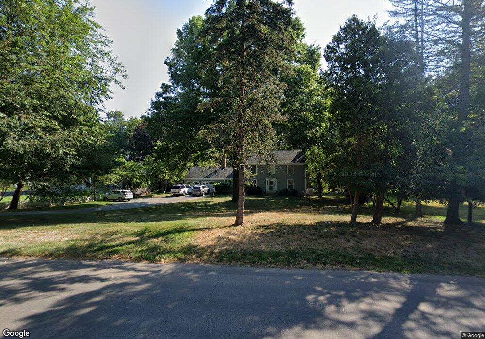
1400 Bronson Rd Fairfield, CT 06824
University NeighborhoodEstimated Value: $974,000 - $1,567,000
4
Beds
3
Baths
2,432
Sq Ft
$559/Sq Ft
Est. Value
About This Home
This home is located at 1400 Bronson Rd, Fairfield, CT 06824 and is currently estimated at $1,358,895, approximately $558 per square foot. 1400 Bronson Rd is a home located in Fairfield County with nearby schools including Mill Hill School, Roger Ludlowe Middle School, and Fairfield Ludlowe High School.
Ownership History
Date
Name
Owned For
Owner Type
Purchase Details
Closed on
Aug 28, 2007
Sold by
Hare Amy R
Bought by
Mitchell Michael and Mitchell Alessandra C
Current Estimated Value
Purchase Details
Closed on
Apr 27, 1998
Sold by
Berta Robert J
Bought by
Mcthomas Steven T and Mcthomas Amy Rh
Create a Home Valuation Report for This Property
The Home Valuation Report is an in-depth analysis detailing your home's value as well as a comparison with similar homes in the area
Home Values in the Area
Average Home Value in this Area
Purchase History
| Date | Buyer | Sale Price | Title Company |
|---|---|---|---|
| Mitchell Michael | $870,000 | -- | |
| Mitchell Michael | $870,000 | -- | |
| Mcthomas Steven T | $450,000 | -- | |
| Mcthomas Steven T | $450,000 | -- |
Source: Public Records
Mortgage History
| Date | Status | Borrower | Loan Amount |
|---|---|---|---|
| Open | Mcthomas Steven T | $377,000 | |
| Open | Mcthomas Steven T | $665,000 |
Source: Public Records
Tax History
| Year | Tax Paid | Tax Assessment Tax Assessment Total Assessment is a certain percentage of the fair market value that is determined by local assessors to be the total taxable value of land and additions on the property. | Land | Improvement |
|---|---|---|---|---|
| 2025 | $17,317 | $609,980 | $379,610 | $230,370 |
| 2024 | $17,018 | $609,980 | $379,610 | $230,370 |
| 2023 | $16,781 | $609,980 | $379,610 | $230,370 |
| 2022 | $16,616 | $609,980 | $379,610 | $230,370 |
| 2021 | $16,457 | $609,980 | $379,610 | $230,370 |
| 2020 | $17,283 | $645,120 | $375,340 | $269,780 |
| 2019 | $17,283 | $645,120 | $375,340 | $269,780 |
| 2018 | $17,005 | $645,120 | $375,340 | $269,780 |
| 2017 | $16,657 | $645,120 | $375,340 | $269,780 |
| 2016 | $16,418 | $645,120 | $375,340 | $269,780 |
| 2015 | $16,456 | $663,810 | $401,870 | $261,940 |
| 2014 | $16,197 | $663,810 | $401,870 | $261,940 |
Source: Public Records
Map
Nearby Homes
- 320 Warner Hill Rd
- 127 Field Rock Rd
- 1353 Mill Plain Rd
- 360 Duck Farm Rd
- 329 Bronson Rd
- 88 Middlebrook Dr
- 148 Millspaugh Dr
- 188 Henderson Rd
- 610 Unquowa Rd
- 790 Cedar Brook Ln
- 570 Unquowa Rd
- 2683 Bronson Rd
- 260 Range Rd
- 20 Ermine St
- 688 Hulls Farm Rd
- 1120 Mill Hill Terrace
- 245 Unquowa Rd Unit 82
- 153 Pease Ave
- 22 Knollwood Dr
- 631 Reid St
- 1371 Bronson Rd
- 10 Twin Brooks Ln
- 1372 Bronson Rd
- 1341 Bronson Rd
- 1444 Bronson Rd
- 11 Twin Brooks Ln
- 1375 Bronson Rd
- 1334 Bronson Rd
- 1450 Bronson Rd
- 15 Warner Hill Rd
- 1446 Bronson Rd
- 14 Twin Brooks Ln
- 25 Twin Brooks Ln
- 40 Twin Brooks Ln
- 1482 Bronson Rd
- 1327 Bronson Rd
- 1327 Bronson Rd Unit 1
- 30 Warner Hill Rd
- 1498 Bronson Rd
- 35 Cider Mill Ln
Your Personal Tour Guide
Ask me questions while you tour the home.