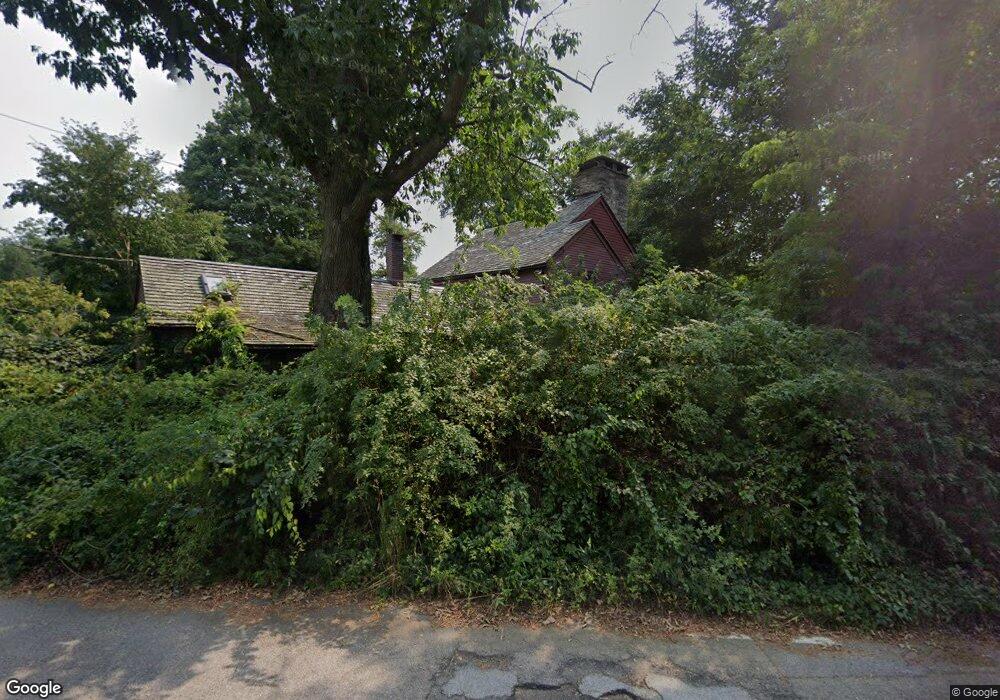
1400 Gilbert Stuart Rd Saunderstown, RI 02874
Saunderstown NeighborhoodEstimated Value: $681,000 - $729,000
About This Home
This home is located at 1400 Gilbert Stuart Rd, Saunderstown, RI 02874 and is currently estimated at $711,250, approximately $449 per square foot. 1400 Gilbert Stuart Rd is a home located in Washington County with nearby schools including Hamilton Elementary School, Wickford Middle School, and North Kingstown Sr. High School.
Ownership History
We collect this data history from publicly available records. To have your information removed, we recommend requesting removal directly through your county’s website.
Purchase Details
Purchase Details
Home Values in the Area
Average Home Value in this Area
Purchase History
We collect this data history from publicly available records. To have your information removed, we recommend requesting removal directly through your county’s website.
| Date | Buyer | Sale Price | Title Company |
|---|---|---|---|
| -- | None Available | ||
| $70,000 | -- |
Mortgage History
We collect this data history from publicly available records. To have your information removed, we recommend requesting removal directly through your county’s website.
| Date | Status | Borrower | Loan Amount |
|---|---|---|---|
| Previous Owner | $200,000 |
Tax History
We collect this data history from publicly available records. To have your information removed, we recommend requesting removal directly through your county’s website.
| Year | Tax Paid | Tax Assessment Tax Assessment Total Assessment is a certain percentage of the fair market value that is determined by local assessors to be the total taxable value of land and additions on the property. | Land | Improvement |
|---|---|---|---|---|
| 2025 | $7,115 | $644,500 | $206,100 | $438,400 |
| 2024 | $6,573 | $458,400 | $170,000 | $288,400 |
| 2023 | $6,573 | $458,400 | $170,000 | $288,400 |
| 2022 | $6,445 | $458,400 | $170,000 | $288,400 |
| 2021 | $6,302 | $360,100 | $104,400 | $255,700 |
| 2020 | $6,154 | $360,100 | $104,400 | $255,700 |
| 2019 | $6,154 | $360,100 | $104,400 | $255,700 |
| 2018 | $6,410 | $337,900 | $100,700 | $237,200 |
| 2017 | $6,282 | $337,900 | $100,700 | $237,200 |
| 2016 | $6,102 | $337,900 | $100,700 | $237,200 |
| 2015 | $6,012 | $311,500 | $100,700 | $210,800 |
| 2014 | $3,853 | $311,500 | $100,700 | $210,800 |
Map
- 2180 Tower Hill Rd
- 344 Tower Hill Rd
- 111 Mourning Dove Dr
- 130 Village Hill Ln
- 394 Westmoreland Ln
- 313 Westmoreland Ln
- 235 Holly Hills Ln
- 67 Greenwood Rd
- 258 Woodridge Dr
- 100 Snuff Mill Rd
- 299 W Allenton Rd
- 8 Sweet Fern Trail
- 0 Explorer Dr
- 210 Explorer Dr
- 90 Cardinal Dr
- 106 Pettaquamscutt Lake Rd
- 90 Sweetmeadow Dr
- 40 Fleetwood Dr
- 11 Parsley Ln
- 9 Parsley Ln
- 1405 Gilbert Stuart Rd
- 1415 Gilbert Stuart Rd
- 0 Shermantown Rd
- 2865 Tower Hill Rd
- 2020 Tower Hill Rd
- 0 Shermantown Dr
- 2053 Tower Hill Rd
- 1380 Gilbert Stuart Rd
- 21 Shermantown Rd
- 2004 Tower Hill Rd
- 1991 Tower Hill Rd
- 1354 Gilbert Stuart Rd
- 1342 Gilbert Stuart Rd
- 2000 Tower Hill Rd
- 1320 Gilbert Stuart Rd
- 2124 Tower Hill Rd
- 1315 Gilbert Stuart Rd
- 2145 Tower Hill Rd
- 570 Pendar Rd
- 1300 Gilbert Stuart Rd
Ask me questions while you tour the home.