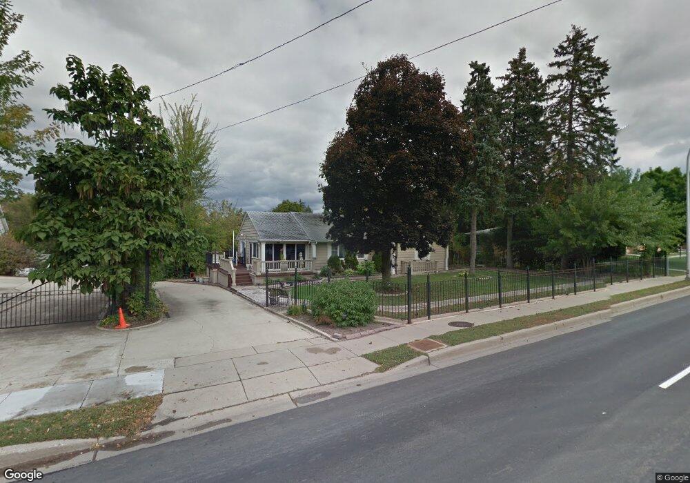
1400 Wing St Elgin, IL 60123
Northeast Elgin NeighborhoodEstimated Value: $369,000 - $466,000
2
Beds
2
Baths
1,679
Sq Ft
$252/Sq Ft
Est. Value
About This Home
This home is located at 1400 Wing St, Elgin, IL 60123 and is currently estimated at $423,589, approximately $252 per square foot. 1400 Wing St is a home located in Kane County with nearby schools including Century Oaks Elementary School, Kimball Middle School, and Larkin High School.
Ownership History
Date
Name
Owned For
Owner Type
Purchase Details
Closed on
Mar 17, 2021
Sold by
Athanasios Dimitropoulos
Bought by
Athanasios Dimitropoulos Trust and Dimitropoulos
Current Estimated Value
Purchase Details
Closed on
Dec 30, 2005
Sold by
Dimitropoulos Athanasios
Bought by
Wing Street Condominium Assn Of Elgin
Create a Home Valuation Report for This Property
The Home Valuation Report is an in-depth analysis detailing your home's value as well as a comparison with similar homes in the area
Home Values in the Area
Average Home Value in this Area
Purchase History
| Date | Buyer | Sale Price | Title Company |
|---|---|---|---|
| Athanasios Dimitropoulos Trust | -- | None Listed On Document | |
| Athanasios Dimitropoulos Trust | -- | None Listed On Document | |
| Wing Street Condominium Assn Of Elgin | $5,000 | Chicago Title Insurance Comp |
Source: Public Records
Tax History
| Year | Tax Paid | Tax Assessment Tax Assessment Total Assessment is a certain percentage of the fair market value that is determined by local assessors to be the total taxable value of land and additions on the property. | Land | Improvement |
|---|---|---|---|---|
| 2024 | $11,046 | $138,030 | $55,575 | $82,455 |
| 2023 | $10,630 | $124,700 | $50,208 | $74,492 |
| 2022 | $9,860 | $113,705 | $45,781 | $67,924 |
| 2021 | $9,484 | $106,306 | $42,802 | $63,504 |
| 2020 | $9,256 | $101,485 | $40,861 | $60,624 |
| 2019 | $9,029 | $96,671 | $38,923 | $57,748 |
| 2018 | $9,004 | $91,070 | $36,668 | $54,402 |
| 2017 | $8,855 | $86,093 | $34,664 | $51,429 |
| 2016 | $7,878 | $79,871 | $32,159 | $47,712 |
| 2015 | -- | $73,209 | $29,477 | $43,732 |
| 2014 | -- | $72,305 | $29,113 | $43,192 |
| 2013 | -- | $74,212 | $29,881 | $44,331 |
Source: Public Records
Map
Nearby Homes
- 801 N Mclean Blvd Unit 320
- 801 N Mclean Blvd Unit 118
- 801 N Mclean Blvd Unit 124
- 801 N Mclean Blvd Unit 136
- 801 N Mclean Blvd Unit 222
- 1419 Harlan Ave
- 425 N Alfred Ave
- 308 N Clifton Ave
- 530 Cumberland Trail
- 527 N Lyle Ave
- 1865 Kevin Ave Unit 5
- 221 Heine Ave
- 1840 W Highland Ave Unit E-105
- 1009 Meadow Ln
- 302 Hubbard Ave
- 506 Shenandoah Trail
- 512 Shenandoah Trail
- 356 N Airlite St Unit 356
- 2176 Jordan Ln
- 532 Shenandoah Trail
- 1450 Wwing St Unit 5B
- 1450 Wing St Unit 1A
- 1450 Wing St Unit 1B
- 1450 Wing St Unit 4B
- 1450 Wing St Unit 2A
- 1450 Wing St Unit 2B
- 1450 Wing St Unit 3A
- 1450 Wing St Unit 3B
- 1450 Wing St Unit 5B
- 1450 Wing St Unit 6A
- 1450 Wing St Unit 5A
- 1450 Wing St Unit 6B
- 1450 Wing St Unit 4A
- 1396 Wing St Unit 8
- 1396 Wing St Unit 1
- 1396 Wing St Unit 7
- 1396 Wing St Unit 6
- 1396 Wing St Unit 5
- 1396 Wing St Unit 4
- 1396 Wing St Unit 2
Your Personal Tour Guide
Ask me questions while you tour the home.