1401 Anderson Rd Richland, MO 65556
Estimated Value: $314,000 - $366,183
About This Home
This home is located at 1401 Anderson Rd, Richland, MO 65556 and is currently estimated at $343,394, approximately $163 per square foot. 1401 Anderson Rd is a home located in Camden County with nearby schools including Richland Elementary School, Richland Jr. High School, and Richland High School.
Ownership History
We collect this data history from publicly available records. To have your information removed, we recommend requesting removal directly through your county’s website.
Purchase Details
Purchase Details
Purchase History
We collect this data history from publicly available records. To have your information removed, we recommend requesting removal directly through your county’s website.
| Date | Buyer | Sale Price | Title Company |
|---|---|---|---|
| -- | None Listed On Document | ||
| -- | None Listed On Document | ||
| -- | -- |
Tax History
We collect this data history from publicly available records. To have your information removed, we recommend requesting removal directly through your county’s website.
| Year | Tax Paid | Tax Assessment Tax Assessment Total Assessment is a certain percentage of the fair market value that is determined by local assessors to be the total taxable value of land and additions on the property. | Land | Improvement |
|---|---|---|---|---|
| 2025 | $786 | $21,050 | $0 | $0 |
| 2024 | $806 | $21,050 | $0 | $0 |
| 2023 | $803 | $21,050 | $0 | $0 |
| 2022 | $801 | $21,050 | $0 | $0 |
| 2021 | $797 | $21,050 | $0 | $0 |
| 2020 | $800 | $21,050 | $0 | $0 |
| 2019 | $808 | $21,050 | $0 | $0 |
| 2018 | $808 | $21,280 | $0 | $0 |
| 2017 | $807 | $21,280 | $0 | $0 |
| 2016 | $807 | $21,280 | $0 | $0 |
| 2015 | $808 | $21,280 | $0 | $0 |
| 2014 | $801 | $21,120 | $0 | $0 |
| 2013 | -- | $21,120 | $0 | $0 |
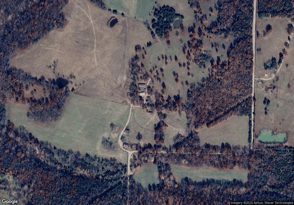
Map
- 29601 Bear Rd
- 6203 Shepherd Rd
- TBD Shepherd Rd
- 304 Trappers Trail
- 27 Pleasant Knoll Rd
- 283 Broken Post
- 271 Pleasant Knoll Rd
- 11 Flora Dr
- 8 Flora Dr
- 220 Warren St
- 810 Mildred St
- 23013 Rock Bluff Dr
- 514 O Dell Ave
- TBD SW State Route 7
- TBD Route 7
- 337 Cottonwood Branch
- 204 E Mcclurg St
- 12765 Buckeye Rd
- 112 Frisco St
- 16245 Badger Rd
Ask me questions while you tour the home.