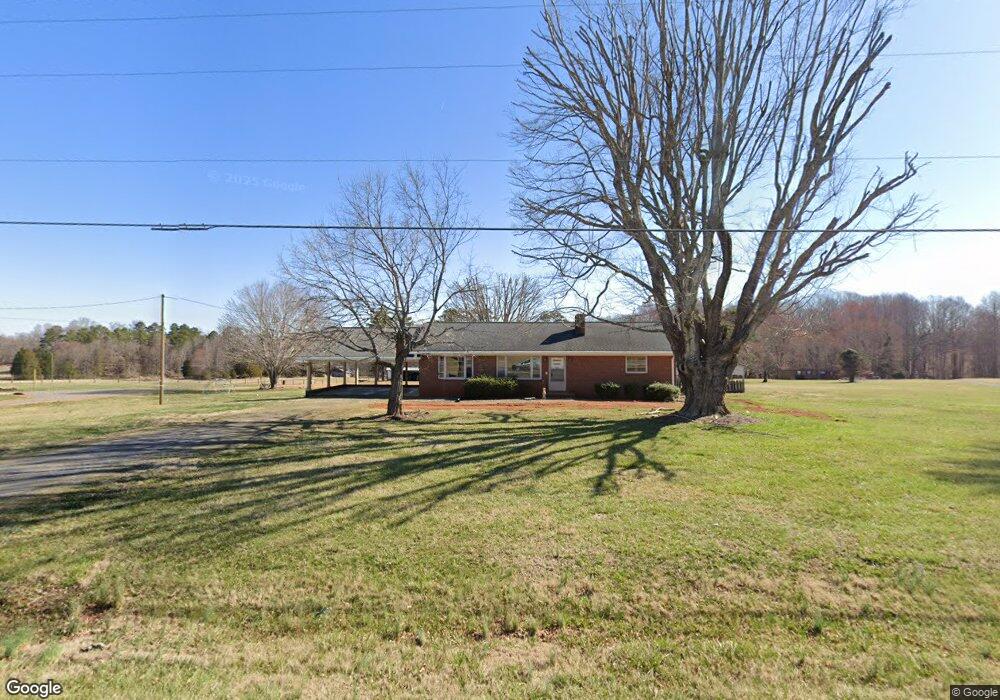
1401 Baltimore Rd Advance, NC 27006
Estimated Value: $160,000 - $262,060
3
Beds
3
Baths
1,400
Sq Ft
$153/Sq Ft
Est. Value
About This Home
This home is located at 1401 Baltimore Rd, Advance, NC 27006 and is currently estimated at $214,515, approximately $153 per square foot. 1401 Baltimore Rd is a home located in Davie County with nearby schools including Shady Grove Elementary School, William Ellis Middle School, and Davie County High School.
Ownership History
Date
Name
Owned For
Owner Type
Purchase Details
Closed on
Jun 12, 2024
Sold by
Lingle Wanda Kay Newman and Lingle Lillie Greenhill
Bought by
Nail Walter E and Nail Norma V
Current Estimated Value
Home Financials for this Owner
Home Financials are based on the most recent Mortgage that was taken out on this home.
Original Mortgage
$138,000
Outstanding Balance
$136,262
Interest Rate
7.09%
Mortgage Type
New Conventional
Estimated Equity
$78,253
Purchase Details
Closed on
Jul 1, 2000
Create a Home Valuation Report for This Property
The Home Valuation Report is an in-depth analysis detailing your home's value as well as a comparison with similar homes in the area
Purchase History
We collect this data history from publicly available records. To have your information removed, we recommend requesting removal directly through your county’s website.
| Date | Buyer | Sale Price | Title Company |
|---|---|---|---|
| Nail Walter E | $172,500 | None Listed On Document | |
| Nail Walter E | $172,500 | None Listed On Document | |
| -- | $30,000 | -- |
Source: Public Records
Mortgage History
We collect this data history from publicly available records. To have your information removed, we recommend requesting removal directly through your county’s website.
| Date | Status | Borrower | Loan Amount |
|---|---|---|---|
| Open | Nail Walter E | $138,000 | |
| Closed | Nail Walter E | $138,000 |
Source: Public Records
Tax History
| Year | Tax Paid | Tax Assessment Tax Assessment Total Assessment is a certain percentage of the fair market value that is determined by local assessors to be the total taxable value of land and additions on the property. | Land | Improvement |
|---|---|---|---|---|
| 2025 | $1,389 | $194,820 | $31,810 | $163,010 |
| 2024 | $1,125 | $141,110 | $31,810 | $109,300 |
| 2023 | $1,125 | $141,110 | $31,810 | $109,300 |
| 2022 | $1,125 | $141,110 | $31,810 | $109,300 |
| 2021 | $1,125 | $141,110 | $31,810 | $109,300 |
| 2020 | $1,021 | $127,120 | $28,130 | $98,990 |
| 2019 | $1,021 | $127,120 | $28,130 | $98,990 |
| 2018 | $989 | $127,120 | $28,130 | $98,990 |
| 2017 | $977 | $127,120 | $0 | $0 |
| 2016 | $1,007 | $130,930 | $0 | $0 |
| 2015 | $1,007 | $130,930 | $0 | $0 |
| 2014 | $865 | $130,930 | $0 | $0 |
| 2013 | -- | $130,930 | $0 | $0 |
Source: Public Records
Map
Nearby Homes
- 1723 Fork Bixby Rd
- 130 Sonora Dr
- 183 Casa Bella Dr
- 302 La Quinta Dr
- 206 James Rd
- 355 Rabbit Farm Trail
- 109 Essex Farm Rd
- 443 Rabbit Farm Trail
- 347 La Quinta Dr
- 155 Essex Farm Rd
- 247 Essex Farm Rd
- 170 Arrow Glenn Ct
- 291 Howardtown Rd
- 0 Fork Bixby Rd
- 162 Meeting House Ln
- 163 Meeting House Ln
- 107 Meeting House Ln
- 144 High Meadows Rd
- 00 Juney Beauchamp Rd
- 153 Caudle Meadows Dr
- 1393 Baltimore Rd
- 1383 Baltimore Rd
- 1413 Baltimore Rd
- 1423 Baltimore Rd
- 1430 Baltimore Rd
- 118 Princeton Ct
- 108 Princeton Ct
- 128 Princeton Ct
- 1339 Baltimore Rd
- 136 Princeton Ct
- 146 Princeton Ct
- 154 Princeton Ct
- 142 Jetry Ln
- 1332 Baltimore Rd
- 1340 Baltimore Rd
- 1323 Baltimore Rd
- 115 Princeton Ct
- 107 Princeton Ct
- 125 Princeton Ct
- 170 Princeton Ct
Your Personal Tour Guide
Ask me questions while you tour the home.