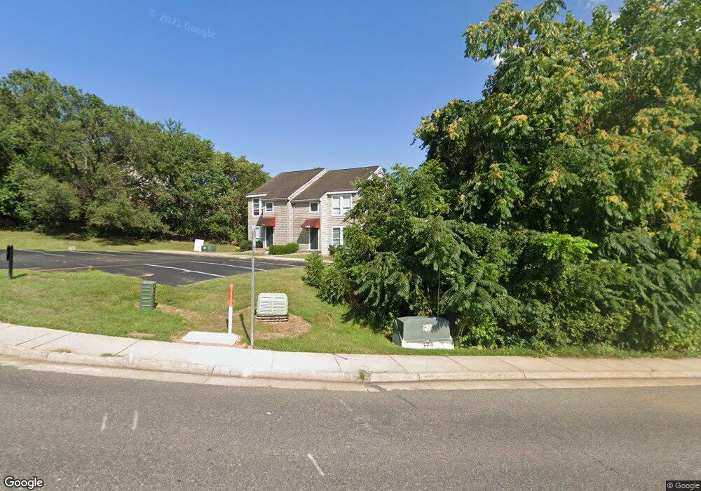
1402 Devon Ln Harrisonburg, VA 22801
Estimated Value: $247,000 - $258,037
4
Beds
2
Baths
1,504
Sq Ft
$168/Sq Ft
Est. Value
About This Home
This home is located at 1402 Devon Ln, Harrisonburg, VA 22801 and is currently estimated at $252,509, approximately $167 per square foot. 1402 Devon Ln is a home located in Harrisonburg City with nearby schools including Stone Spring Elementary School, Skyline Middle School, and Harrisonburg High School.
Ownership History
Date
Name
Owned For
Owner Type
Purchase Details
Closed on
May 18, 2023
Sold by
1402 Devon Lane Llc
Bought by
1402 Devon Lane Llc
Current Estimated Value
Purchase Details
Closed on
Sep 8, 2022
Sold by
Gmelin Markus and Gmelin Diane S
Bought by
1402 Devon Lane Llc
Home Financials for this Owner
Home Financials are based on the most recent Mortgage that was taken out on this home.
Original Mortgage
$160,000
Interest Rate
5.55%
Mortgage Type
Credit Line Revolving
Create a Home Valuation Report for This Property
The Home Valuation Report is an in-depth analysis detailing your home's value as well as a comparison with similar homes in the area
Purchase History
| Date | Buyer | Sale Price | Title Company |
|---|---|---|---|
| 1402 Devon Lane Llc | -- | None Listed On Document | |
| 1402 Devon Lane Llc | $200,000 | -- |
Source: Public Records
Mortgage History
| Date | Status | Borrower | Loan Amount |
|---|---|---|---|
| Previous Owner | 1402 Devon Lane Llc | $160,000 |
Source: Public Records
Tax History
| Year | Tax Paid | Tax Assessment Tax Assessment Total Assessment is a certain percentage of the fair market value that is determined by local assessors to be the total taxable value of land and additions on the property. | Land | Improvement |
|---|---|---|---|---|
| 2025 | $2,233 | $226,000 | $44,000 | $182,000 |
| 2024 | $2,233 | $221,100 | $44,000 | $177,100 |
| 2023 | $1,952 | $203,300 | $44,000 | $159,300 |
| 2022 | $0 | $189,700 | $44,000 | $145,700 |
| 2021 | $1,539 | $171,000 | $42,000 | $129,000 |
| 2020 | $1,426 | $162,300 | $42,000 | $120,300 |
| 2019 | $1,423 | $162,000 | $42,000 | $120,000 |
| 2018 | $1,068 | $160,800 | $42,000 | $118,800 |
| 2017 | $1,068 | $148,300 | $30,000 | $118,300 |
| 2016 | $1,068 | $148,300 | $30,000 | $118,300 |
| 2015 | $1,068 | $148,300 | $30,000 | $118,300 |
| 2014 | -- | $148,300 | $30,000 | $118,300 |
Source: Public Records
Map
Nearby Homes
- 1390 Hunters Rd Unit F
- 1430 Bradley Dr
- 1366 Hunters Rd Unit K
- 1456 Bradley Dr
- 1360 Bradley Dr
- 1340 Hunters Rd Unit D
- 675 Stone Spring Rd
- 100 Monument Ave
- 1141 Decca Dr
- 1151 Decca Dr
- 1466 Bluestone St
- 1540 Apple Ridge Ct
- 1311 Little Sorrell Dr
- 1186 Nelson Dr
- 0 Nelson Dr
- 1180B Nelson Dr
- 3.9 Ac Mt Clinton Pike
- Ave
- 1176B Nelson Dr
- 52 South Ave Unit K
Your Personal Tour Guide
Ask me questions while you tour the home.