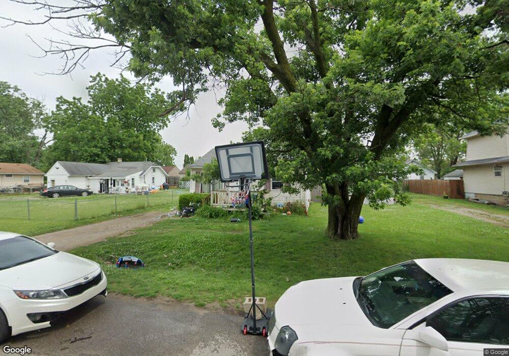
1405 E Decamp St Burton, MI 48529
South Side NeighborhoodEstimated Value: $70,194 - $92,000
2
Beds
1
Bath
766
Sq Ft
$102/Sq Ft
Est. Value
About This Home
This home is located at 1405 E Decamp St, Burton, MI 48529 and is currently estimated at $78,049, approximately $101 per square foot. 1405 E Decamp St is a home located in Genesee County with nearby schools including South Bendle Elementary School, West Bendle Elementary School, and Bendle Middle School.
Ownership History
Date
Name
Owned For
Owner Type
Purchase Details
Closed on
Sep 9, 2009
Sold by
Donovan Shaun
Bought by
Terrell Brittanie S and Lee Bryan H
Current Estimated Value
Purchase Details
Closed on
Dec 4, 2008
Sold by
Michigan State Housing Development Aurth
Bought by
The Secretary Of Housing & Urban Develop
Purchase Details
Closed on
Oct 31, 2008
Sold by
May Jennifer M
Bought by
Michigan State Housing Development Autho
Purchase Details
Closed on
Mar 8, 2002
Sold by
Reid Amy L
Bought by
May Jennifer M
Create a Home Valuation Report for This Property
The Home Valuation Report is an in-depth analysis detailing your home's value as well as a comparison with similar homes in the area
Home Values in the Area
Average Home Value in this Area
Purchase History
| Date | Buyer | Sale Price | Title Company |
|---|---|---|---|
| Terrell Brittanie S | $16,017 | None Available | |
| The Secretary Of Housing & Urban Develop | -- | None Available | |
| Michigan State Housing Development Autho | $47,674 | None Available | |
| May Jennifer M | $47,950 | Cislo Title Company |
Source: Public Records
Tax History
| Year | Tax Paid | Tax Assessment Tax Assessment Total Assessment is a certain percentage of the fair market value that is determined by local assessors to be the total taxable value of land and additions on the property. | Land | Improvement |
|---|---|---|---|---|
| 2025 | $1,031 | $30,400 | $0 | $0 |
| 2024 | $726 | $24,000 | $0 | $0 |
| 2023 | $604 | $25,700 | $0 | $0 |
| 2022 | $331 | $17,900 | $0 | $0 |
| 2021 | $162 | $19,700 | $0 | $0 |
| 2020 | $634 | $18,900 | $0 | $0 |
| 2019 | $531 | $12,800 | $0 | $0 |
| 2018 | $661 | $11,200 | $0 | $0 |
| 2017 | $641 | $11,200 | $0 | $0 |
| 2016 | $629 | $11,000 | $0 | $0 |
| 2015 | $631 | $0 | $0 | $0 |
| 2012 | -- | $10,100 | $10,100 | $0 |
Source: Public Records
Map
Nearby Homes
- 1377 Allen St
- 1391 Wells St
- 1475 Wells St
- 1453 Carman St
- 1450 Carman St
- 1483 Carman St
- 1219 Norton St
- 1233 Carman St
- 1216 E Hemphill Rd
- 1335 Connell St
- 4526 Milton Dr
- 1457 E Bristol Rd
- 612 Clinton St
- 1147 Norton St
- 717 Huron St
- 3902 Cuthbertson St
- 652 Crawford St
- 730 Alvord Ave
- 3914 Red Arrow Rd
- 846 W Hemphill Rd
- 1409 E Decamp St
- 1413 E Decamp St
- 1397 E Decamp St
- 1410 Allen St
- 1393 E Decamp St
- 1417 E Decamp St
- 1398 Allen St
- 1412 Allen St
- 1392 Allen St
- 1421 E Decamp St
- 1406 E Decamp St
- 1402 E Decamp St
- 1414 E Decamp St
- 1385 E Decamp St
- 1388 Allen St
- 1398 E Decamp St
- 1394 E Decamp St
- 1425 E Decamp St
- 1420 E Decamp St
- 1424 Allen St
Your Personal Tour Guide
Ask me questions while you tour the home.