1406 Airport Rd Vandergrift, PA 15690
Estimated Value: $182,000 - $397,000
About This Home
This home is located at 1406 Airport Rd, Vandergrift, PA 15690 and is currently estimated at $283,276, approximately $219 per square foot. 1406 Airport Rd is a home with nearby schools including Kiski Area High School.
Ownership History
We collect this data history from publicly available records. To have your information removed, we recommend requesting removal directly through your county’s website.
Purchase Details
Purchase Details
Purchase Details
Purchase Details
Home Values in the Area
Average Home Value in this Area
Purchase History
We collect this data history from publicly available records. To have your information removed, we recommend requesting removal directly through your county’s website.
| Date | Buyer | Sale Price | Title Company |
|---|---|---|---|
| $122,000 | -- | ||
| -- | -- | ||
| $110,500 | -- | ||
| $9,000 | -- |
Tax History
We collect this data history from publicly available records. To have your information removed, we recommend requesting removal directly through your county’s website.
| Year | Tax Paid | Tax Assessment Tax Assessment Total Assessment is a certain percentage of the fair market value that is determined by local assessors to be the total taxable value of land and additions on the property. | Land | Improvement |
|---|---|---|---|---|
| 2025 | $5,657 | $75,970 | $42,210 | $33,760 |
| 2024 | $5,226 | $75,970 | $42,210 | $33,760 |
| 2023 | $4,306 | $75,970 | $42,210 | $33,760 |
| 2022 | $4,306 | $75,970 | $42,210 | $33,760 |
| 2021 | $4,300 | $75,970 | $42,210 | $33,760 |
| 2020 | $4,355 | $75,970 | $42,210 | $33,760 |
| 2019 | $4,352 | $75,970 | $42,210 | $33,760 |
| 2018 | $4,267 | $60,305 | $12,080 | $48,225 |
| 2017 | $4,169 | $75,970 | $42,210 | $33,760 |
| 2016 | $4,048 | $75,970 | $42,210 | $33,760 |
| 2015 | $3,754 | $75,970 | $42,210 | $33,760 |
| 2014 | $3,754 | $75,970 | $42,210 | $33,760 |
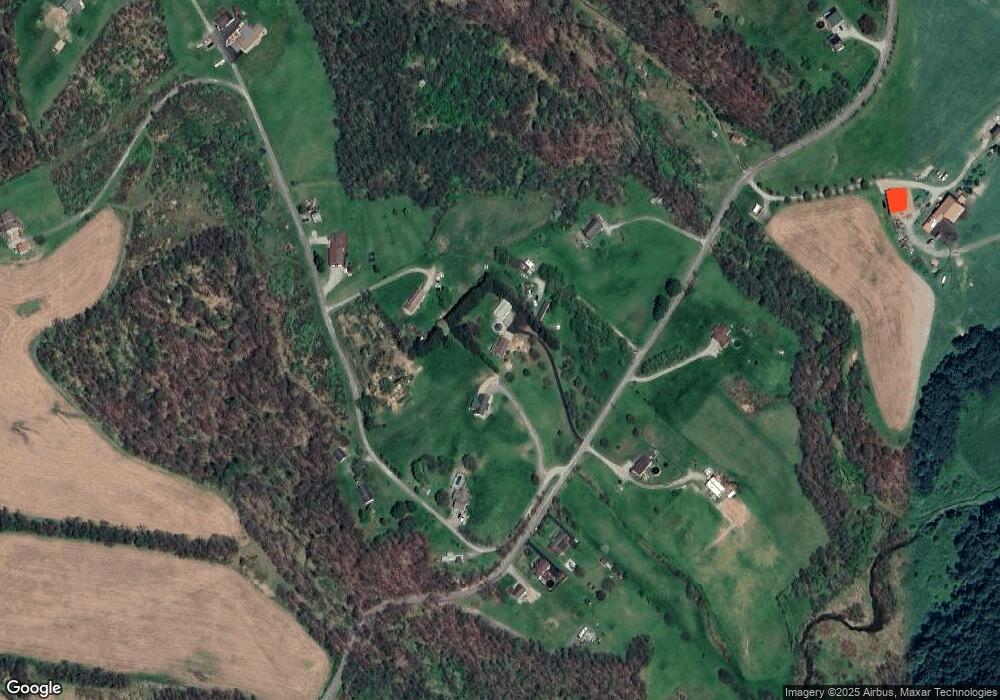
Map
- 1174 Dime Rd
- 1278 Lincoln St
- 1025 1st St
- 1116 Grant St
- 189 Sherman Ave
- 413 Center St
- 135 Farragut Ave Unit BLK4
- 247 Sherman Ave
- 800 3rd Ave
- 109 Washington Ave
- 145 Jefferson Ave
- 1878 Dime Rd
- 166 Grant Ave
- 172 Franklin Ave
- 180 Franklin Ave
- 312 Harrison Ave
- 2659 River Rd
- 202 Mckinley Ave
- 310 Chestnut St
- 400 1/2 Jackson Ave
- 1410 Airport Rd
- 1390 Airport Rd
- 1378 Airport Rd
- 1118 Fitzgerald Ln
- 1417 Airport Rd
- 1421 Airport Rd
- 1423 Airport Rd
- 1178 Fitzgerald Ln
- 1453 Airport Rd
- 1348 Airport Rd
- 1461 Airport Rd
- 1340 Airport Rd
- 1181 Fitzgerald Ln
- 1130 Coulter Ln
- 1466 Airport Rd
- R.R. #1 Airport Rd
- 1338 Airport Rd
- 1111 Frosty Hollow Ln
- 1471 Airport Rd
- 1264 Stitts Run Rd
Ask me questions while you tour the home.