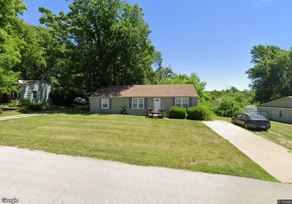
1407 Randall Rd Independence, MO 64055
Hanthorn NeighborhoodEstimated Value: $189,038 - $200,000
3
Beds
2
Baths
1,740
Sq Ft
$112/Sq Ft
Est. Value
About This Home
This home is located at 1407 Randall Rd, Independence, MO 64055 and is currently estimated at $194,760, approximately $111 per square foot. 1407 Randall Rd is a home located in Jackson County with nearby schools including Sycamore Hills Elementary School, Bridger Middle School, and Pioneer Ridge Middle School.
Ownership History
Date
Name
Owned For
Owner Type
Purchase Details
Closed on
Apr 15, 2011
Sold by
Wells Fargo Bank N A
Bought by
Coker Kathleen M and Horton Betty
Current Estimated Value
Purchase Details
Closed on
May 17, 2010
Sold by
Dowse Luther
Bought by
Wells Fargo Bank N A
Purchase Details
Closed on
Mar 28, 2005
Sold by
Smitka Mike
Bought by
Dowse Luther
Home Financials for this Owner
Home Financials are based on the most recent Mortgage that was taken out on this home.
Original Mortgage
$109,395
Interest Rate
8.55%
Mortgage Type
Purchase Money Mortgage
Purchase Details
Closed on
Oct 25, 2004
Sold by
Centex Home Equity Co Llc
Bought by
Smitka Mike
Purchase Details
Closed on
Jun 14, 2004
Sold by
Robinette David Reid and Robinette Roxanne Delene
Bought by
Centex Home Equity Co Llc and Centex Home Equity Corp
Create a Home Valuation Report for This Property
The Home Valuation Report is an in-depth analysis detailing your home's value as well as a comparison with similar homes in the area
Home Values in the Area
Average Home Value in this Area
Purchase History
We collect this data history from publicly available records. To have your information removed, we recommend requesting removal directly through your county’s website.
| Date | Buyer | Sale Price | Title Company |
|---|---|---|---|
| Coker Kathleen M | -- | None Available | |
| Wells Fargo Bank N A | $153,749 | None Available | |
| Dowse Luther | -- | Parkway Title Inc | |
| Smitka Mike | -- | First American Title Ins Co | |
| Centex Home Equity Co Llc | $53,337 | -- |
Source: Public Records
Mortgage History
We collect this data history from publicly available records. To have your information removed, we recommend requesting removal directly through your county’s website.
| Date | Status | Borrower | Loan Amount |
|---|---|---|---|
| Previous Owner | Dowse Luther | $109,395 |
Source: Public Records
Tax History
| Year | Tax Paid | Tax Assessment Tax Assessment Total Assessment is a certain percentage of the fair market value that is determined by local assessors to be the total taxable value of land and additions on the property. | Land | Improvement |
|---|---|---|---|---|
| 2025 | $1,119 | $17,965 | $6,183 | $11,782 |
| 2024 | $1,938 | $16,150 | $5,320 | $10,830 |
| 2023 | $1,938 | $28,620 | $2,827 | $25,793 |
| 2022 | $1,193 | $16,150 | $4,997 | $11,153 |
| 2021 | $1,192 | $16,150 | $4,997 | $11,153 |
| 2020 | $1,227 | $16,150 | $4,997 | $11,153 |
| 2019 | $1,208 | $16,150 | $4,997 | $11,153 |
| 2018 | $1,355 | $17,295 | $4,658 | $12,637 |
| 2017 | $1,316 | $17,295 | $4,658 | $12,637 |
| 2016 | $1,316 | $16,635 | $3,523 | $13,112 |
| 2014 | $1,250 | $16,150 | $3,420 | $12,730 |
Source: Public Records
Map
Nearby Homes
- 1311 S Crane St
- 1409 S Kings Hwy
- 1412 S Logan Ave
- 1024 E Gudgell Ave
- 718 E Gudgell Ave
- 603 E Myrtle St
- 1040 E Stone St
- 921 E Manor Rd
- 930 E Stone St
- 1103 S Kings Hwy
- 1134 S Haden St
- 520 E Fair St
- 1347 S Hocker Ave
- 1124 S Haden St
- 915 S Pope Ave
- 2800 S Woodbury Dr
- 613 E Red Rd
- 808 S Savage St
- 1842 S Drumm Ave
- 1402 S Dodgion Ave
- 1401 Randall Rd
- 1409 Randall Rd
- 1343 Randall Rd
- 1404 Randall Rd
- 1411 Randall Rd
- 1400 Randall Rd
- 1410 Randall Rd
- 1342 Randall Rd
- 1412 Randall Rd
- 1337 Randall Rd
- 1338 Randall Rd
- 1413 Randall Rd
- 1334 Randall Rd
- 1331 Randall Rd
- 1330 Randall Rd
- 1415 Randall Rd
- 1414 Randall Rd
- 1325 Randall Rd
- 1419 Randall Rd
- 1418 Randall Rd
Your Personal Tour Guide
Ask me questions while you tour the home.