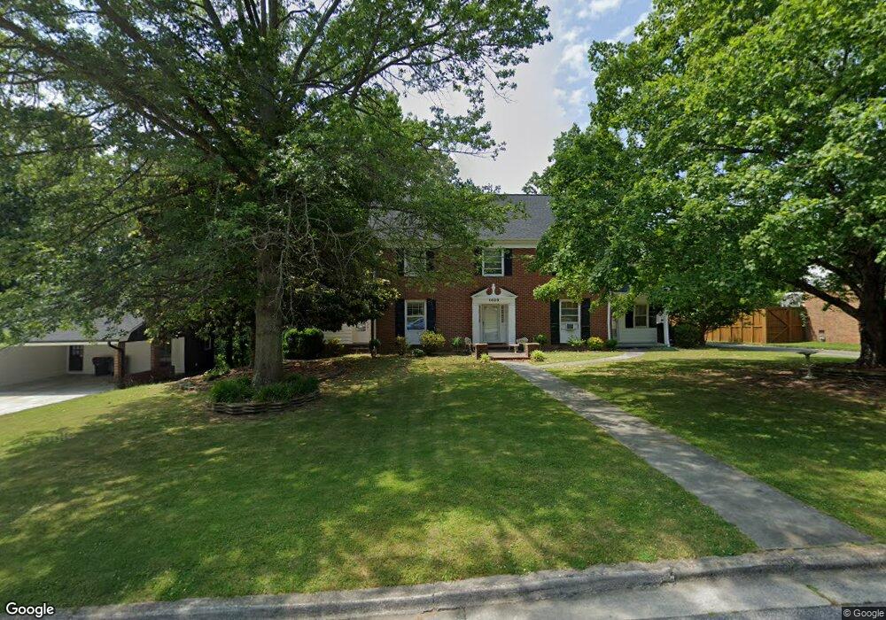
1409 Lyndhurst Dr High Point, NC 27262
Greater High Point NeighborhoodEstimated Value: $414,000 - $540,043
About This Home
This home is located at 1409 Lyndhurst Dr, High Point, NC 27262 and is currently estimated at $490,014, approximately $110 per square foot. 1409 Lyndhurst Dr is a home located in Guilford County with nearby schools including Northwood Elementary School, Ferndale Middle School, and High Point Central High School.
Ownership History
We collect this data history from publicly available records. To have your information removed, we recommend requesting removal directly through your county’s website.
Purchase Details
Home Financials for this Owner
Home Financials are based on the most recent Mortgage that was taken out on this home.Purchase Details
Home Financials for this Owner
Home Financials are based on the most recent Mortgage that was taken out on this home.Home Values in the Area
Average Home Value in this Area
Purchase History
We collect this data history from publicly available records. To have your information removed, we recommend requesting removal directly through your county’s website.
| Date | Buyer | Sale Price | Title Company |
|---|---|---|---|
| $235,000 | -- | ||
| $177,500 | -- |
Mortgage History
We collect this data history from publicly available records. To have your information removed, we recommend requesting removal directly through your county’s website.
| Date | Status | Borrower | Loan Amount |
|---|---|---|---|
| Open | $167,400 | ||
| Closed | $211,500 | ||
| Closed | $240,000 | ||
| Previous Owner | $168,625 |
Tax History
We collect this data history from publicly available records. To have your information removed, we recommend requesting removal directly through your county’s website.
| Year | Tax Paid | Tax Assessment Tax Assessment Total Assessment is a certain percentage of the fair market value that is determined by local assessors to be the total taxable value of land and additions on the property. | Land | Improvement |
|---|---|---|---|---|
| 2025 | $4,297 | $311,800 | $60,000 | $251,800 |
| 2024 | $4,297 | $311,800 | $60,000 | $251,800 |
| 2023 | $4,297 | $311,800 | $60,000 | $251,800 |
| 2022 | $4,203 | $311,800 | $60,000 | $251,800 |
| 2021 | $3,332 | $241,800 | $30,000 | $211,800 |
| 2020 | $3,332 | $241,800 | $30,000 | $211,800 |
| 2019 | $3,332 | $241,800 | $0 | $0 |
| 2018 | $3,315 | $241,800 | $0 | $0 |
| 2017 | $3,315 | $241,800 | $0 | $0 |
| 2016 | $3,283 | $234,100 | $0 | $0 |
| 2015 | $3,301 | $234,100 | $0 | $0 |
| 2014 | $3,357 | $234,100 | $0 | $0 |
Map
- 1408 Sweetbriar Ct
- 1137 Gatehouse Rd
- 1056 Cantering Rd
- 2893 Saint Giles Ct
- 2845 Saint Giles Ct
- 1112 Ferndale Blvd
- 1007 Shalimar Dr
- 1664 Brumley Ct
- 2826 Fallin Ct
- 1805 Country Club Dr
- 633 Huntington Dr
- 1207 Sturbridge Ave
- 1817 Brunswick Ct
- 503 Florham Dr
- 1007 N Rotary Dr
- 1212 Sturbridge Ave
- 1115 Rockford Rd
- 1319 Heathcliff Ct
- 1116 Wynnewood Ave
- 1105 Robin Hood Rd Unit F
- 1407 Lyndhurst Dr
- 1411 Lyndhurst Dr
- 1410 Sweetbriar Ct
- 1413 Lyndhurst Dr
- 1406 Sweetbriar Ct
- 1410 Lyndhurst Dr
- 1406 Lyndhurst Dr
- 1412 Sweetbriar Ct
- 1404 Lyndhurst Dr
- 1415 Lyndhurst Dr
- 1414 Lyndhurst Dr
- 1402 Wickliff Ave Unit Wickliff
- 1402 Wickliff Ave
- 1409 Sweetbriar Ct
- 1400 Wickliff Ave
- 1404 Wickliff Ave
- 1416 Lyndhurst Dr
- 1407 Sweetbriar Ct
- 1414 Sweetbriar Ct
- 1402 Lyndhurst Dr
Ask me questions while you tour the home.