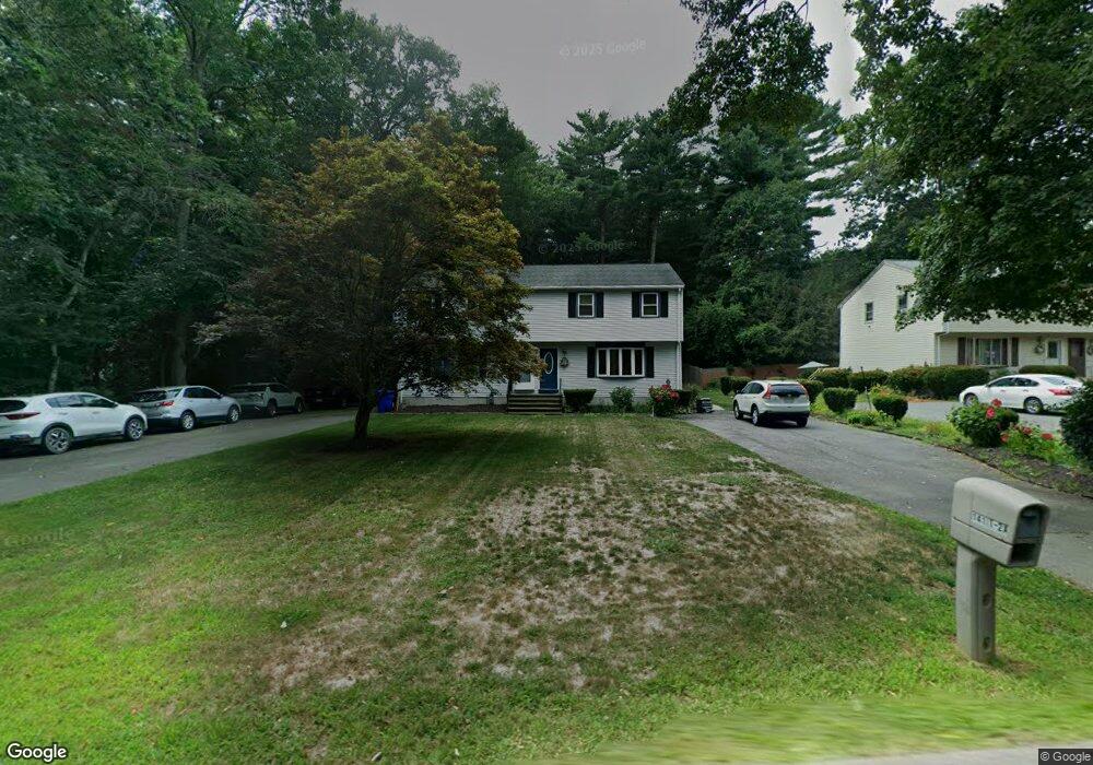
141 1/2 Williams St Unit A Taunton, MA 02780
Weir Village NeighborhoodEstimated Value: $380,000 - $429,000
3
Beds
2
Baths
1,334
Sq Ft
$304/Sq Ft
Est. Value
About This Home
This home is located at 141 1/2 Williams St Unit A, Taunton, MA 02780 and is currently estimated at $405,611, approximately $304 per square foot. 141 1/2 Williams St Unit A is a home located in Bristol County with nearby schools including Elizabeth Pole School, Taunton High School, and John F. Parker Middle School.
Ownership History
Date
Name
Owned For
Owner Type
Purchase Details
Closed on
Jun 26, 2012
Sold by
Campos Luiza
Bought by
Campos Luiza
Current Estimated Value
Purchase Details
Closed on
Nov 10, 2005
Sold by
Rebelo Joao and Rebelo Regina L
Bought by
Davis Luiza Campos
Home Financials for this Owner
Home Financials are based on the most recent Mortgage that was taken out on this home.
Original Mortgage
$145,000
Interest Rate
5.93%
Mortgage Type
Purchase Money Mortgage
Create a Home Valuation Report for This Property
The Home Valuation Report is an in-depth analysis detailing your home's value as well as a comparison with similar homes in the area
Home Values in the Area
Average Home Value in this Area
Purchase History
| Date | Buyer | Sale Price | Title Company |
|---|---|---|---|
| Campos Luiza | -- | -- | |
| Campos Luiza | -- | -- | |
| Davis Luiza Campos | $265,000 | -- | |
| Davis Luiza Campos | $265,000 | -- |
Source: Public Records
Mortgage History
| Date | Status | Borrower | Loan Amount |
|---|---|---|---|
| Previous Owner | Davis Luiza Campos | $145,000 |
Source: Public Records
Tax History
| Year | Tax Paid | Tax Assessment Tax Assessment Total Assessment is a certain percentage of the fair market value that is determined by local assessors to be the total taxable value of land and additions on the property. | Land | Improvement |
|---|---|---|---|---|
| 2025 | $3,581 | $327,300 | $0 | $327,300 |
| 2024 | $3,486 | $311,500 | $0 | $311,500 |
| 2023 | $3,360 | $278,800 | $0 | $278,800 |
| 2022 | $3,576 | $271,300 | $0 | $271,300 |
| 2021 | $2,827 | $199,100 | $0 | $199,100 |
| 2020 | $2,746 | $184,800 | $0 | $184,800 |
| 2019 | $2,912 | $184,800 | $0 | $184,800 |
| 2018 | $2,853 | $181,500 | $0 | $181,500 |
| 2017 | $2,576 | $164,000 | $0 | $164,000 |
| 2016 | $2,490 | $158,800 | $0 | $158,800 |
| 2015 | $2,291 | $152,600 | $0 | $152,600 |
| 2014 | $2,229 | $152,600 | $0 | $152,600 |
Source: Public Records
Map
Nearby Homes
- 24 Hunter St Unit A
- 174 Ashleigh Terrace
- 28 Barbara Rd
- 600 County St
- 0 Hart St Unit 73474079
- 29 Johnson St Unit C
- 29 Johnson St Unit A
- 29 Johnson St Unit B
- 27 Johnson St Unit C
- 27 Johnson St Unit A
- 27 Johnson St Unit B
- 28 Linden St
- 5 Parcels Cape Highway Route 44
- 0 Cape Highway Route 44 Unit 73474847
- 3 Karena Dr Unit 4-21
- 816 County St Unit 1-12
- 816 County St Unit 11
- 800 County St Unit 23
- 59 Linden St Unit 307
- 0 S Main St Unit 73443212
- 141 1/2 Williams St Unit B
- 141 Williams St Unit B
- 141 Williams St Unit A
- 141 Williams St
- 141A Williams St
- 141B Williams St
- 141B Williams St Unit 141 B
- 14 Cavalier Ave
- 24 Cavalier Ave
- 146 Williams St
- 0 Williams St Unit 71009335
- 0 Williams St Unit 71117826
- 000 Williams St
- 7 Sir Richards Dr
- 148 Williams St
- 0 Cavalier Ave-Lot 17 Unit 60031452
- 0 Cavalier Ave-Lot 10 Unit 60031451
- 143 Williams St
- 10 Sir Richards Dr
- 34 Cavalier Ave
Your Personal Tour Guide
Ask me questions while you tour the home.