Estimated Value: $332,594 - $458,000
Studio
--
Bath
2,058
Sq Ft
$199/Sq Ft
Est. Value
About This Home
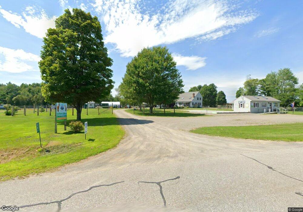
This home is located at 141 Crosby Brook Rd, Unity, ME 04988 and is currently estimated at $410,198, approximately $199 per square foot. 141 Crosby Brook Rd is a home with nearby schools including Mt. View Middle School, Mt. View High School, and Ecology Learning Center.
Ownership History
Date
Name
Owned For
Owner Type
Purchase Details
Closed on
Jun 20, 2016
Sold by
Clark Kimber L and Sebold Scott
Bought by
Pratt Corry A and Fowler-Pratt Robin
Current Estimated Value
Create a Home Valuation Report for This Property
The Home Valuation Report is an in-depth analysis detailing your home's value as well as a comparison with similar homes in the area
Purchase History
| Date | Buyer | Sale Price | Title Company |
|---|---|---|---|
| Pratt Corry A | -- | -- |
Source: Public Records
Tax History
| Year | Tax Paid | Tax Assessment Tax Assessment Total Assessment is a certain percentage of the fair market value that is determined by local assessors to be the total taxable value of land and additions on the property. | Land | Improvement |
|---|---|---|---|---|
| 2025 | $4,386 | $390,400 | $54,100 | $336,300 |
| 2024 | $4,386 | $289,500 | $40,100 | $249,400 |
| 2022 | $3,684 | $231,700 | $32,000 | $199,700 |
| 2021 | $3,742 | $231,700 | $32,000 | $199,700 |
| 2020 | $4,043 | $231,700 | $32,000 | $199,700 |
| 2019 | $4,043 | $231,700 | $32,000 | $199,700 |
| 2018 | $3,881 | $231,700 | $32,000 | $199,700 |
| 2017 | $3,858 | $231,700 | $32,000 | $199,700 |
| 2016 | $3,904 | $231,700 | $32,000 | $199,700 |
| 2014 | $3,429 | $231,700 | $32,000 | $199,700 |
| 2013 | $3,105 | $231,700 | $32,000 | $199,700 |
Source: Public Records
Map
Nearby Homes
- M11L10 Gordon Hill Rd
- M12 L31-3 Stage Coach Rd
- 156 Depot St
- 173 Main St
- Pond View Subdivision Us-202
- 23 Bangor Rd
- Lot 45-1 Maine 220
- 126 Newell Ct
- 13 Chestnut St
- 5 Chestnut St
- 391 School St
- Lot 12 Moulton Hill Ln
- Lot 13 Moulton Hill Ln
- Lot # 5 Locust Ln
- Lot 3-1 Bryant Rd
- 194 E Gulch Rd
- 39 High St
- 44 Charles Taylor Ln
- 126 Rancourt Ln
- 12 Country View Ln
- 0 Crosby Brook Rd
- 85 Crosby Brook Rd
- 80 Crosby Brook Rd
- 212 Crosby Brook Rd
- 669 Thorndike Rd
- 659 Thorndike Rd
- 92 Berry Rd
- 89 Berry Rd
- 81 Berry Rd
- 649 Thorndike Rd
- 621 Thorndike Rd
- 36 Berry Rd
- 533 Thorndike Rd
- 16 Crosby Brook Rd
- 519 Thorndike Rd
- 630 Thorndike Rd
- Lot 31-3 Crosby Brook Rd
- 19 Berry Rd
- 220 Thorndike Rd
- 0 Crosby Brook Rd
Your Personal Tour Guide
Ask me questions while you tour the home.