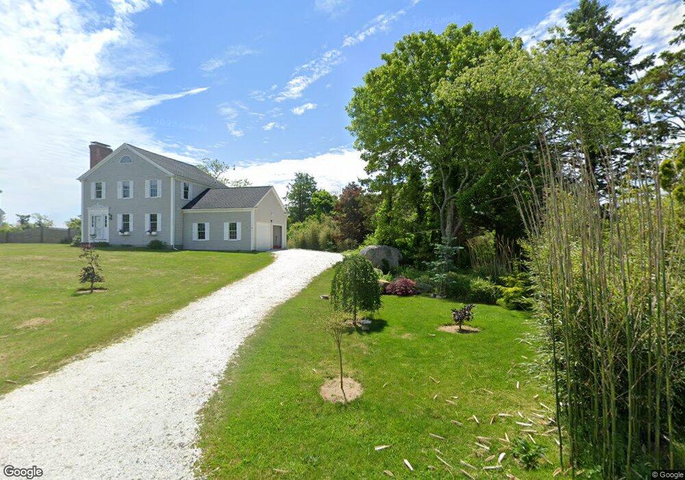
141 Harbor Point Rd Barnstable, MA 2630
Barnstable Village NeighborhoodEstimated Value: $993,944 - $1,332,000
3
Beds
2
Baths
1,878
Sq Ft
$622/Sq Ft
Est. Value
About This Home
This home is located at 141 Harbor Point Rd, Barnstable, MA 2630 and is currently estimated at $1,167,236, approximately $621 per square foot. 141 Harbor Point Rd is a home located in Barnstable County with nearby schools including West Barnstable Elementary School, Barnstable United Elementary School, and Barnstable Intermediate School.
Ownership History
Date
Name
Owned For
Owner Type
Purchase Details
Closed on
Oct 23, 2015
Sold by
Gibson Frank W
Bought by
Gibson Ft
Current Estimated Value
Purchase Details
Closed on
Jul 21, 2008
Sold by
Gibson Diane and Gibson Frank W
Bought by
Gibson Frank W
Create a Home Valuation Report for This Property
The Home Valuation Report is an in-depth analysis detailing your home's value as well as a comparison with similar homes in the area
Home Values in the Area
Average Home Value in this Area
Purchase History
| Date | Buyer | Sale Price | Title Company |
|---|---|---|---|
| Gibson Ft | -- | -- | |
| Gibson Frank W | -- | -- |
Source: Public Records
Tax History
| Year | Tax Paid | Tax Assessment Tax Assessment Total Assessment is a certain percentage of the fair market value that is determined by local assessors to be the total taxable value of land and additions on the property. | Land | Improvement |
|---|---|---|---|---|
| 2025 | $9,095 | $984,300 | $573,600 | $410,700 |
| 2024 | $8,626 | $984,700 | $573,600 | $411,100 |
| 2023 | $6,788 | $755,900 | $405,600 | $350,300 |
| 2022 | $7,184 | $643,700 | $350,400 | $293,300 |
| 2021 | $6,621 | $565,400 | $318,600 | $246,800 |
| 2020 | $6,737 | $549,500 | $332,900 | $216,600 |
| 2019 | $6,434 | $526,500 | $332,900 | $193,600 |
| 2018 | $6,550 | $520,700 | $364,400 | $156,300 |
| 2017 | $6,495 | $519,600 | $378,500 | $141,100 |
| 2016 | $6,409 | $519,800 | $378,700 | $141,100 |
| 2015 | $6,279 | $518,500 | $364,600 | $153,900 |
Source: Public Records
Map
Nearby Homes
- 30 Indian Trail
- 122 Stoney Cove Ln
- 280 Harbor Point Rd
- 280 Harbor Point Rd Unit 280
- 79 Bayberry Ln
- 4332 Main St
- 4390 Main St
- 44 Iris Ln
- 46 Route 6a
- 218 Oakmont Rd
- 97 Oakmont Dr
- 65 Oakmont Rd
- 93 Oakmont Dr Unit Lot 2
- 112 Main St
- 0 Indian Trail
- 162 Route 6a
- 100 Spy Glass Hill Rd
- 34 Maushop Ave
- 194 Route 6a
- 43 Sturgis Ln
- 161 Harbor Point Rd
- 115 Harbor Point Rd
- 129 Harbor Point Rd
- 26 Tisquantum Rd
- 70 van Duzer Rd
- 106 van Duzer Rd
- 136 Harbor Point Rd
- 59 van Duzer Rd
- 182 Harbor Point Rd
- 2 van Duzer Rd
- 69 van Duzer Rd
- 192 Harbor Point Rd
- 171 Harbor Point Rd
- 105 van Duzer Rd
- 5 van Duzer Rd
- 241 Bone Hill Rd
- 283 Bone Hill Rd
- 347 Bone Hill Rd
- 308 Bone Hill Rd
- 304 Bone Hill Rd
Your Personal Tour Guide
Ask me questions while you tour the home.