Estimated Value: $710,000 - $1,079,000
3
Beds
5
Baths
3,168
Sq Ft
$280/Sq Ft
Est. Value
About This Home
This home is located at 1410 Conservancy Ct NE, Ada, MI 49301 and is currently estimated at $887,734, approximately $280 per square foot. 1410 Conservancy Ct NE is a home located in Kent County with nearby schools including Murray Lake Elementary School, Lowell Middle School, and Lowell Senior High School.
Ownership History
Date
Name
Owned For
Owner Type
Purchase Details
Closed on
Mar 25, 2003
Sold by
Ladd Land Corp
Bought by
Nixon Dann A and Nixon Lisa G
Current Estimated Value
Home Financials for this Owner
Home Financials are based on the most recent Mortgage that was taken out on this home.
Original Mortgage
$114,300
Outstanding Balance
$49,639
Interest Rate
6.02%
Mortgage Type
Purchase Money Mortgage
Estimated Equity
$838,095
Purchase Details
Closed on
Aug 3, 2000
Bought by
Nixon Dann A and Nixon Lisa G
Create a Home Valuation Report for This Property
The Home Valuation Report is an in-depth analysis detailing your home's value as well as a comparison with similar homes in the area
Home Values in the Area
Average Home Value in this Area
Purchase History
| Date | Buyer | Sale Price | Title Company |
|---|---|---|---|
| Nixon Dann A | -- | Independent Title Svcs Inc | |
| Nixon Dann A | $65,700 | -- |
Source: Public Records
Mortgage History
| Date | Status | Borrower | Loan Amount |
|---|---|---|---|
| Open | Nixon Dann A | $114,300 |
Source: Public Records
Tax History
| Year | Tax Paid | Tax Assessment Tax Assessment Total Assessment is a certain percentage of the fair market value that is determined by local assessors to be the total taxable value of land and additions on the property. | Land | Improvement |
|---|---|---|---|---|
| 2025 | $6,230 | $434,800 | $0 | $0 |
| 2024 | $62 | $417,700 | $0 | $0 |
| 2023 | $9,056 | $385,700 | $0 | $0 |
| 2022 | $8,772 | $325,200 | $0 | $0 |
| 2021 | $8,422 | $314,500 | $0 | $0 |
| 2020 | $5,481 | $316,000 | $0 | $0 |
| 2019 | $7,287 | $309,900 | $0 | $0 |
| 2018 | $7,748 | $264,500 | $0 | $0 |
| 2017 | $7,556 | $262,500 | $0 | $0 |
| 2016 | $7,287 | $236,200 | $0 | $0 |
| 2015 | -- | $236,200 | $0 | $0 |
| 2013 | -- | $233,400 | $0 | $0 |
Source: Public Records
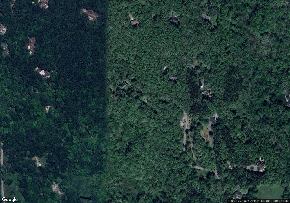
Map
Nearby Homes
- 9300 Conservation St NE
- 400 Greentree Ln NE
- 742 Honey Creek
- 8835 Vergennes St SE
- 8050 Wilderness Trail NE
- 8965 Vergennes St SE
- 8945 Vergennes St SE
- 2925 #2 Boynton Ave NE
- 2975 #4 Boynton Ave NE
- 2975 #1 Boynton Ave NE
- 2975 #3 Boynton Ave NE
- 731 Oxbow Ln SE Unit 16
- 7033 Ada Depot Dr
- 975 Dogwood Meadows Dr SE Unit 66
- 7713 Fase St SE Unit Lot 13
- 7732 Fase St SE Unit Lot 7
- 657 Greenslate Dr SE
- 643 Greenslate Dr SE
- 1224 Bridle Ct SE
- 8707 Cannonsburg Rd NE
- 8924 Conservancy Dr NE
- 1428 Conservancy Ct NE
- 9000 Conservancy Dr NE
- 9060 Conservancy Dr NE
- 1419 Conservancy Ct
- 1419 Conservancy Ct NE
- 8957 Crooked Crow Dr NE
- 9030 Conservancy Dr NE
- 9100 Conservancy Dr NE
- 8940 Conservancy Dr NE
- 1433 Conservancy Ct NE
- 9061 Crooked Crow Dr NE
- 8964 Conservancy Dr NE
- 8870 Conservancy Dr NE
- 8900 Conservancy Dr NE
- 0 Conservancy Dr NE Unit LOT 1 3360918
- 0 Conservancy Dr NE Unit LOT 1 3353447
- 0 Conservancy Dr NE Unit LOT 1 3333910
- 0 Conservancy Dr NE Unit LOT 2 3333916
- 0 Conservancy Dr NE Unit LOT 7 3333915
Your Personal Tour Guide
Ask me questions while you tour the home.