1410 Deerpath Trail Franktown, CO 80116
Estimated Value: $1,676,000 - $3,939,000
4
Beds
6
Baths
5,047
Sq Ft
$524/Sq Ft
Est. Value
About This Home
This home is located at 1410 Deerpath Trail, Franktown, CO 80116 and is currently estimated at $2,645,542, approximately $524 per square foot. 1410 Deerpath Trail is a home located in Douglas County with nearby schools including Franktown Elementary School, Sagewood Middle School, and Ponderosa High School.
Ownership History
Date
Name
Owned For
Owner Type
Purchase Details
Closed on
Mar 30, 2007
Sold by
Btj Llc
Bought by
Lowry Arthur and Lowry Shannon
Current Estimated Value
Home Financials for this Owner
Home Financials are based on the most recent Mortgage that was taken out on this home.
Original Mortgage
$224,910
Interest Rate
10.25%
Mortgage Type
Construction
Purchase Details
Closed on
Dec 28, 2006
Sold by
Griffin James Daniel
Bought by
Btj Llc
Purchase Details
Closed on
Oct 3, 1979
Sold by
Unavailable
Bought by
Unavailable
Create a Home Valuation Report for This Property
The Home Valuation Report is an in-depth analysis detailing your home's value as well as a comparison with similar homes in the area
Purchase History
| Date | Buyer | Sale Price | Title Company |
|---|---|---|---|
| Lowry Arthur | $249,900 | Land Title Guarantee Company | |
| Btj Llc | -- | None Available | |
| Unavailable | $25,000 | -- |
Source: Public Records
Mortgage History
| Date | Status | Borrower | Loan Amount |
|---|---|---|---|
| Closed | Lowry Arthur | $224,910 |
Source: Public Records
Tax History
| Year | Tax Paid | Tax Assessment Tax Assessment Total Assessment is a certain percentage of the fair market value that is determined by local assessors to be the total taxable value of land and additions on the property. | Land | Improvement |
|---|---|---|---|---|
| 2025 | $13,009 | $156,400 | $24,040 | $132,360 |
| 2024 | $13,009 | $154,640 | $28,600 | $126,040 |
| 2023 | $13,155 | $154,640 | $28,600 | $126,040 |
| 2022 | $10,187 | $121,680 | $18,160 | $103,520 |
| 2021 | $10,557 | $121,680 | $18,160 | $103,520 |
| 2020 | $9,657 | $113,890 | $16,350 | $97,540 |
| 2019 | $9,703 | $113,890 | $16,350 | $97,540 |
| 2018 | $8,906 | $102,690 | $12,690 | $90,000 |
| 2017 | $8,292 | $102,690 | $12,690 | $90,000 |
| 2016 | $7,515 | $91,260 | $9,430 | $81,830 |
| 2015 | $7,686 | $91,260 | $9,430 | $81,830 |
| 2014 | $5,014 | $111,280 | $9,150 | $102,130 |
Source: Public Records
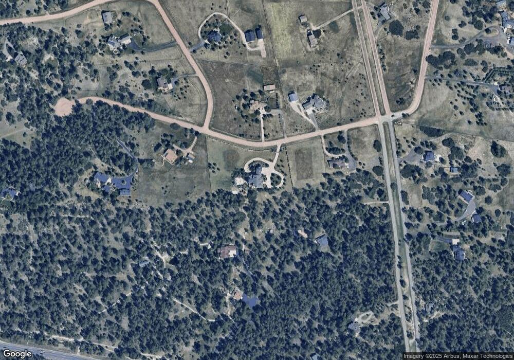
Map
Nearby Homes
- 1730 Ward Cir
- 8788 E Tanglewood Rd
- 2130 Frontier Ln
- 2218 Deerpath Rd
- 9805 Deerfield Rd
- 11011 Sunset Oaks
- 11004 Sunset Oaks Place
- 8987 Village Pines Cir
- 9212 Tanglewood Rd
- 75 Evening Hunt Rd
- 11060 Evening Hunt Rd
- 230 S Big Meadow Trail
- 11250 Running Kit Place
- 2379 Fox View Trail
- 2717 Fox View Trail
- 2741 Morning Run Ct
- 11584 E State Highway 86
- 87 Evening Hunt Rd
- 2622 Fox View Trail
- 2934 Hidden Den Ct
- 1409 Deerpath Trail
- 1486 Deerpath Trail
- 1205 Deerpath Rd
- 1501 Deerpath Trail
- 1289 Columbine Dr
- 10259 E State Highway 86
- 1276 Deerpath Trail
- 1376 Columbine Dr
- 1415 Deerpath Rd
- 1125 Deerpath Rd
- 1290 Deerpath Rd
- 1375 Columbine Dr
- 1238 Deerpath Rd
- 1390 Deerpath Rd
- 1128 Deerpath Rd
- 1493 Deerpath Rd
- 1442 Columbine Dr
- 1184 Deerpath Rd
- 1045 Deerpath Rd
- 1232 Deerpath Trail
Your Personal Tour Guide
Ask me questions while you tour the home.