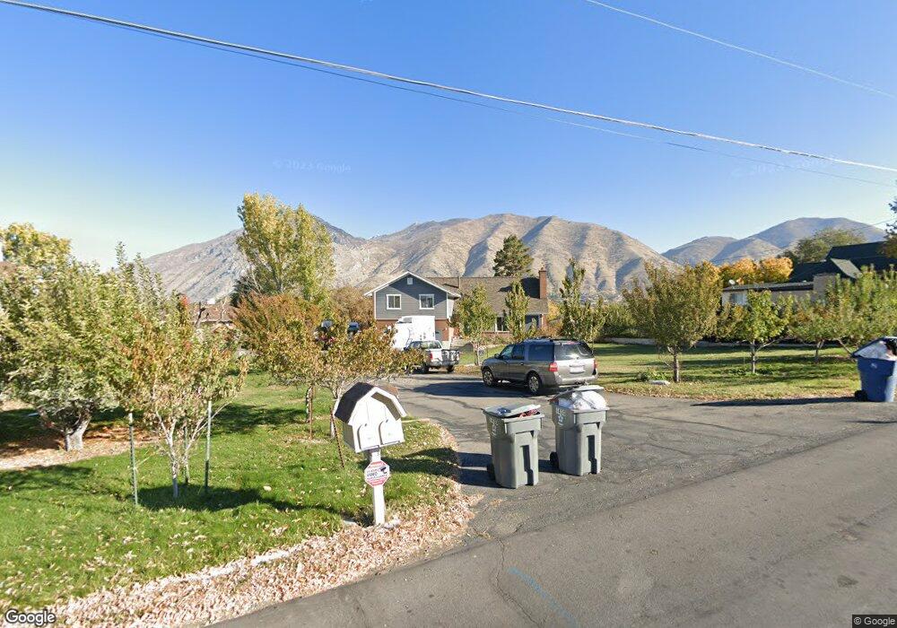
1410 W 2000 N Mapleton, UT 84664
Estimated Value: $643,959 - $717,000
5
Beds
3
Baths
2,472
Sq Ft
$278/Sq Ft
Est. Value
About This Home
This home is located at 1410 W 2000 N, Mapleton, UT 84664 and is currently estimated at $688,240, approximately $278 per square foot. 1410 W 2000 N is a home located in Utah County with nearby schools including Mapleton School, Mapleton Junior High School, and Maple Mountain High School.
Ownership History
Date
Name
Owned For
Owner Type
Purchase Details
Closed on
Feb 28, 2013
Sold by
Snyder Randy Kent and Snyder Dorseen Casey
Bought by
Snyder Michael C and Snyder Natalie T
Current Estimated Value
Purchase Details
Closed on
Feb 15, 2013
Sold by
Kennedy Leon J and Kennedy Dorothy N
Bought by
Kennedy Leon and Kennedy Dorothy
Purchase Details
Closed on
Feb 18, 2010
Sold by
Kennedy Leon and Kennedy Dorothy
Bought by
Snyder Randy Kent and Snyder Doreen Casey
Create a Home Valuation Report for This Property
The Home Valuation Report is an in-depth analysis detailing your home's value as well as a comparison with similar homes in the area
Home Values in the Area
Average Home Value in this Area
Purchase History
| Date | Buyer | Sale Price | Title Company |
|---|---|---|---|
| Snyder Michael C | -- | Magellan Title | |
| Kennedy Leon | -- | Accommodation | |
| Snyder Randy Kent | -- | Accommodation |
Source: Public Records
Tax History
| Year | Tax Paid | Tax Assessment Tax Assessment Total Assessment is a certain percentage of the fair market value that is determined by local assessors to be the total taxable value of land and additions on the property. | Land | Improvement |
|---|---|---|---|---|
| 2025 | $3,131 | $323,510 | -- | -- |
| 2024 | $3,131 | $306,680 | $0 | $0 |
| 2023 | $3,280 | $323,345 | $0 | $0 |
| 2022 | $3,621 | $352,935 | $0 | $0 |
| 2021 | $3,018 | $451,700 | $181,700 | $270,000 |
| 2020 | $2,976 | $430,800 | $160,800 | $270,000 |
| 2019 | $2,524 | $372,900 | $154,300 | $218,600 |
| 2018 | $2,244 | $315,600 | $130,000 | $185,600 |
| 2017 | $2,129 | $158,895 | $0 | $0 |
| 2016 | $1,920 | $142,450 | $0 | $0 |
| 2015 | $1,840 | $135,740 | $0 | $0 |
| 2014 | $1,844 | $133,540 | $0 | $0 |
Source: Public Records
Map
Nearby Homes
- 1403 S 625 E
- 1121 W 1800 N
- 1518 S 600 E
- 949 S 1060 E
- 1525 S 400 E Unit 36
- 899 E 800 S
- 677 E 800 South St
- 1264 E 1150 S
- 1410 W 1200 N
- 883 E 700 S
- 579 E 800 St S
- 629 E 800 St S
- 942 Sage Creek Cir
- 598 W 1600 N
- 1853 S 375 E
- 1697 N 500 W
- 405 W 1200 N Unit 4
- 487 W 1200 N Unit 1
- 645 Swenson Ave Unit 5
- 645 Swenson Ave Unit 3
Your Personal Tour Guide
Ask me questions while you tour the home.