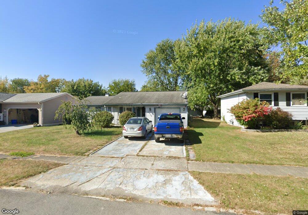
1418 Ashley Dr Marion, OH 43302
Estimated Value: $182,869 - $237,000
3
Beds
2
Baths
1,432
Sq Ft
$145/Sq Ft
Est. Value
About This Home
This home is located at 1418 Ashley Dr, Marion, OH 43302 and is currently estimated at $207,967, approximately $145 per square foot. 1418 Ashley Dr is a home located in Marion County with nearby schools including William McKinley Elementary School, Ulysses S. Grant Middle School, and Harding High School.
Ownership History
Date
Name
Owned For
Owner Type
Purchase Details
Closed on
Mar 7, 2025
Sold by
Hileman Amanda Ferne and Baker Amanda F
Bought by
Baker Amanda F
Current Estimated Value
Purchase Details
Closed on
Nov 14, 2022
Sold by
Hileman Mike
Bought by
Hileman Amanda
Purchase Details
Closed on
Mar 8, 2017
Sold by
Blair Kathy S
Bought by
Hileman Mike and Hileman Amanda
Home Financials for this Owner
Home Financials are based on the most recent Mortgage that was taken out on this home.
Original Mortgage
$90,333
Interest Rate
4.25%
Mortgage Type
FHA
Purchase Details
Closed on
Oct 14, 2011
Sold by
Bates Sharon F and Bates Grear
Bought by
Blair Kathy S
Purchase Details
Closed on
Nov 21, 2005
Sold by
White Richard G
Bought by
Sheets Melvin
Purchase Details
Closed on
Nov 5, 2002
Bought by
Blair Kathy S
Create a Home Valuation Report for This Property
The Home Valuation Report is an in-depth analysis detailing your home's value as well as a comparison with similar homes in the area
Home Values in the Area
Average Home Value in this Area
Purchase History
| Date | Buyer | Sale Price | Title Company |
|---|---|---|---|
| Baker Amanda F | -- | None Listed On Document | |
| Hileman Amanda | -- | -- | |
| Hileman Amanda | -- | None Listed On Document | |
| Hileman Mike | $92,000 | Timios Inc | |
| Blair Kathy S | -- | None Available | |
| Sheets Melvin | $92,000 | None Available | |
| Blair Kathy S | $75,000 | -- |
Source: Public Records
Mortgage History
| Date | Status | Borrower | Loan Amount |
|---|---|---|---|
| Previous Owner | Hileman Mike | $90,333 |
Source: Public Records
Tax History
| Year | Tax Paid | Tax Assessment Tax Assessment Total Assessment is a certain percentage of the fair market value that is determined by local assessors to be the total taxable value of land and additions on the property. | Land | Improvement |
|---|---|---|---|---|
| 2025 | $2,032 | $53,670 | $6,800 | $46,870 |
| 2024 | $2,032 | $43,010 | $6,460 | $36,550 |
| 2023 | $2,032 | $43,010 | $6,460 | $36,550 |
| 2022 | $1,493 | $43,010 | $6,460 | $36,550 |
| 2021 | $1,373 | $35,580 | $5,620 | $29,960 |
| 2020 | $1,373 | $35,580 | $5,620 | $29,960 |
| 2019 | $1,372 | $35,580 | $5,620 | $29,960 |
| 2018 | $1,124 | $29,160 | $5,660 | $23,500 |
| 2017 | $1,138 | $29,160 | $5,660 | $23,500 |
| 2016 | $1,132 | $29,160 | $5,660 | $23,500 |
| 2015 | $1,129 | $28,460 | $5,390 | $23,070 |
| 2014 | $1,131 | $28,460 | $5,390 | $23,070 |
| 2012 | $1,061 | $26,520 | $5,170 | $21,350 |
Source: Public Records
Map
Nearby Homes
- 1316 Hickory Dr
- 1348 Hickory Dr
- 1025 Congress St
- 1401 Crissinger Rd
- 839 Merkle Ave
- 982 Oak Grove Ave
- 780 Sheridan Rd
- 863 Congress St
- 1014 Henry St
- 597 Clinton St
- 793 Congress St
- 981 Davids St
- 512 Swiss Dr
- 472 Clinton St
- 645 Henry St
- 681 Davids St
- 804 Vancouver Dr
- 589 Uncapher Ave
- 579 Henry St
- 358 Nye St
- 1410 Ashley Dr
- 1426 Ashley Dr
- 1090 Amherst Dr
- 1444 Ashley Dr
- 422 Federal Way
- 1082 Amherst Dr
- 1402 Ashley Dr
- 1415 Ashley Dr
- 1421 Ashley Dr
- 1407 Ashley Dr
- 1429 Ashley Dr
- 1401 Ashley Dr
- 1384 Ashley Dr
- 1401 Ashley Dr
- 1437 Ashley Dr
- 1107 Amherst Dr
- 1074 Amherst Dr
- 1115 Amherst Dr
- 1099 Amherst Dr
- 1409 Rodney Dr
Your Personal Tour Guide
Ask me questions while you tour the home.