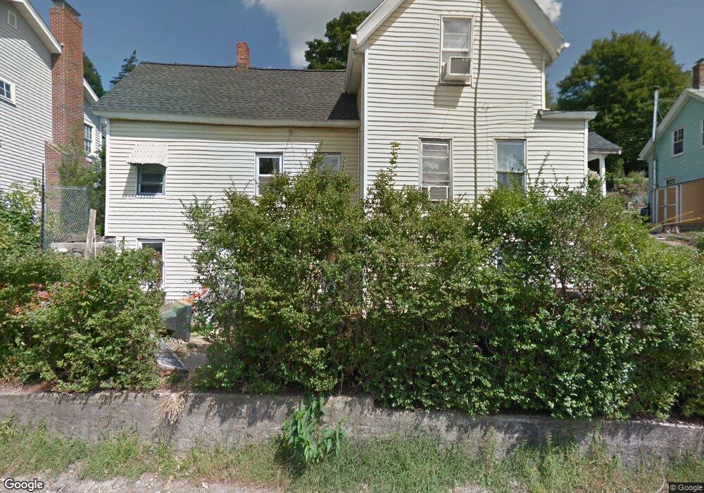
142 Common St Quincy, MA 02169
South Quincy NeighborhoodEstimated Value: $581,000 - $622,000
3
Beds
1
Bath
1,279
Sq Ft
$471/Sq Ft
Est. Value
About This Home
This home is located at 142 Common St, Quincy, MA 02169 and is currently estimated at $602,814, approximately $471 per square foot. 142 Common St is a home located in Norfolk County with nearby schools including Lincoln-Hancock Community School, South West Middle School, and Quincy High School.
Ownership History
Date
Name
Owned For
Owner Type
Purchase Details
Closed on
Mar 10, 1995
Sold by
Luckhardt Stanley C
Bought by
Henkin Benjamin and Henkin Sherryl I
Current Estimated Value
Purchase Details
Closed on
Jul 25, 1988
Sold by
Luckhardt Stanley C
Bought by
Luckhardt Stanley C
Create a Home Valuation Report for This Property
The Home Valuation Report is an in-depth analysis detailing your home's value as well as a comparison with similar homes in the area
Home Values in the Area
Average Home Value in this Area
Purchase History
| Date | Buyer | Sale Price | Title Company |
|---|---|---|---|
| Henkin Benjamin | $101,000 | -- | |
| Luckhardt Stanley C | $81,800 | -- |
Source: Public Records
Mortgage History
| Date | Status | Borrower | Loan Amount |
|---|---|---|---|
| Open | Luckhardt Stanley C | $132,000 | |
| Closed | Luckhardt Stanley C | $103,000 | |
| Closed | Luckhardt Stanley C | $18,500 |
Source: Public Records
Tax History
| Year | Tax Paid | Tax Assessment Tax Assessment Total Assessment is a certain percentage of the fair market value that is determined by local assessors to be the total taxable value of land and additions on the property. | Land | Improvement |
|---|---|---|---|---|
| 2025 | $6,114 | $530,300 | $313,000 | $217,300 |
| 2024 | $5,714 | $507,000 | $298,200 | $208,800 |
| 2023 | $5,625 | $505,400 | $284,100 | $221,300 |
| 2022 | $5,320 | $444,100 | $227,400 | $216,700 |
| 2021 | $5,042 | $415,300 | $227,400 | $187,900 |
| 2020 | $4,920 | $395,800 | $227,400 | $168,400 |
| 2019 | $4,851 | $386,500 | $220,900 | $165,600 |
| 2018 | $4,714 | $353,400 | $204,600 | $148,800 |
| 2017 | $4,712 | $332,500 | $194,900 | $137,600 |
| 2016 | $4,387 | $305,500 | $177,300 | $128,200 |
| 2015 | $4,149 | $284,200 | $167,300 | $116,900 |
| 2014 | $4,070 | $273,900 | $167,300 | $106,600 |
Source: Public Records
Map
Nearby Homes
- 39 Cross St
- 40 Cross St Unit 1
- 211 Copeland St
- 230 Willard St Unit 102
- 230 Willard St Unit 207
- 149 Reservoir Rd
- 312 Adams St
- 84 West St Unit 1
- 21 Arthur St
- 580 Quarry St Unit 13
- 91 Garfield St
- 510 Willard St
- 9 Westford St
- 132 Centre St
- 165 Whitwell St
- 156 West St
- 52 Packards Ln Unit 4
- 59 Packards Ln Unit 5
- 59 Packards Ln Unit 1
- 59 Packards Ln Unit 3
- 138 Common St
- 138 Common St Unit 2
- 148 Common St
- 136R Common St
- 2 Filbert St
- 2 Filbert St Unit 1
- 2 Filbert St Unit 4
- 2 Filbert St Unit 3
- 2 Filbert St Unit 2
- 24 Dunns Hill Rd
- 154 Common St
- 19 Filbert St
- 143 Common St
- 137 Common St
- 149 Common St
- 00 Dunns Hill
- 15 Dunns Hill Rd
- 23 Dunns Hill Rd
- 133 Common St
- 14 Filbert St
Your Personal Tour Guide
Ask me questions while you tour the home.