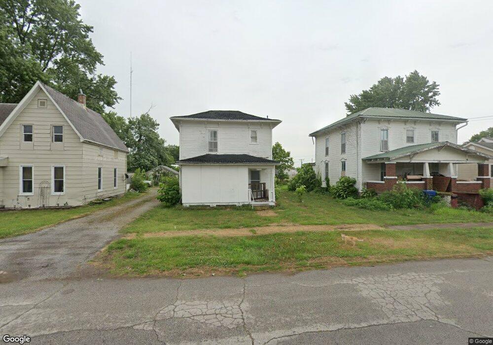
142 E Robard St Brookfield, MO 64628
Estimated Value: $76,000 - $132,505
3
Beds
1
Bath
936
Sq Ft
$112/Sq Ft
Est. Value
About This Home
This home is located at 142 E Robard St, Brookfield, MO 64628 and is currently estimated at $104,876, approximately $112 per square foot. 142 E Robard St is a home located in Linn County with nearby schools including Brookfield Elementary School, Brookfield Middle School, and Brookfield High School.
Ownership History
Date
Name
Owned For
Owner Type
Purchase Details
Closed on
May 11, 2021
Sold by
Blackman Madeline R
Bought by
Anders Scott A
Current Estimated Value
Home Financials for this Owner
Home Financials are based on the most recent Mortgage that was taken out on this home.
Original Mortgage
$55,900
Outstanding Balance
$45,766
Interest Rate
3.1%
Mortgage Type
Construction
Estimated Equity
$59,110
Purchase Details
Closed on
Nov 16, 2010
Bought by
Blackman Madeline
Create a Home Valuation Report for This Property
The Home Valuation Report is an in-depth analysis detailing your home's value as well as a comparison with similar homes in the area
Home Values in the Area
Average Home Value in this Area
Purchase History
| Date | Buyer | Sale Price | Title Company |
|---|---|---|---|
| Anders Scott A | $69,875 | -- | |
| Blackman Madeline | -- | -- |
Source: Public Records
Mortgage History
| Date | Status | Borrower | Loan Amount |
|---|---|---|---|
| Open | Anders Scott A | $55,900 |
Source: Public Records
Tax History
| Year | Tax Paid | Tax Assessment Tax Assessment Total Assessment is a certain percentage of the fair market value that is determined by local assessors to be the total taxable value of land and additions on the property. | Land | Improvement |
|---|---|---|---|---|
| 2025 | $582 | $9,701 | $1,102 | $8,599 |
| 2024 | $6 | $9,291 | $1,102 | $8,189 |
| 2023 | $580 | $9,291 | $1,102 | $8,189 |
| 2022 | $561 | $8,949 | $1,102 | $7,847 |
| 2021 | $541 | $8,949 | $1,102 | $7,847 |
| 2020 | $432 | $6,878 | $1,102 | $5,776 |
| 2019 | $432 | $6,878 | $1,102 | $5,776 |
| 2018 | $421 | $6,745 | $912 | $5,833 |
| 2015 | -- | $6,612 | $665 | $5,947 |
| 2011 | -- | $18,700 | $3,500 | $15,200 |
Source: Public Records
Map
Nearby Homes
- 408 Market St
- 140 E Robard St
- 145 E Robard St
- 200 E Robard St
- 416 Market St
- 138 E Robard St
- 413 Market St
- 137 E Robard St
- 422 Market St
- 316 Market St
- 135 E Robard St
- 419 Market St
- 426 Market St
- 216 E Robard St
- 128 E Robard St
- 427 Market St
- 127 E Robard St
- 432 Market St
- 215 E Robard St
- 124 E Robard St
Your Personal Tour Guide
Ask me questions while you tour the home.