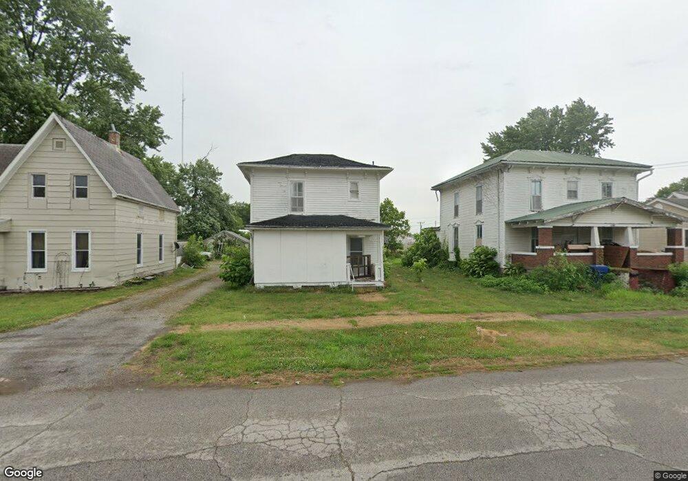
142 E Robard St Brookfield, MO 64628
Estimated Value: $82,000 - $127,193
About This Home
This home is located at 142 E Robard St, Brookfield, MO 64628 and is currently estimated at $104,798, approximately $111 per square foot. 142 E Robard St is a home located in Linn County with nearby schools including Brookfield Elementary School, Brookfield Middle School, and Brookfield High School.
Ownership History
We collect this data history from publicly available records. To have your information removed, we recommend requesting removal directly through your county’s website.
Purchase Details
Home Financials for this Owner
Home Financials are based on the most recent Mortgage that was taken out on this home.Purchase Details
Home Values in the Area
Average Home Value in this Area
Purchase History
We collect this data history from publicly available records. To have your information removed, we recommend requesting removal directly through your county’s website.
| Date | Buyer | Sale Price | Title Company |
|---|---|---|---|
| $69,875 | -- | ||
| -- | -- |
Mortgage History
We collect this data history from publicly available records. To have your information removed, we recommend requesting removal directly through your county’s website.
| Date | Status | Borrower | Loan Amount |
|---|---|---|---|
| Open | $55,900 |
Tax History
We collect this data history from publicly available records. To have your information removed, we recommend requesting removal directly through your county’s website.
| Year | Tax Paid | Tax Assessment Tax Assessment Total Assessment is a certain percentage of the fair market value that is determined by local assessors to be the total taxable value of land and additions on the property. | Land | Improvement |
|---|---|---|---|---|
| 2025 | $610 | $9,701 | $1,102 | $8,599 |
| 2024 | $6 | $9,291 | $1,102 | $8,189 |
| 2023 | $580 | $9,291 | $1,102 | $8,189 |
| 2022 | $561 | $8,949 | $1,102 | $7,847 |
| 2021 | $541 | $8,949 | $1,102 | $7,847 |
| 2020 | $432 | $6,878 | $1,102 | $5,776 |
| 2019 | $432 | $6,878 | $1,102 | $5,776 |
| 2018 | $421 | $6,745 | $912 | $5,833 |
| 2015 | -- | $6,612 | $665 | $5,947 |
| 2011 | -- | $18,700 | $3,500 | $15,200 |
Map
- 117 E Clark St
- 412 S Main St
- 415 S Livingston St
- 430 S Livingston St
- 419 Nichols St
- 303 Shelby St
- 316 Macon St
- 750 S Main St
- 515 Shelby St
- 101 W Circle Dr
- 126 E Circle Dr
- 721 Lincoln St
- 1009 Brookfield Ave
- 627 Mcgowan St
- 1101 Sunset Hill Rd
- 816 Mcgowan St
- 24237 Husk Rd
- 27022 Index Dr
- 1207 Hilltop Dr
- 27152 Joiner Dr
- 408 Market St
- 140 E Robard St
- 145 E Robard St
- 200 E Robard St
- 416 Market St
- 138 E Robard St
- 413 Market St
- 137 E Robard St
- 422 Market St
- 316 Market St
- 135 E Robard St
- 419 Market St
- 426 Market St
- 216 E Robard St
- 128 E Robard St
- 427 Market St
- 127 E Robard St
- 432 Market St
- 215 E Robard St
- 124 E Robard St
Ask me questions while you tour the home.