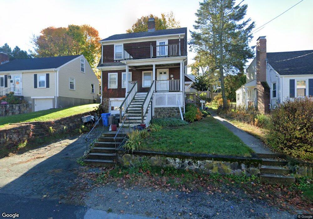
142 Florence Rd Waltham, MA 02453
Cedarwood NeighborhoodEstimated Value: $719,274 - $761,000
About This Home
This home is located at 142 Florence Rd, Waltham, MA 02453 and is currently estimated at $745,069, approximately $573 per square foot. 142 Florence Rd is a home located in Middlesex County with nearby schools including William F. Stanley Elementary School, John W. Mcdevitt Middle School, and Waltham Sr High School.
Ownership History
We collect this data history from publicly available records. To have your information removed, we recommend requesting removal directly through your county’s website.
Purchase Details
Home Financials for this Owner
Home Financials are based on the most recent Mortgage that was taken out on this home.Home Values in the Area
Average Home Value in this Area
Purchase History
We collect this data history from publicly available records. To have your information removed, we recommend requesting removal directly through your county’s website.
| Date | Buyer | Sale Price | Title Company |
|---|---|---|---|
| $183,000 | -- |
Mortgage History
We collect this data history from publicly available records. To have your information removed, we recommend requesting removal directly through your county’s website.
| Date | Status | Borrower | Loan Amount |
|---|---|---|---|
| Open | $196,000 | ||
| Closed | $177,000 | ||
| Closed | $173,850 | ||
| Previous Owner | $131,500 |
Tax History
We collect this data history from publicly available records. To have your information removed, we recommend requesting removal directly through your county’s website.
| Year | Tax Paid | Tax Assessment Tax Assessment Total Assessment is a certain percentage of the fair market value that is determined by local assessors to be the total taxable value of land and additions on the property. | Land | Improvement |
|---|---|---|---|---|
| 2025 | $6,204 | $631,800 | $378,000 | $253,800 |
| 2024 | $5,997 | $622,100 | $371,000 | $251,100 |
| 2023 | $5,896 | $571,300 | $336,000 | $235,300 |
| 2022 | $5,928 | $532,100 | $308,000 | $224,100 |
| 2021 | $5,906 | $521,700 | $308,000 | $213,700 |
| 2020 | $5,783 | $483,900 | $287,000 | $196,900 |
| 2019 | $5,491 | $433,700 | $270,600 | $163,100 |
| 2018 | $1,228 | $396,800 | $250,600 | $146,200 |
| 2017 | $4,702 | $374,400 | $228,200 | $146,200 |
| 2016 | $4,531 | $370,200 | $224,000 | $146,200 |
| 2015 | $4,346 | $331,000 | $196,000 | $135,000 |
Map
- 122 Milton St
- 42 Virginia Rd
- 293 Florence Rd
- 50 Stow St
- 10 University Park
- 6 Virginia Rd
- 200 Weston St
- 1180 Main St Unit 2
- 32 Eddy St Unit 3
- 5 Summer St
- 55 Forest Ridge Rd
- 1 Graystone Ln
- 32 Dartmouth St
- 40 Hobbs Brook Rd
- 55-57 Bedford St
- 218 South St Unit 9
- 32 Vernon St
- 130 Summer St
- 20 Elson Rd
- 105 Summer St
- 138 Florence Rd
- 146 Florence Rd
- 134 Florence Rd
- 150 Florence Rd
- 125 Virginia Rd
- 133 Virginia Rd
- 123 Virginia Rd
- 141 Florence Rd
- 130 Florence Rd
- 137 Florence Rd
- 137 Virginia Rd
- 137 Virginia Rd
- 137 Virginia Rd Unit 137
- 137 Virginia Rd Unit 1
- 145 Florence Rd
- 156 Florence Rd
- 135 Florence Rd
- 117 Virginia Rd
- 149 Florence Rd
- 141 Virginia Rd
Ask me questions while you tour the home.