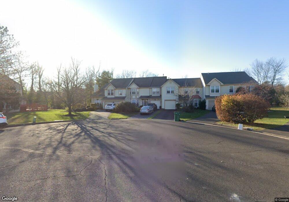
142 Sequoia Dr Newtown, PA 18940
Estimated Value: $601,000 - $637,000
4
Beds
3
Baths
2,304
Sq Ft
$267/Sq Ft
Est. Value
About This Home
This home is located at 142 Sequoia Dr, Newtown, PA 18940 and is currently estimated at $615,086, approximately $266 per square foot. 142 Sequoia Dr is a home located in Bucks County with nearby schools including Newtown Elementary School, Newtown Middle School, and Council Rock High School North.
Ownership History
Date
Name
Owned For
Owner Type
Purchase Details
Closed on
Jun 1, 1994
Sold by
Batten Wayne C and Batten Kim R
Bought by
Werbo Lorri D and Summers Barry W
Current Estimated Value
Home Financials for this Owner
Home Financials are based on the most recent Mortgage that was taken out on this home.
Original Mortgage
$138,150
Interest Rate
8.5%
Create a Home Valuation Report for This Property
The Home Valuation Report is an in-depth analysis detailing your home's value as well as a comparison with similar homes in the area
Home Values in the Area
Average Home Value in this Area
Purchase History
| Date | Buyer | Sale Price | Title Company |
|---|---|---|---|
| Werbo Lorri D | $153,500 | -- |
Source: Public Records
Mortgage History
| Date | Status | Borrower | Loan Amount |
|---|---|---|---|
| Previous Owner | Werbo Lorri D | $138,150 |
Source: Public Records
Tax History
| Year | Tax Paid | Tax Assessment Tax Assessment Total Assessment is a certain percentage of the fair market value that is determined by local assessors to be the total taxable value of land and additions on the property. | Land | Improvement |
|---|---|---|---|---|
| 2025 | $5,900 | $33,200 | $3,560 | $29,640 |
| 2024 | $5,900 | $33,200 | $3,560 | $29,640 |
| 2023 | $5,645 | $33,200 | $3,560 | $29,640 |
| 2022 | $5,536 | $33,200 | $3,560 | $29,640 |
| 2021 | $5,450 | $33,200 | $3,560 | $29,640 |
| 2020 | $5,188 | $33,200 | $3,560 | $29,640 |
| 2019 | $5,065 | $33,200 | $3,560 | $29,640 |
| 2018 | $4,969 | $33,200 | $3,560 | $29,640 |
| 2017 | $4,796 | $33,200 | $3,560 | $29,640 |
| 2016 | $4,763 | $33,200 | $3,560 | $29,640 |
| 2015 | -- | $33,200 | $3,560 | $29,640 |
| 2014 | -- | $33,200 | $3,560 | $29,640 |
Source: Public Records
Map
Nearby Homes
- 6 Susanna Way
- 41 Laurel Cir
- 3206 Society Place
- 438 Durham Rd
- 301 Society Place Unit A1
- 805 Society Place Unit 8H1
- 35 Rittenhouse Cir
- 7 Augusta Dr
- 82 Honey Locust Ln
- 0 Augusta Dr Unit KINGSWOOD
- 0 Augusta Dr Unit MAYWEATHER
- 0 Augusta Dr Unit RAINTREE
- 0 Augusta Dr Unit CLOVERFIELD
- 0 Augusta Dr Unit ROLLINS
- 0 Augusta Dr Unit LANEY
- 2 Eagleton Farm Rd
- 19 Augusta Dr
- 288 Jane Chapman Dr E Unit E
- 20 Augusta Dr
- 21 Augusta Dr
Your Personal Tour Guide
Ask me questions while you tour the home.