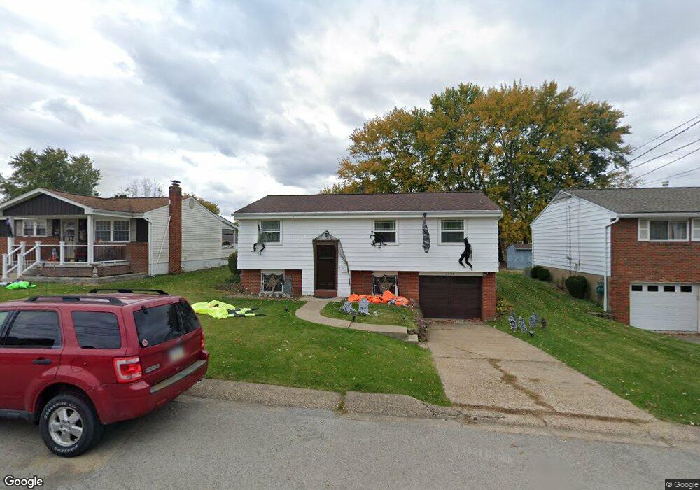
1420 Sampson St Conway, PA 15027
Estimated Value: $206,000 - $229,000
2
Beds
2
Baths
912
Sq Ft
$242/Sq Ft
Est. Value
About This Home
This home is located at 1420 Sampson St, Conway, PA 15027 and is currently estimated at $220,522, approximately $241 per square foot. 1420 Sampson St is a home located in Beaver County with nearby schools including Freedom Area Elementary School, Freedom Area Middle School, and Freedom Area Senior High School.
Ownership History
Date
Name
Owned For
Owner Type
Purchase Details
Closed on
Jul 9, 2001
Sold by
Tackac Richard G
Bought by
Ross Steven M
Current Estimated Value
Home Financials for this Owner
Home Financials are based on the most recent Mortgage that was taken out on this home.
Original Mortgage
$91,774
Outstanding Balance
$35,522
Interest Rate
7.2%
Mortgage Type
Purchase Money Mortgage
Estimated Equity
$185,000
Create a Home Valuation Report for This Property
The Home Valuation Report is an in-depth analysis detailing your home's value as well as a comparison with similar homes in the area
Home Values in the Area
Average Home Value in this Area
Purchase History
| Date | Buyer | Sale Price | Title Company |
|---|---|---|---|
| Ross Steven M | $92,500 | -- |
Source: Public Records
Mortgage History
| Date | Status | Borrower | Loan Amount |
|---|---|---|---|
| Open | Ross Steven M | $91,774 |
Source: Public Records
Tax History
| Year | Tax Paid | Tax Assessment Tax Assessment Total Assessment is a certain percentage of the fair market value that is determined by local assessors to be the total taxable value of land and additions on the property. | Land | Improvement |
|---|---|---|---|---|
| 2025 | $671 | $91,400 | $16,700 | $74,700 |
| 2024 | $3,131 | $91,400 | $16,700 | $74,700 |
| 2023 | $2,526 | $20,550 | $3,650 | $16,900 |
| 2022 | $2,454 | $20,550 | $3,650 | $16,900 |
| 2021 | $2,454 | $20,550 | $3,650 | $16,900 |
| 2020 | $2,287 | $20,550 | $3,650 | $16,900 |
| 2019 | $2,287 | $20,550 | $3,650 | $16,900 |
| 2018 | $2,199 | $20,550 | $3,650 | $16,900 |
| 2017 | $2,199 | $20,550 | $3,650 | $16,900 |
| 2016 | $2,006 | $20,550 | $3,650 | $16,900 |
| 2015 | $447 | $20,550 | $3,650 | $16,900 |
| 2014 | $447 | $20,550 | $3,650 | $16,900 |
Source: Public Records
Map
Nearby Homes
- 245 Conway Wallrose Rd
- 1227 Porter St
- 1079 Catherine Dr
- 1508 Dupont St
- 1025 Catherine Dr
- 744 N Gross St
- 450 Knollwood Cir
- 500 Conway Wallrose Rd
- 1203 2nd Ave
- 155 Sproat Ave
- 1001 2nd Ave
- 580 Tevebaugh Hollow Rd
- 149 Shady River Blvd Unit 40 B
- 328 River Ridge Ct Unit 47B
- 300 River Ridge Ct
- 154 Shady River Blvd
- 150 Shady River Blvd Unit 56A
- Freedom Crider Rd
- 1530 6th Ave
- 0 Orchard Ave Unit 1725623
- 0 Sampson St
- 1412 Sampson St
- 1428 Sampson St
- 1421 Sampson St
- 1417 Sampson St
- 1425 Sampson St
- 1408 Sampson St
- 1413 Sampson St
- 1450 Sampson St
- 1429 Sampson St
- 1432 Sampson St
- 1409 Sampson St
- 1433 Sampson St
- 1404 Sampson St
- 1201 15th St
- 1405 Sampson St
- 1400 Sampson St
- 1401 Sampson St
- 1420 Chaplin St
- 1416 Chaplin St
Your Personal Tour Guide
Ask me questions while you tour the home.