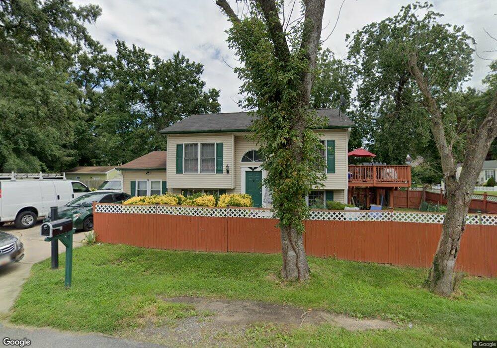
14203 Waggaman Ave Laurel, MD 20707
South Laurel NeighborhoodEstimated Value: $360,000 - $462,000
Studio
2
Baths
1,116
Sq Ft
$379/Sq Ft
Est. Value
About This Home
This home is located at 14203 Waggaman Ave, Laurel, MD 20707 and is currently estimated at $422,944, approximately $378 per square foot. 14203 Waggaman Ave is a home located in Prince George's County with nearby schools including James H. Harrison Elementary School, Dwight D. Eisenhower Middle School, and Laurel High School.
Ownership History
Date
Name
Owned For
Owner Type
Purchase Details
Closed on
Jun 28, 2007
Sold by
Tony Hern
Bought by
Hernandez Maria T
Current Estimated Value
Purchase Details
Closed on
Jul 24, 2003
Sold by
Hobson
Bought by
Hernandez Tony and Hernandez Maria T
Purchase Details
Closed on
Apr 29, 2003
Sold by
Secretary Of Veterans Affairs
Bought by
Hobson and Hardy Eddy Etal
Purchase Details
Closed on
Dec 11, 2001
Sold by
Buchanan Samuel C and Buchanan Maryln L
Bought by
Secretary Of Veterans Affairs
Create a Home Valuation Report for This Property
The Home Valuation Report is an in-depth analysis detailing your home's value as well as a comparison with similar homes in the area
Home Values in the Area
Average Home Value in this Area
Purchase History
| Date | Buyer | Sale Price | Title Company |
|---|---|---|---|
| Hernandez Maria T | -- | -- | |
| Hernandez Tony | $211,900 | -- | |
| Hobson | $150,033 | -- | |
| Secretary Of Veterans Affairs | $135,721 | -- |
Source: Public Records
Tax History
| Year | Tax Paid | Tax Assessment Tax Assessment Total Assessment is a certain percentage of the fair market value that is determined by local assessors to be the total taxable value of land and additions on the property. | Land | Improvement |
|---|---|---|---|---|
| 2025 | $4,538 | $382,900 | $110,700 | $272,200 |
| 2024 | $4,538 | $358,300 | -- | -- |
| 2023 | $4,347 | $333,700 | $0 | $0 |
| 2022 | $4,117 | $309,100 | $100,700 | $208,400 |
| 2021 | $3,975 | $301,633 | $0 | $0 |
| 2020 | $3,918 | $294,167 | $0 | $0 |
| 2019 | $3,785 | $286,700 | $75,300 | $211,400 |
| 2018 | $3,603 | $259,700 | $0 | $0 |
| 2017 | $3,452 | $232,700 | $0 | $0 |
| 2016 | -- | $205,700 | $0 | $0 |
| 2015 | $3,115 | $205,367 | $0 | $0 |
| 2014 | $3,115 | $205,033 | $0 | $0 |
Source: Public Records
Map
Nearby Homes
- 0 Railroad Ave
- 8404 Holly St
- 14111F William St
- 14105 William St Unit 15-C
- 14113 William St Unit 17-C
- 7907 Crows Nest Ct Unit 11
- 14119 Bowsprit Ln Unit 312
- 14117 Bowsprit Ln Unit 307
- 14007 Briston St
- 14308 Bowsprit Ln Unit 11
- 9278 Cherry Ln Unit 91
- 14229 Bowsprit Ln Unit 501
- 9260 Cherry Ln Unit 34
- 14235 Jib St Unit 22
- 14235 Jib St Unit 12
- 14229 Jib St Unit 12
- 14047 Vista Dr Unit 162C
- 13503 Briarwood Dr
- 14044 Vista Dr
- 7902 Bayshore Dr Unit 32
- 8604 Chestnut Ridge Dr
- 8606 Chestnut Ridge Dr
- 14200 Waggaman Ave
- 0 Chestnut Ridge Dr
- 8608 Chestnut Ridge Dr
- 14205 Waggaman Ave
- 8603 Mulberry St
- 8533 Mulberry St
- 8605 Mulberry St
- 8610 Chestnut Ridge Dr
- 14201 Waggaman Ave
- 14118 Waggaman Ave
- 8607 Chestnut Ridge Dr
- 8531 Mulberry St
- 8612 Chestnut Ridge Dr
- 8609 Mulberry St
- 14116 Waggaman Ave
- 8609 Chestnut Ridge Dr
- 8526 Chestnut Ridge Dr
- 8611 Chestnut Ridge Dr
Your Personal Tour Guide
Ask me questions while you tour the home.