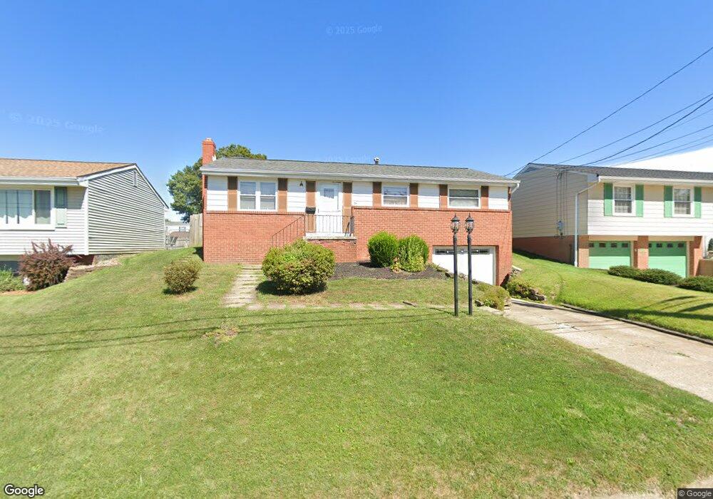
1421 Porter St Conway, PA 15027
Estimated Value: $214,171 - $238,000
3
Beds
1
Bath
960
Sq Ft
$234/Sq Ft
Est. Value
About This Home
This home is located at 1421 Porter St, Conway, PA 15027 and is currently estimated at $225,043, approximately $234 per square foot. 1421 Porter St is a home located in Beaver County with nearby schools including Freedom Area Elementary School, Freedom Area Middle School, and Freedom Area Senior High School.
Ownership History
Date
Name
Owned For
Owner Type
Purchase Details
Closed on
Jul 7, 2011
Sold by
Anderson Millie and Paar Diana
Bought by
Anderson Millie
Current Estimated Value
Create a Home Valuation Report for This Property
The Home Valuation Report is an in-depth analysis detailing your home's value as well as a comparison with similar homes in the area
Home Values in the Area
Average Home Value in this Area
Purchase History
| Date | Buyer | Sale Price | Title Company |
|---|---|---|---|
| Anderson Millie | $50,000 | None Available |
Source: Public Records
Tax History
| Year | Tax Paid | Tax Assessment Tax Assessment Total Assessment is a certain percentage of the fair market value that is determined by local assessors to be the total taxable value of land and additions on the property. | Land | Improvement |
|---|---|---|---|---|
| 2025 | $622 | $84,800 | $16,700 | $68,100 |
| 2024 | $2,905 | $84,800 | $16,700 | $68,100 |
| 2023 | $2,605 | $21,200 | $3,650 | $17,550 |
| 2022 | $2,531 | $21,200 | $3,650 | $17,550 |
| 2021 | $2,531 | $21,200 | $3,650 | $17,550 |
| 2020 | $2,360 | $21,200 | $3,650 | $17,550 |
| 2019 | $2,360 | $21,200 | $3,650 | $17,550 |
| 2018 | $2,268 | $21,200 | $3,650 | $17,550 |
| 2017 | $2,268 | $21,200 | $3,650 | $17,550 |
| 2016 | $2,069 | $21,200 | $3,650 | $17,550 |
| 2015 | $471 | $21,200 | $3,650 | $17,550 |
| 2014 | $471 | $21,200 | $3,650 | $17,550 |
Source: Public Records
Map
Nearby Homes
- 1508 Dupont St
- 1227 Porter St
- 616 Snyder St
- 1025 Catherine Dr
- 1203 2nd Ave
- 110 13th St
- 245 Conway Wallrose Rd
- 908 4th Ave
- 1001 2nd Ave
- 901 Roosevelt St
- 450 Knollwood Cir
- 500 Conway Wallrose Rd
- 155 Sproat Ave
- 54B River Ridge Ct
- 154 Shady River Blvd
- 144 Shady River Blvd
- 40 Shady River Blvd
- 56 Shady River Blvd
- 580 Tevebaugh Hollow Rd
- 0 Romigh Rd Unit 1748054
- 1425 Porter St
- 1417 Porter St
- 1429 Porter St
- 1420 Porter St
- 1424 Porter St
- 1416 Porter St
- Lot #19 Porter St
- Lot #26 Porter St
- Lot 23 Porter St
- Lot 24 Porter St
- Lot 26 Porter St
- Lot 25 Porter St
- Lot 33 Porter St
- 1428 Porter St
- 1424 Foote St
- 1433 Porter St
- 1420 Foote St
- 1409 Porter St
- 1412 Porter St
- 1416 Foote St
Your Personal Tour Guide
Ask me questions while you tour the home.